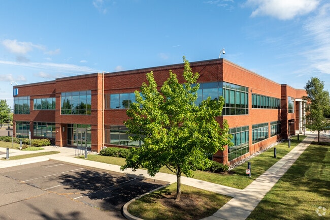
Property Record
1 Manor Dr, Chalfont, PA 18914
NEARBY LISTINGS FOR SALE OR LEASE
Property Detail
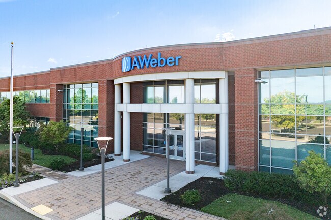
1 Manor Dr
26-005-049-013-001
Unit #1
Officebuilding
2.474AC UNIT #1 NEW BRITA IN CORP CTR BUSINESS COMM UNITY
X
Bucks
42017C0288K
Pennsylvania
2024
2.47 AC
2025
Upper Bucks County
101900
Philadelphia
70,392 SF
Philadelphia-Camden-Wilmington, PA-NJ-DE-MD
DEMOGRAPHICS near 1 Manor Dr
1 Mile
3 Mile
5 Mile
2024 Total Population
9,187
51,315
142,548
2029 Population
9,165
51,648
144,303
Pop Growth 2024-2029
(0.24%)
+ 0.65%
+ 1.23%
Average Age
42
42
42
2024 Total Households
3,496
18,653
52,570
HH Growth 2024-2029
(0.31%)
+ 0.63%
+ 1.18%
Median Household Inc
$115,794
$124,104
$109,260
Avg Household Size
2.60
2.70
2.60
2024 Avg HH Vehicles
2.00
2.00
2.00
Median Home Value
$388,818
$422,131
$414,175
Median Year Built
1985
1986
1981
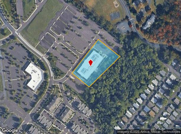
Nearby Places
Map Layers
Map Styles
 Street
 Aerial
- Restaurants
- Banks
- Shops
- Fitness
- Groceries
PUBLIC TRANSPORTATION
COMMUTER RAIL
Link Belt (R5 - Southeastern Pennsylvania Transportation Authority Regional Rail (SEPTA Regional Rail))
DRIVE
WALK
Distance
Link Belt (R5 - Southeastern Pennsylvania Transportation Authority Regional Rail (SEPTA Regional Rail))
4 min
1.9 mi
Chalfont (R5 - Southeastern Pennsylvania Transportation Authority Regional Rail (SEPTA Regional Rail))
DRIVE
WALK
Distance
Chalfont (R5 - Southeastern Pennsylvania Transportation Authority Regional Rail (SEPTA Regional Rail))
6 min
2.1 mi
AIRPORT
Trenton Mercer
DRIVE
WALK
Distance
Trenton Mercer
52 min
28.9 mi
Lehigh Valley International
DRIVE
WALK
Distance
Lehigh Valley International
56 min
33.4 mi
Philadelphia International
DRIVE
WALK
Distance
Philadelphia International
63 min
36.4 mi
Freight Ports
Port of Philadelphia
DRIVE
WALK
Distance
Port of Philadelphia
43 min
25.2 mi
Nearby Properties
Address
Land Use
TOTAL SIZE
Lot Size
Zoning
Address
Land Use
TOTAL SIZE
Lot Size
Zoning
258,179 SF
65.34 AC
IN
Address
Land Use
TOTAL SIZE
Lot Size
Zoning
1,127,663 SF
14.16 AC
RS
Address
Land Use
TOTAL SIZE
Lot Size
Zoning
319,136 SF
18.35 AC
HDR
Address
Land Use
TOTAL SIZE
Lot Size
Zoning
301,431 SF
41.90 AC
S
Address
Land Use
TOTAL SIZE
Lot Size
Zoning
517,834 SF
31.33 AC
GA
Address
Land Use
TOTAL SIZE
Lot Size
Zoning
418,962 SF
37.87 AC
O1
Address
Land Use
TOTAL SIZE
Lot Size
Zoning
245,104 SF
31.21 AC
C
Address
Land Use
TOTAL SIZE
Lot Size
Zoning
199,368 SF
24.65 AC
RC
Address
Land Use
TOTAL SIZE
Lot Size
Zoning
334,450 SF
18.86 AC
GA
Address
Land Use
TOTAL SIZE
Lot Size
Zoning
142,336 SF
3.17 AC
RS
Address
Land Use
TOTAL SIZE
Lot Size
Zoning
333,600 SF
24.72 AC
LI
Address
Land Use
TOTAL SIZE
Lot Size
Zoning
89,349 SF
18.11 AC
R1
Address
Land Use
TOTAL SIZE
Lot Size
Zoning
87,819 SF
1.82 AC
S
Address
Land Use
TOTAL SIZE
Lot Size
Zoning
119,740 SF
9.80 AC
BP
Address
Land Use
TOTAL SIZE
Lot Size
Zoning
136,473 SF
9.44 AC
LI
Address
Land Use
TOTAL SIZE
Lot Size
Zoning
88,060 SF
20.74 AC
R1
Address
Land Use
TOTAL SIZE
Lot Size
Zoning
76,464 SF
21.67 AC
A1
Address
Land Use
TOTAL SIZE
Lot Size
Zoning
77,805 SF
21.18 AC
R2
Address
Land Use
TOTAL SIZE
Lot Size
Zoning
148,670 SF
4.63 AC
C
Address
Land Use
TOTAL SIZE
Lot Size
Zoning
134,272 SF
3.11 AC
S
Address
Land Use
TOTAL SIZE
Lot Size
Zoning
38,713 SF
12.89 AC
LI
Address
Land Use
TOTAL SIZE
Lot Size
Zoning
164,376 SF
12.87 AC
LI
Address
Land Use
TOTAL SIZE
Lot Size
Zoning
57,420 SF
2 AC
IN
Address
Land Use
TOTAL SIZE
Lot Size
Zoning
65,890 SF
5.01 AC
LI
Address
Land Use
TOTAL SIZE
Lot Size
Zoning
183,600 SF
18.26 AC
LI
Address
Land Use
TOTAL SIZE
Lot Size
Zoning
9.43 AC
LI
Address
Land Use
TOTAL SIZE
Lot Size
Zoning
380,875 SF
40.10 AC
LI
Address
Land Use
TOTAL SIZE
Lot Size
Zoning
63,646 SF
6.05 AC
RSA
Address
Land Use
TOTAL SIZE
Lot Size
Zoning
64,066 SF
5.05 AC
O1
Address
Land Use
TOTAL SIZE
Lot Size
Zoning
36,451 SF
22.94 AC
R2
The World's #1 Commercial Real Estate Marketplace
Connect with us
© 2026 CoStar Group
The information above has been obtained from sources believed reliable. While we do not doubt its accuracy we have not verified it and make no guarantee, warranty or representation about it. It is your responsibility to independently confirm its accuracy and completeness. Any projections, opinions, assumptions, or estimates used are for example only and do not represent the current or future performance of the property. The value of this transaction to you depends on tax and other factors which should be evaluated by your tax, financial, and legal advisors. You and your advisors should conduct a careful, independent investigation of the property to determine to your satisfaction the suitability of the property for your needs.