Property Record
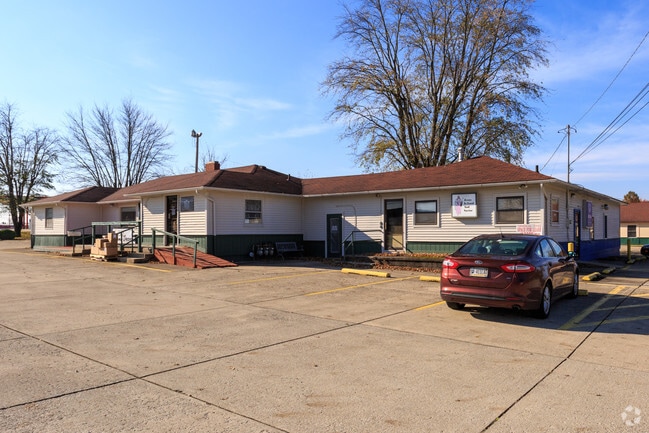
777 E Water St, Pendleton, IN 46064


Property Detail
777 E Water St
48-14-16-400-065.000-013
SE SE 1.8150ACRES STR: 16187 SECTION: PLAT: IN: OUT:
Commercialnec
MADISON
AE The base floodplain where base flood elevations are provided. AE Zones are now used on new format FIRMs instead of A1-A30 Zones.
Indiana
2024
1.82 AC
2025
Anderson/Madison Cnty
011502
Indianapolis
112 SF
Indianapolis-Carmel-Greenwood, IN
NEARBY LISTINGS FOR SALE OR LEASE
DEMOGRAPHICS near 777 E Water St
1 mile
3 mile
5 mile
2025 Total Population
2,641
12,380
22,602
2030 Population
2,712
12,636
23,067
Pop Growth 2025-2030
+ 2.69%
+ 2.07%
+ 2.06%
Average Age
42
43
43
2025 Total Households
1,048
3,681
7,959
HH Growth 2025-2030
+ 2.77%
+ 2.53%
+ 2.32%
Median Household Inc
$93,546
$92,029
$84,293
Avg Household Size
2.40
2.40
2.40
2025 Avg HH Vehicles
2.00
2.00
2.00
Median Home Value
$288,932
$287,436
$235,007
Median Year Built
1976
1977
1977
Nearby Places
Map Layers
Map Styles
 Street
 Aerial
Layers
 Traffic
 Biking
Places
Listings with unknown addresses are not visible on the map
- Restaurants
- Banks
- Shops
- Fitness
- Groceries
PUBLIC TRANSPORTATION
AIRPORT
Indianapolis International
Drive
Walk
Distance
Indianapolis International
70 min
46.8 mi
SALE & LEASE HISTORY
LISTING DATE
SALE/LEASE

Sep 29, 2021
For Lease
Mar 31, 2017
For Lease
Nearby Properties
Address
Land Use
TOTAL SIZE
Lot Size
Zoning
Address
Land Use
TOTAL SIZE
Lot Size
Zoning
256,290 SF
77.35 AC
Address
Land Use
TOTAL SIZE
Lot Size
Zoning
727,832 SF
46.15 AC
Address
Land Use
TOTAL SIZE
Lot Size
Zoning
399,763 SF
40 AC
Address
Land Use
TOTAL SIZE
Lot Size
Zoning
324,931 SF
25.40 AC
Address
Land Use
TOTAL SIZE
Lot Size
Zoning
117,536 SF
14.44 AC
Address
Land Use
TOTAL SIZE
Lot Size
Zoning
325,122 SF
40 AC
Address
Land Use
TOTAL SIZE
Lot Size
Zoning
160,230 SF
15 AC
Address
Land Use
TOTAL SIZE
Lot Size
Zoning
222,080 SF
25 AC
Address
Land Use
TOTAL SIZE
Lot Size
Zoning
140,000 SF
19.36 AC
Address
Land Use
TOTAL SIZE
Lot Size
Zoning
77,500 SF
8.42 AC
Address
Land Use
TOTAL SIZE
Lot Size
Zoning
35,040 SF
11.40 AC
Address
Land Use
TOTAL SIZE
Lot Size
Zoning
32,361 SF
2.88 AC
Address
Land Use
TOTAL SIZE
Lot Size
Zoning
17,729 SF
6.62 AC
Address
Land Use
TOTAL SIZE
Lot Size
Zoning
18,780 SF
2.59 AC
Address
Land Use
TOTAL SIZE
Lot Size
Zoning
47,370 SF
11.23 AC
Address
Land Use
TOTAL SIZE
Lot Size
Zoning
44,660 SF
10 AC
Address
Land Use
TOTAL SIZE
Lot Size
Zoning
17,729 SF
3.38 AC
Address
Land Use
TOTAL SIZE
Lot Size
Zoning
70,000 SF
10.07 AC
Address
Land Use
TOTAL SIZE
Lot Size
Zoning
115,522 SF
20 AC
Address
Land Use
TOTAL SIZE
Lot Size
Zoning
44,699 SF
4.94 AC
Address
Land Use
TOTAL SIZE
Lot Size
Zoning
51,047 SF
4.42 AC
Address
Land Use
TOTAL SIZE
Lot Size
Zoning
19,278 SF
1.76 AC
Address
Land Use
TOTAL SIZE
Lot Size
Zoning
60,000 SF
6.71 AC
Address
Land Use
TOTAL SIZE
Lot Size
Zoning
71,278 SF
7.59 AC
Address
Land Use
TOTAL SIZE
Lot Size
Zoning
21,020 SF
1.15 AC
Address
Land Use
TOTAL SIZE
Lot Size
Zoning
21,641 SF
4.91 AC
Address
Land Use
TOTAL SIZE
Lot Size
Zoning
32,586 SF
3.65 AC
Address
Land Use
TOTAL SIZE
Lot Size
Zoning
30,560 SF
11.27 AC
Address
Land Use
TOTAL SIZE
Lot Size
Zoning
6,660 SF
1.39 AC
Address
Land Use
TOTAL SIZE
Lot Size
Zoning
5,469 SF
2.67 AC
The World's #1 Commercial Real Estate Marketplace
Connect with us
© 2026 CoStar Group
The information above has been obtained from sources believed reliable. While we do not doubt its accuracy we have not verified it and make no guarantee, warranty or representation about it. It is your responsibility to independently confirm its accuracy and completeness. Any projections, opinions, assumptions, or estimates used are for example only and do not represent the current or future performance of the property. The value of this transaction to you depends on tax and other factors which should be evaluated by your tax, financial, and legal advisors. You and your advisors should conduct a careful, independent investigation of the property to determine to your satisfaction the suitability of the property for your needs.