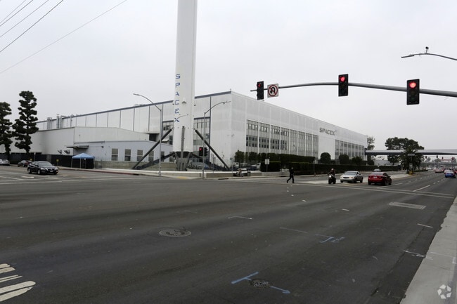
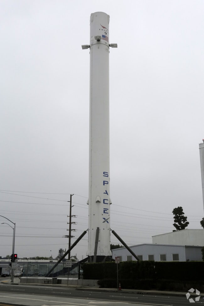
Property Record
1 Rocket Rd, Hawthorne, CA 90250


Property Detail
1 Rocket Rd
4049-019-013
LAND DESC IN DOC 2694745,061205 POR OF NW 1/4 OF SE 1/4 OF SEC 10 T3S R14W
Heavyindustrial
LOS ANGELES
HAM2YY
California
B and X Area of moderate flood hazard, usually the area between the limits of the 100-year and 500-year floods.
10.74 AC
2024
Gardena/Hawthorne
2025
Los Angeles
602513
Los Angeles-Long Beach-Glendale, CA
544,967 SF
NEARBY LISTINGS FOR SALE OR LEASE
DEMOGRAPHICS near 1 Rocket Rd
1 mile
3 mile
5 mile
2025 Total Population
31,187
328,941
787,281
2030 Population
31,056
325,650
779,022
Pop Growth 2025-2030
(0.42%)
(1.00%)
(1.05%)
Average Age
39
39
39
2025 Total Households
10,274
106,879
253,060
HH Growth 2025-2030
(0.49%)
(1.19%)
(1.20%)
Median Household Inc
$71,264
$73,419
$77,599
Avg Household Size
2.90
3.00
3.00
2025 Avg HH Vehicles
2.00
2.00
2.00
Median Home Value
$746,155
$753,987
$799,020
Median Year Built
1961
1959
1959
Nearby Places
Map Layers
Map Styles
 Street
 Aerial
Layers
 Traffic
 Biking
Places
Listings with unknown addresses are not visible on the map
- Restaurants
- Banks
- Shops
- Fitness
- Groceries
PUBLIC TRANSPORTATION
TRANSIT/SUBWAY
Crenshaw Station (Green Line - Los Angeles County Metropolitan Transportation Authority (Metro))
Drive
Walk
Distance
Crenshaw Station (Green Line - Los Angeles County Metropolitan Transportation Authority (Metro))
0 min
6 min
0.4 mi
AIRPORT
Los Angeles International
Drive
Walk
Distance
Los Angeles International
10 min
6.7 mi
Long Beach (Daugherty Field)
Drive
Walk
Distance
Long Beach (Daugherty Field)
22 min
15.3 mi
Bob Hope
Drive
Walk
Distance
Bob Hope
39 min
28.9 mi
Freight Ports
Port of Los Angeles
Drive
Walk
Distance
Port of Los Angeles
28 min
18.6 mi
Nearby Properties
Address
Land Use
TOTAL SIZE
Lot Size
Zoning
Address
Land Use
TOTAL SIZE
Lot Size
Zoning
2,531,696 SF
79.60 AC
INCR*
Address
Land Use
TOTAL SIZE
Lot Size
Zoning
Address
Land Use
TOTAL SIZE
Lot Size
Zoning
Address
Land Use
TOTAL SIZE
Lot Size
Zoning
Address
Land Use
TOTAL SIZE
Lot Size
Zoning
Address
Land Use
TOTAL SIZE
Lot Size
Zoning
724,715 SF
5.76 AC
INCR*
Address
Land Use
TOTAL SIZE
Lot Size
Zoning
418,131 SF
3.03 AC
LCC1
Address
Land Use
TOTAL SIZE
Lot Size
Zoning
227,596 SF
14.38 AC
HAM1YY
Address
Land Use
TOTAL SIZE
Lot Size
Zoning
1,359,630 SF
29 AC
INCR*
Address
Land Use
TOTAL SIZE
Lot Size
Zoning
279,694 SF
3.19 AC
LCR1*
Address
Land Use
TOTAL SIZE
Lot Size
Zoning
216,354 SF
3.52 AC
HAC3
Address
Land Use
TOTAL SIZE
Lot Size
Zoning
214,782 SF
3.66 AC
GAR3
Address
Land Use
TOTAL SIZE
Lot Size
Zoning
662,081 SF
2.50 AC
LAC2
Address
Land Use
TOTAL SIZE
Lot Size
Zoning
239,992 SF
4.72 AC
RBI-1B
Address
Land Use
TOTAL SIZE
Lot Size
Zoning
654,405 SF
14.82 AC
LAM2
Address
Land Use
TOTAL SIZE
Lot Size
Zoning
181,213 SF
3.96 AC
INCR*
Address
Land Use
TOTAL SIZE
Lot Size
Zoning
273,825 SF
7.73 AC
INRM*
Address
Land Use
TOTAL SIZE
Lot Size
Zoning
186,683 SF
1.74 AC
LCR1*
Address
Land Use
TOTAL SIZE
Lot Size
Zoning
986,604 SF
42.66 AC
HAM2YY
Address
Land Use
TOTAL SIZE
Lot Size
Zoning
59,422 SF
2.89 AC
HAM2YY
Address
Land Use
TOTAL SIZE
Lot Size
Zoning
169,758 SF
9.20 AC
LCR1*
Address
Land Use
TOTAL SIZE
Lot Size
Zoning
1,106,631 SF
1.12 AC
INC2YY
Address
Land Use
TOTAL SIZE
Lot Size
Zoning
111,254 SF
5.63 AC
INCR
Address
Land Use
TOTAL SIZE
Lot Size
Zoning
112,875 SF
2.55 AC
INC2VV
Address
Land Use
TOTAL SIZE
Lot Size
Zoning
121,090 SF
4.18 AC
LCM2*
Address
Land Use
TOTAL SIZE
Lot Size
Zoning
483,516 SF
11.10 AC
GAM2
Address
Land Use
TOTAL SIZE
Lot Size
Zoning
242,423 SF
6.62 AC
HAC2
Address
Land Use
TOTAL SIZE
Lot Size
Zoning
267,463 SF
INCR
Address
Land Use
TOTAL SIZE
Lot Size
Zoning
130,337 SF
9.31 AC
HAM2
The World's #1 Commercial Real Estate Marketplace
Connect with us
© 2026 CoStar Group
The information above has been obtained from sources believed reliable. While we do not doubt its accuracy we have not verified it and make no guarantee, warranty or representation about it. It is your responsibility to independently confirm its accuracy and completeness. Any projections, opinions, assumptions, or estimates used are for example only and do not represent the current or future performance of the property. The value of this transaction to you depends on tax and other factors which should be evaluated by your tax, financial, and legal advisors. You and your advisors should conduct a careful, independent investigation of the property to determine to your satisfaction the suitability of the property for your needs.