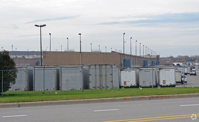
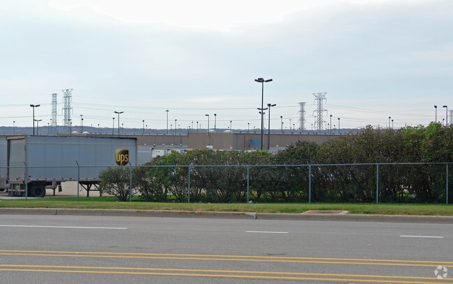
Property Record
1 Ups Way, Hodgkins, IL 60525
NEARBY LISTINGS FOR SALE OR LEASE
Property Detail
1 Ups Way
18-32-200-017-0000
Cook
Industrialgeneral
Illinois
X
68.06 AC
17031C0582J
North I-55 Corridor
2023
Chicago
2025
Chicago-Naperville-Elgin, IL-IN-WI
820202
DEMOGRAPHICS near 1 Ups Way
1 Mile
3 Mile
5 Mile
2024 Total Population
2,515
51,037
205,568
2029 Population
2,434
49,901
200,836
Pop Growth 2024-2029
(3.22%)
(2.23%)
(2.30%)
Average Age
46
43
41
2024 Total Households
1,083
19,554
75,904
HH Growth 2024-2029
(3.51%)
(2.60%)
(2.56%)
Median Household Inc
$99,278
$87,103
$88,889
Avg Household Size
2.30
2.60
2.60
2024 Avg HH Vehicles
2.00
2.00
2.00
Median Home Value
$298,245
$334,362
$340,060
Median Year Built
1979
1977
1972
Nearby Places
Map Layers
Map Styles
 Street
 Aerial
- Restaurants
- Banks
- Shops
- Fitness
- Groceries
PUBLIC TRANSPORTATION
COMMUTER RAIL
Willow Springs Station (Heritage Corridor Line - Northeast Illinois Regional Commuter Railroad (Metra))
DRIVE
WALK
Distance
Willow Springs Station (Heritage Corridor Line - Northeast Illinois Regional Commuter Railroad (Metra))
10 min
2.9 mi
Western Springs Station (Burlington Northern-Santa Fe Railway Line - Northeast Illinois Regional Commuter Railroad (Metra))
DRIVE
WALK
Distance
Western Springs Station (Burlington Northern-Santa Fe Railway Line - Northeast Illinois Regional Commuter Railroad (Metra))
14 min
5.8 mi
AIRPORT
Chicago Midway International
DRIVE
WALK
Distance
Chicago Midway International
18 min
9.7 mi
Chicago O'Hare International
DRIVE
WALK
Distance
Chicago O'Hare International
35 min
22.5 mi
Freight Ports
Port Milwaukee
DRIVE
WALK
Distance
Port Milwaukee
116 min
94.2 mi
Nearby Properties
Address
Land Use
TOTAL SIZE
Lot Size
Zoning
Address
Land Use
TOTAL SIZE
Lot Size
Zoning
96.60 AC
Address
Land Use
TOTAL SIZE
Lot Size
Zoning
436,456 SF
59.11 AC
I
Address
Land Use
TOTAL SIZE
Lot Size
Zoning
104,912 SF
6.91 AC
Address
Land Use
TOTAL SIZE
Lot Size
Zoning
289,314 SF
2.79 AC
Address
Land Use
TOTAL SIZE
Lot Size
Zoning
110,584 SF
5.57 AC
Address
Land Use
TOTAL SIZE
Lot Size
Zoning
111,892 SF
8.69 AC
I
Address
Land Use
TOTAL SIZE
Lot Size
Zoning
195,000 SF
10.18 AC
Address
Land Use
TOTAL SIZE
Lot Size
Zoning
49,503 SF
1.47 AC
Address
Land Use
TOTAL SIZE
Lot Size
Zoning
16,077 SF
66.23 AC
Address
Land Use
TOTAL SIZE
Lot Size
Zoning
274,900 SF
13.14 AC
Address
Land Use
TOTAL SIZE
Lot Size
Zoning
215,631 SF
23.94 AC
I
Address
Land Use
TOTAL SIZE
Lot Size
Zoning
70,031 SF
3.87 AC
C
Address
Land Use
TOTAL SIZE
Lot Size
Zoning
Address
Land Use
TOTAL SIZE
Lot Size
Zoning
Address
Land Use
TOTAL SIZE
Lot Size
Zoning
134,235 SF
7.96 AC
Address
Land Use
TOTAL SIZE
Lot Size
Zoning
44,863 SF
9.87 AC
COM-2
Address
Land Use
TOTAL SIZE
Lot Size
Zoning
11.53 AC
Address
Land Use
TOTAL SIZE
Lot Size
Zoning
114,174 SF
15 AC
C
Address
Land Use
TOTAL SIZE
Lot Size
Zoning
105,562 SF
9.64 AC
Address
Land Use
TOTAL SIZE
Lot Size
Zoning
98,811 SF
10.02 AC
Address
Land Use
TOTAL SIZE
Lot Size
Zoning
99.88 AC
Address
Land Use
TOTAL SIZE
Lot Size
Zoning
79,232 SF
3.19 AC
C
Address
Land Use
TOTAL SIZE
Lot Size
Zoning
61,481 SF
3.99 AC
Address
Land Use
TOTAL SIZE
Lot Size
Zoning
14,400 SF
0.80 AC
Address
Land Use
TOTAL SIZE
Lot Size
Zoning
117,394 SF
9.33 AC
Address
Land Use
TOTAL SIZE
Lot Size
Zoning
136,618 SF
19.66 AC
I
Address
Land Use
TOTAL SIZE
Lot Size
Zoning
123,388 SF
11.14 AC
Address
Land Use
TOTAL SIZE
Lot Size
Zoning
41,600 SF
3.66 AC
C
Address
Land Use
TOTAL SIZE
Lot Size
Zoning
45,684 SF
4.24 AC
C
The World's #1 Commercial Real Estate Marketplace
Connect with us
© 2026 CoStar Group
The information above has been obtained from sources believed reliable. While we do not doubt its accuracy we have not verified it and make no guarantee, warranty or representation about it. It is your responsibility to independently confirm its accuracy and completeness. Any projections, opinions, assumptions, or estimates used are for example only and do not represent the current or future performance of the property. The value of this transaction to you depends on tax and other factors which should be evaluated by your tax, financial, and legal advisors. You and your advisors should conduct a careful, independent investigation of the property to determine to your satisfaction the suitability of the property for your needs.