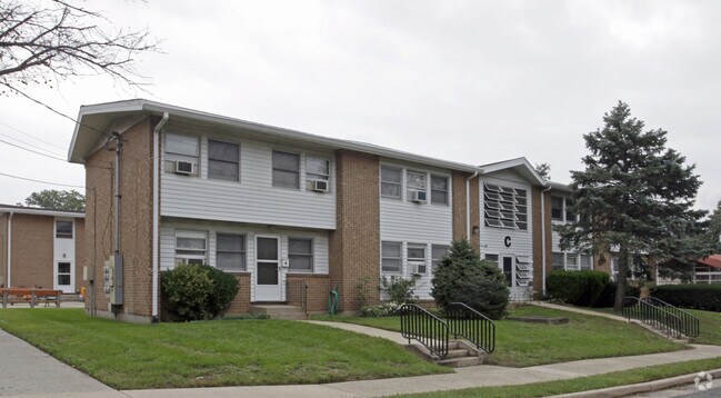
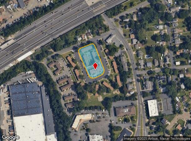
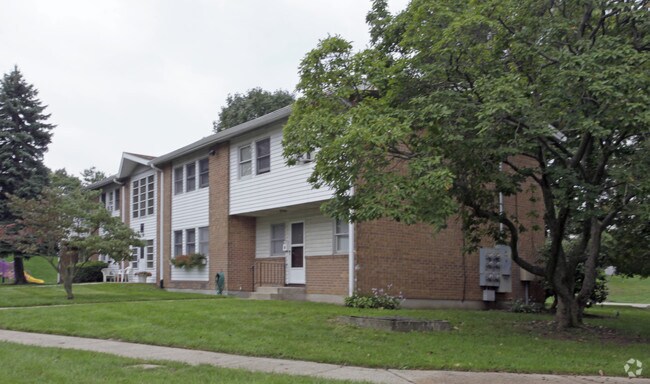
Property Record
1 Willard Dunham Dr, Edison, NJ 08837
NEARBY LISTINGS FOR SALE OR LEASE
Property Detail
1 Willard Dunham Dr
Northern New Jersey
1.24 AC PUBLIC HOUSING
New York-Jersey City-White Plains, NY-NJ
Middlesex
05-00266-04-00027-54
New Jersey
Governmentalpublicusegeneral
27.54
0
1.24 AC
2025
North Middlesex County
001903
DEMOGRAPHICS near 1 Willard Dunham Dr
1 Mile
3 Mile
5 Mile
2024 Total Population
8,044
91,233
307,814
2029 Population
7,984
90,486
304,947
Pop Growth 2024-2029
(0.75%)
(0.82%)
(0.93%)
Average Age
39
40
39
2024 Total Households
2,948
32,902
107,360
HH Growth 2024-2029
(0.81%)
(0.91%)
(0.89%)
Median Household Inc
$120,467
$107,575
$98,673
Avg Household Size
2.70
2.70
2.70
2024 Avg HH Vehicles
2.00
2.00
2.00
Median Home Value
$447,850
$393,918
$391,217
Median Year Built
1980
1964
1967
Nearby Places
Map Layers
Map Styles
 Street
 Aerial
- Restaurants
- Banks
- Shops
- Fitness
- Groceries
PUBLIC TRANSPORTATION
COMMUTER RAIL
Metuchen (Northeast Corridor Line - NJ Transit Commuter Rail (NJ Transit))
DRIVE
WALK
Distance
Metuchen (Northeast Corridor Line - NJ Transit Commuter Rail (NJ Transit))
4 min
1.7 mi
Edison (Northeast Corridor Line - NJ Transit Commuter Rail (NJ Transit))
DRIVE
WALK
Distance
Edison (Northeast Corridor Line - NJ Transit Commuter Rail (NJ Transit))
8 min
4.6 mi
AIRPORT
Newark Liberty International
DRIVE
WALK
Distance
Newark Liberty International
29 min
22.5 mi
Trenton Mercer
DRIVE
WALK
Distance
Trenton Mercer
48 min
34.5 mi
Freight Ports
New York Container Terminal
DRIVE
WALK
Distance
New York Container Terminal
24 min
15.3 mi
Nearby Properties
Address
Land Use
TOTAL SIZE
Lot Size
Zoning
Address
Land Use
TOTAL SIZE
Lot Size
Zoning
37.46 AC
EI
Address
Land Use
TOTAL SIZE
Lot Size
Zoning
65.84 AC
PB
Address
Land Use
TOTAL SIZE
Lot Size
Zoning
165.43 AC
EI
Address
Land Use
TOTAL SIZE
Lot Size
Zoning
147.45 AC
RRRD
Address
Land Use
TOTAL SIZE
Lot Size
Zoning
137.89 AC
RAA
Address
Land Use
TOTAL SIZE
Lot Size
Zoning
49.83 AC
LI
Address
Land Use
TOTAL SIZE
Lot Size
Zoning
55.57 AC
LI
Address
Land Use
TOTAL SIZE
Lot Size
Zoning
40.78 AC
RRRD
Address
Land Use
TOTAL SIZE
Lot Size
Zoning
35.98 AC
LI
Address
Land Use
TOTAL SIZE
Lot Size
Zoning
27.36 AC
Address
Land Use
TOTAL SIZE
Lot Size
Zoning
34.14 AC
LR
Address
Land Use
TOTAL SIZE
Lot Size
Zoning
3.18 AC
Address
Land Use
TOTAL SIZE
Lot Size
Zoning
162.66 AC
LI
Address
Land Use
TOTAL SIZE
Lot Size
Zoning
58.78 AC
LI
Address
Land Use
TOTAL SIZE
Lot Size
Zoning
53.95 AC
RRRD
Address
Land Use
TOTAL SIZE
Lot Size
Zoning
90.33 AC
Address
Land Use
TOTAL SIZE
Lot Size
Zoning
164.79 AC
LI
Address
Land Use
TOTAL SIZE
Lot Size
Zoning
52.04 AC
RRRD
Address
Land Use
TOTAL SIZE
Lot Size
Zoning
23.32 AC
RBTH
Address
Land Use
TOTAL SIZE
Lot Size
Zoning
34.63 AC
LR
Address
Land Use
TOTAL SIZE
Lot Size
Zoning
52.80 AC
LI
Address
Land Use
TOTAL SIZE
Lot Size
Zoning
43.63 AC
MF
Address
Land Use
TOTAL SIZE
Lot Size
Zoning
41.20 AC
RRRD
Address
Land Use
TOTAL SIZE
Lot Size
Zoning
26.07 AC
LR
Address
Land Use
TOTAL SIZE
Lot Size
Zoning
50 AC
LI
Address
Land Use
TOTAL SIZE
Lot Size
Zoning
22.50 AC
LR
Address
Land Use
TOTAL SIZE
Lot Size
Zoning
89.43 AC
LI
Address
Land Use
TOTAL SIZE
Lot Size
Zoning
26.50 AC
LR
Address
Land Use
TOTAL SIZE
Lot Size
Zoning
14.15 AC
GB
Address
Land Use
TOTAL SIZE
Lot Size
Zoning
20.81 AC
GBH
The World's #1 Commercial Real Estate Marketplace
Connect with us
© 2025 CoStar Group
The information above has been obtained from sources believed reliable. While we do not doubt its accuracy we have not verified it and make no guarantee, warranty or representation about it. It is your responsibility to independently confirm its accuracy and completeness. Any projections, opinions, assumptions, or estimates used are for example only and do not represent the current or future performance of the property. The value of this transaction to you depends on tax and other factors which should be evaluated by your tax, financial, and legal advisors. You and your advisors should conduct a careful, independent investigation of the property to determine to your satisfaction the suitability of the property for your needs.