Property Record
10 Knickerbocker Rd, Dumont, NJ 07628
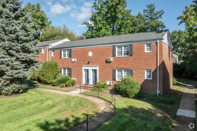


Property Detail
10 Knickerbocker Rd
New York-Jersey City-White Plains, NY-NJ
4.559AC
10-01012-0000-00009
BERGEN
Apartment
New Jersey
RB
9
B and X Area of moderate flood hazard, usually the area between the limits of the 100-year and 500-year floods.
4.56 AC
2024
Greater Bergen County
2025
Northern New Jersey
009100
NEARBY LISTINGS FOR SALE OR LEASE
-
-
View all Dumont listings for sale on LoopNet.com
DEMOGRAPHICS near 10 Knickerbocker Rd
1 mile
3 mile
5 mile
2024 Total Population
23,984
131,801
412,120
2029 Population
24,784
136,154
423,671
Pop Growth 2024-2029
+ 3.34%
+ 3.30%
+ 2.80%
Average Age
42
42
41
2024 Total Households
8,261
44,196
145,686
HH Growth 2024-2029
+ 3.37%
+ 3.30%
+ 2.74%
Median Household Inc
$136,228
$137,357
$110,519
Avg Household Size
2.80
2.90
2.70
2024 Avg HH Vehicles
2.00
2.00
2.00
Median Home Value
$629,011
$681,230
$657,829
Median Year Built
1955
1954
1957
Nearby Places
Map Layers
Map Styles
 Street
 Aerial
Transit
 Traffic
 Biking
Places
Listings with unknown addresses are not visible on the map
- Restaurants
- Banks
- Shops
- Fitness
- Groceries
PUBLIC TRANSPORTATION
COMMUTER RAIL
River Edge (Pascack Valley Line - NJ Transit Commuter Rail (NJ Transit))
Drive
Walk
Distance
River Edge (Pascack Valley Line - NJ Transit Commuter Rail (NJ Transit))
6 min
3.3 mi
Oradell (Pascack Valley Line - NJ Transit Commuter Rail (NJ Transit))
Drive
Walk
Distance
Oradell (Pascack Valley Line - NJ Transit Commuter Rail (NJ Transit))
7 min
3.9 mi
AIRPORT
LaGuardia
Drive
Walk
Distance
LaGuardia
33 min
19.5 mi
Newark Liberty International
Drive
Walk
Distance
Newark Liberty International
28 min
22.1 mi
Westchester County
Drive
Walk
Distance
Westchester County
43 min
28.8 mi
Freight Ports
NY - Red Hook Container Terminal
Drive
Walk
Distance
NY - Red Hook Container Terminal
42 min
24.4 mi
Nearby Properties
Address
Land Use
TOTAL SIZE
Lot Size
Zoning
Address
Land Use
TOTAL SIZE
Lot Size
Zoning
572,137 SF
14.11 AC
R-D
Address
Land Use
TOTAL SIZE
Lot Size
Zoning
219.71 AC
O
Address
Land Use
TOTAL SIZE
Lot Size
Zoning
4,000 SF
14.69 AC
Address
Land Use
TOTAL SIZE
Lot Size
Zoning
5.22 AC
APT
Address
Land Use
TOTAL SIZE
Lot Size
Zoning
185,878 SF
33.44 AC
B
Address
Land Use
TOTAL SIZE
Lot Size
Zoning
135.51 AC
RR
Address
Land Use
TOTAL SIZE
Lot Size
Zoning
94.42 AC
P
Address
Land Use
TOTAL SIZE
Lot Size
Zoning
9.20 AC
OR
Address
Land Use
TOTAL SIZE
Lot Size
Zoning
225.36 AC
O
Address
Land Use
TOTAL SIZE
Lot Size
Zoning
Address
Land Use
TOTAL SIZE
Lot Size
Zoning
47,623 SF
88.60 AC
B
Address
Land Use
TOTAL SIZE
Lot Size
Zoning
68,824 SF
34.75 AC
R-D
Address
Land Use
TOTAL SIZE
Lot Size
Zoning
7.34 AC
Address
Land Use
TOTAL SIZE
Lot Size
Zoning
163.19 AC
Address
Land Use
TOTAL SIZE
Lot Size
Zoning
173,890 SF
23.80 AC
O
Address
Land Use
TOTAL SIZE
Lot Size
Zoning
36.90 AC
MU
Address
Land Use
TOTAL SIZE
Lot Size
Zoning
10.76 AC
A
Address
Land Use
TOTAL SIZE
Lot Size
Zoning
Address
Land Use
TOTAL SIZE
Lot Size
Zoning
0.78 AC
B
Address
Land Use
TOTAL SIZE
Lot Size
Zoning
11.90 AC
A
Address
Land Use
TOTAL SIZE
Lot Size
Zoning
202,062 SF
29 AC
O
Address
Land Use
TOTAL SIZE
Lot Size
Zoning
146,844 SF
23.68 AC
O
Address
Land Use
TOTAL SIZE
Lot Size
Zoning
8.72 AC
A
Address
Land Use
TOTAL SIZE
Lot Size
Zoning
58.78 AC
P
Address
Land Use
TOTAL SIZE
Lot Size
Zoning
8.88 AC
A
Address
Land Use
TOTAL SIZE
Lot Size
Zoning
15.20 AC
A
Address
Land Use
TOTAL SIZE
Lot Size
Zoning
1,620 SF
37.22 AC
R225
Address
Land Use
TOTAL SIZE
Lot Size
Zoning
8.12 AC
A
Address
Land Use
TOTAL SIZE
Lot Size
Zoning
9.44 AC
RESA
Address
Land Use
TOTAL SIZE
Lot Size
Zoning
6.99 AC
A
The World's #1 Commercial Real Estate Marketplace
Connect with us
© 2026 CoStar Group
The information above has been obtained from sources believed reliable. While we do not doubt its accuracy we have not verified it and make no guarantee, warranty or representation about it. It is your responsibility to independently confirm its accuracy and completeness. Any projections, opinions, assumptions, or estimates used are for example only and do not represent the current or future performance of the property. The value of this transaction to you depends on tax and other factors which should be evaluated by your tax, financial, and legal advisors. You and your advisors should conduct a careful, independent investigation of the property to determine to your satisfaction the suitability of the property for your needs.