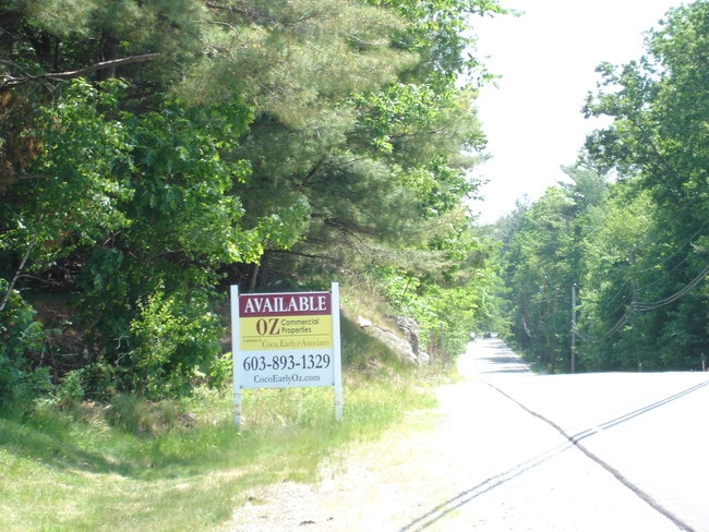
Property Record
10 Libbey Rd, Windham, NH 03087
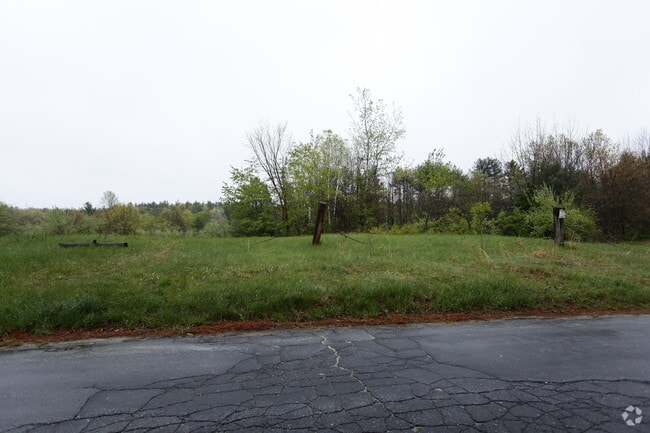

Property Detail
10 Libbey Rd
WNDM-000008-B000000-003000
ROCKINGHAM
Commercialacreage
New Hampshire
MZ
3000
B and X Area of moderate flood hazard, usually the area between the limits of the 100-year and 500-year floods.
8.47 AC
2024
Rockingham
2024
Boston
106101
Boston-Cambridge-Newton, MA-NH
NEARBY LISTINGS FOR SALE OR LEASE
DEMOGRAPHICS near 10 Libbey Rd
1 mile
3 mile
5 mile
2025 Total Population
1,663
16,052
66,640
2030 Population
1,685
16,155
67,259
Pop Growth 2025-2030
+ 1.32%
+ 0.64%
+ 0.93%
Average Age
42
42
43
2025 Total Households
561
5,600
25,520
HH Growth 2025-2030
+ 1.07%
+ 0.46%
+ 0.84%
Median Household Inc
$169,676
$149,665
$115,022
Avg Household Size
2.90
2.80
2.60
2025 Avg HH Vehicles
2.00
2.00
2.00
Median Home Value
$705,465
$592,211
$507,437
Median Year Built
1995
1985
1980
Nearby Places
Map Layers
Map Styles
 Street
 Aerial
Transit
 Traffic
 Biking
Places
Listings with unknown addresses are not visible on the map
- Restaurants
- Banks
- Shops
- Fitness
- Groceries
PUBLIC TRANSPORTATION
AIRPORT
Manchester Boston Regional
Drive
Walk
Distance
Manchester Boston Regional
33 min
14.2 mi
Portsmouth International at Pease
Drive
Walk
Distance
Portsmouth International at Pease
62 min
42.2 mi
Freight Ports
Port of Boston
Drive
Walk
Distance
Port of Boston
55 min
39.4 mi
SALE & LEASE HISTORY
LISTING DATE
SALE/LEASE

Sep 24, 2016
For Sale
Nearby Properties
Address
Land Use
TOTAL SIZE
Lot Size
Zoning
Address
Land Use
TOTAL SIZE
Lot Size
Zoning
21,433 SF
7.54 AC
LID
Address
Land Use
TOTAL SIZE
Lot Size
Zoning
63,628 SF
34.21 AC
CDA
Address
Land Use
TOTAL SIZE
Lot Size
Zoning
59,565 SF
41.20 AC
RD
Address
Land Use
TOTAL SIZE
Lot Size
Zoning
19,920 SF
15 AC
PBT
Address
Land Use
TOTAL SIZE
Lot Size
Zoning
56,632 SF
14.20 AC
RUR
Address
Land Use
TOTAL SIZE
Lot Size
Zoning
7.21 AC
IND5
Address
Land Use
TOTAL SIZE
Lot Size
Zoning
3,602 SF
7.45 AC
RD
Address
Land Use
TOTAL SIZE
Lot Size
Zoning
11,412 SF
4.21 AC
CDA
Address
Land Use
TOTAL SIZE
Lot Size
Zoning
320 SF
13.40 AC
RUR
Address
Land Use
TOTAL SIZE
Lot Size
Zoning
40,000 SF
7.53 AC
CDA
Address
Land Use
TOTAL SIZE
Lot Size
Zoning
23,964 SF
12.47 AC
MZ
Address
Land Use
TOTAL SIZE
Lot Size
Zoning
3,616 SF
17.77 AC
GC4
Address
Land Use
TOTAL SIZE
Lot Size
Zoning
23,544 SF
14.45 AC
CDB
Address
Land Use
TOTAL SIZE
Lot Size
Zoning
42,720 SF
5.27 AC
LID
Address
Land Use
TOTAL SIZE
Lot Size
Zoning
26,262 SF
3.75 AC
CDA
Address
Land Use
TOTAL SIZE
Lot Size
Zoning
30.36 AC
GC
Address
Land Use
TOTAL SIZE
Lot Size
Zoning
10,752 SF
31.86 AC
MZ
Address
Land Use
TOTAL SIZE
Lot Size
Zoning
31,096 SF
14.47 AC
CDA
Address
Land Use
TOTAL SIZE
Lot Size
Zoning
23,160 SF
2.82 AC
GC
Address
Land Use
TOTAL SIZE
Lot Size
Zoning
37,728 SF
24.56 AC
PBT
Address
Land Use
TOTAL SIZE
Lot Size
Zoning
25,200 SF
3.52 AC
CDA
Address
Land Use
TOTAL SIZE
Lot Size
Zoning
22,199 SF
3.46 AC
WRB
Address
Land Use
TOTAL SIZE
Lot Size
Zoning
35,870 SF
4.32 AC
LCSD
Address
Land Use
TOTAL SIZE
Lot Size
Zoning
46,020 SF
3.46 AC
CDA
Address
Land Use
TOTAL SIZE
Lot Size
Zoning
11,316 SF
1.47 AC
GCD
Address
Land Use
TOTAL SIZE
Lot Size
Zoning
18,164 SF
1.52 AC
CDA
Address
Land Use
TOTAL SIZE
Lot Size
Zoning
26,184 SF
2.65 AC
GCD
Address
Land Use
TOTAL SIZE
Lot Size
Zoning
57,938 SF
23.60 AC
RUR
Address
Land Use
TOTAL SIZE
Lot Size
Zoning
7,280 SF
1.88 AC
GCD
Address
Land Use
TOTAL SIZE
Lot Size
Zoning
19,448 SF
4.59 AC
CDA
The World's #1 Commercial Real Estate Marketplace
Connect with us
© 2026 CoStar Group
The information above has been obtained from sources believed reliable. While we do not doubt its accuracy we have not verified it and make no guarantee, warranty or representation about it. It is your responsibility to independently confirm its accuracy and completeness. Any projections, opinions, assumptions, or estimates used are for example only and do not represent the current or future performance of the property. The value of this transaction to you depends on tax and other factors which should be evaluated by your tax, financial, and legal advisors. You and your advisors should conduct a careful, independent investigation of the property to determine to your satisfaction the suitability of the property for your needs.