Property Record
10 Network Cir, Menlo Park, CA 94025

Save to a Folder
{{folder.Name}}
{{folder.ListingIds.length}} Properties
{{folder.ListingIds.length}} Property
Create a New Folder
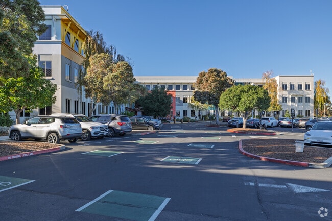
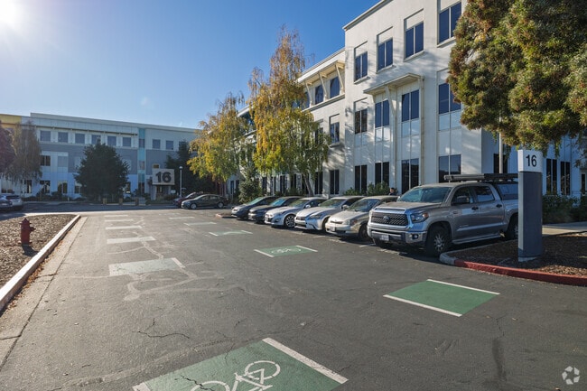
Property Detail
10 Network Cir
San Francisco-San Mateo-Redwood City, CA
56.908 AC MOL LOT 1 OF DOC 2011-101666
055-411-150
SAN MATEO
Officebuilding
California
AE The base floodplain where base flood elevations are provided. AE Zones are now used on new format FIRMs instead of A1-A30 Zones.
1
2025
56.91 AC
2026
Menlo Park
612600
San Francisco
999,999 SF
NEARBY LISTINGS FOR SALE OR LEASE
DEMOGRAPHICS near 10 Network Cir
1 mile
3 mile
5 mile
2025 Total Population
7,598
78,177
214,884
2030 Population
7,478
78,862
218,577
Pop Growth 2025-2030
(1.58%)
+ 0.88%
+ 1.72%
Average Age
37
39
39
2025 Total Households
1,847
25,534
72,260
HH Growth 2025-2030
(1.89%)
+ 1.25%
+ 2.00%
Median Household Inc
$131,351
$152,088
$150,772
Avg Household Size
3.70
2.90
2.60
2025 Avg HH Vehicles
3.00
2.00
2.00
Median Home Value
$1,018,750
$1,107,323
$1,122,216
Median Year Built
1955
1960
1966
Nearby Places
Map Layers
Map Styles
 Street
 Aerial
Layers
 Traffic
 Biking
Places
Listings with unknown addresses are not visible on the map
- Restaurants
- Banks
- Shops
- Fitness
- Groceries
PUBLIC TRANSPORTATION
COMMUTER RAIL
Drive
Walk
Distance
12 min
3.8 mi
Drive
Walk
Distance
12 min
4.1 mi
AIRPORT
Norman Y Mineta San Jose International
Drive
Walk
Distance
Norman Y Mineta San Jose International
25 min
16.9 mi
San Francisco International
Drive
Walk
Distance
San Francisco International
27 min
18.6 mi
Metro Oakland International
Drive
Walk
Distance
Metro Oakland International
37 min
26.2 mi
Freight Ports
Port of Redwood City
Drive
Walk
Distance
Port of Redwood City
12 min
5.5 mi
Nearby Properties
Address
Land Use
TOTAL SIZE
Lot Size
Zoning
Address
Land Use
TOTAL SIZE
Lot Size
Zoning
719,052 SF
56.03 AC
Address
Land Use
TOTAL SIZE
Lot Size
Zoning
22.07 AC
Address
Land Use
TOTAL SIZE
Lot Size
Zoning
Address
Land Use
TOTAL SIZE
Lot Size
Zoning
520,988 SF
8.88 AC
Address
Land Use
TOTAL SIZE
Lot Size
Zoning
Address
Land Use
TOTAL SIZE
Lot Size
Zoning
210,000 SF
10.79 AC
Address
Land Use
TOTAL SIZE
Lot Size
Zoning
528,437 SF
9.69 AC
Address
Land Use
TOTAL SIZE
Lot Size
Zoning
247,567 SF
3.52 AC
Address
Land Use
TOTAL SIZE
Lot Size
Zoning
212,924 SF
1.83 AC
Address
Land Use
TOTAL SIZE
Lot Size
Zoning
164,853 SF
3.89 AC
Address
Land Use
TOTAL SIZE
Lot Size
Zoning
145,617 SF
8.24 AC
EA00C1
Address
Land Use
TOTAL SIZE
Lot Size
Zoning
143,429 SF
2.12 AC
Address
Land Use
TOTAL SIZE
Lot Size
Zoning
149,700 SF
2.28 AC
Address
Land Use
TOTAL SIZE
Lot Size
Zoning
171,563 SF
3.57 AC
Address
Land Use
TOTAL SIZE
Lot Size
Zoning
222,234 SF
6.39 AC
Address
Land Use
TOTAL SIZE
Lot Size
Zoning
Address
Land Use
TOTAL SIZE
Lot Size
Zoning
190,000 SF
3.37 AC
Address
Land Use
TOTAL SIZE
Lot Size
Zoning
190,389 SF
11.20 AC
M20000
Address
Land Use
TOTAL SIZE
Lot Size
Zoning
2,024 SF
1.38 AC
Address
Land Use
TOTAL SIZE
Lot Size
Zoning
68,488 SF
1.38 AC
M20000
Address
Land Use
TOTAL SIZE
Lot Size
Zoning
102,690 SF
6.71 AC
Address
Land Use
TOTAL SIZE
Lot Size
Zoning
259,586 SF
17.92 AC
LMD
Address
Land Use
TOTAL SIZE
Lot Size
Zoning
2,021 SF
1.71 AC
C40000
Address
Land Use
TOTAL SIZE
Lot Size
Zoning
129,899 SF
1.77 AC
Address
Land Use
TOTAL SIZE
Lot Size
Zoning
12.86 AC
C10000
Address
Land Use
TOTAL SIZE
Lot Size
Zoning
129,899 SF
1.47 AC
Address
Land Use
TOTAL SIZE
Lot Size
Zoning
297,014 SF
10.12 AC
Address
Land Use
TOTAL SIZE
Lot Size
Zoning
48,469 SF
6.70 AC
C10000
Address
Land Use
TOTAL SIZE
Lot Size
Zoning
172,095 SF
8.75 AC
MH0000
The World's #1 Commercial Real Estate Marketplace
Connect with us
© 2026 CoStar Group
The information above has been obtained from sources believed reliable. While we do not doubt its accuracy we have not verified it and make no guarantee, warranty or representation about it. It is your responsibility to independently confirm its accuracy and completeness. Any projections, opinions, assumptions, or estimates used are for example only and do not represent the current or future performance of the property. The value of this transaction to you depends on tax and other factors which should be evaluated by your tax, financial, and legal advisors. You and your advisors should conduct a careful, independent investigation of the property to determine to your satisfaction the suitability of the property for your needs.