Property Record
10 Unknown, Anytowne, OR 00000
Property Detail
10 Unknown
Eugene-Springfield, OR
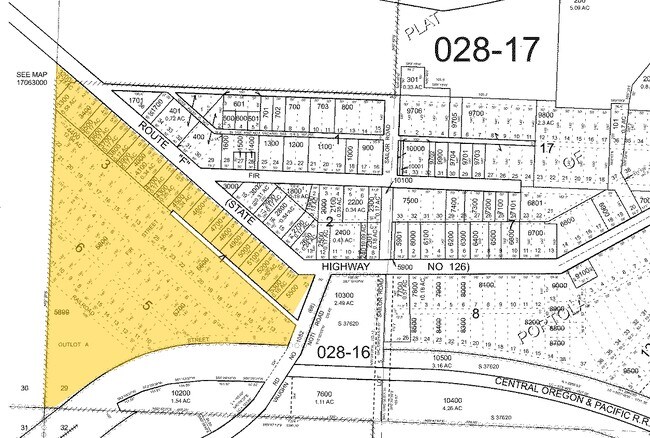
TL 03800
1837465
LANE
Industrialgeneral
Oregon
M2
3800
2025
3.37 AC
2025
Lane County
000902
Portland
NEARBY LISTINGS FOR SALE OR LEASE
-
-
View all Anytowne listings for sale on LoopNet.com
DEMOGRAPHICS near 10 Unknown
1 mile
3 mile
5 mile
2025 Total Population
315
1,082
4,791
2030 Population
314
1,079
4,705
Pop Growth 2025-2030
(0.32%)
(0.28%)
(1.80%)
Average Age
45
46
43
2025 Total Households
113
403
1,820
HH Growth 2025-2030
(0.88%)
(0.50%)
(1.92%)
Median Household Inc
$109,659
$106,505
$85,348
Avg Household Size
2.50
2.50
2.60
2025 Avg HH Vehicles
3.00
3.00
2.00
Median Home Value
$471,874
$474,730
$450,381
Median Year Built
1973
1978
1980
Nearby Places
Map Layers
Map Styles
 Street
 Aerial
Transit
 Traffic
 Biking
Places
Listings with unknown addresses are not visible on the map
- Restaurants
- Banks
- Shops
- Fitness
- Groceries
PUBLIC TRANSPORTATION
AIRPORT
Mahlon Sweet Field
Drive
Walk
Distance
Mahlon Sweet Field
14 min
6.9 mi
Freight Ports
Port of Coos Bay, OR
Drive
Walk
Distance
Port of Coos Bay, OR
158 min
113.2 mi
Nearby Properties
Address
Land Use
TOTAL SIZE
Lot Size
Zoning
Address
Land Use
TOTAL SIZE
Lot Size
Zoning
52.04 AC
M3
Address
Land Use
TOTAL SIZE
Lot Size
Zoning
Address
Land Use
TOTAL SIZE
Lot Size
Zoning
27.33 AC
M1
Address
Land Use
TOTAL SIZE
Lot Size
Zoning
121.21 AC
E40
Address
Land Use
TOTAL SIZE
Lot Size
Zoning
Address
Land Use
TOTAL SIZE
Lot Size
Zoning
Address
Land Use
TOTAL SIZE
Lot Size
Zoning
31.27 AC
E30
Address
Land Use
TOTAL SIZE
Lot Size
Zoning
Address
Land Use
TOTAL SIZE
Lot Size
Zoning
12.65 AC
EFU
Address
Land Use
TOTAL SIZE
Lot Size
Zoning
6.83 AC
GC
Address
Land Use
TOTAL SIZE
Lot Size
Zoning
19.15 AC
E30
Address
Land Use
TOTAL SIZE
Lot Size
Zoning
123.75 AC
E30
Address
Land Use
TOTAL SIZE
Lot Size
Zoning
3.29 AC
M1
Address
Land Use
TOTAL SIZE
Lot Size
Zoning
20.98 AC
E30
Address
Land Use
TOTAL SIZE
Lot Size
Zoning
19.15 AC
E30
Address
Land Use
TOTAL SIZE
Lot Size
Zoning
Address
Land Use
TOTAL SIZE
Lot Size
Zoning
2.52 AC
GC
Address
Land Use
TOTAL SIZE
Lot Size
Zoning
8.09 AC
M1
Address
Land Use
TOTAL SIZE
Lot Size
Zoning
Address
Land Use
TOTAL SIZE
Lot Size
Zoning
4.17 AC
E30
Address
Land Use
TOTAL SIZE
Lot Size
Zoning
6.88 AC
E30
Address
Land Use
TOTAL SIZE
Lot Size
Zoning
35.67 AC
AO
Address
Land Use
TOTAL SIZE
Lot Size
Zoning
90.95 AC
AO
Address
Land Use
TOTAL SIZE
Lot Size
Zoning
8.71 AC
M2
Address
Land Use
TOTAL SIZE
Lot Size
Zoning
4.90 AC
RI
Address
Land Use
TOTAL SIZE
Lot Size
Zoning
Address
Land Use
TOTAL SIZE
Lot Size
Zoning
7.97 AC
M2
Address
Land Use
TOTAL SIZE
Lot Size
Zoning
92.41 AC
PL
Address
Land Use
TOTAL SIZE
Lot Size
Zoning
1.44 AC
GC
Address
Land Use
TOTAL SIZE
Lot Size
Zoning
1.05 AC
GC
The World's #1 Commercial Real Estate Marketplace
Connect with us
© 2026 CoStar Group
The information above has been obtained from sources believed reliable. While we do not doubt its accuracy we have not verified it and make no guarantee, warranty or representation about it. It is your responsibility to independently confirm its accuracy and completeness. Any projections, opinions, assumptions, or estimates used are for example only and do not represent the current or future performance of the property. The value of this transaction to you depends on tax and other factors which should be evaluated by your tax, financial, and legal advisors. You and your advisors should conduct a careful, independent investigation of the property to determine to your satisfaction the suitability of the property for your needs.