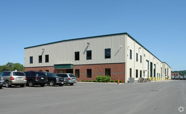
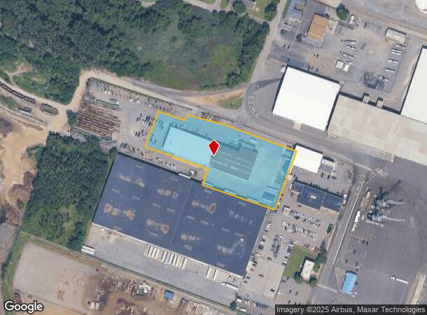
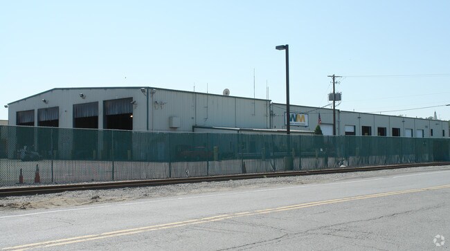
Property Record
100 Boat St, Albany, NY 12202
NEARBY LISTINGS FOR SALE OR LEASE
Property Detail
100 Boat St
010100-087-011-0001-011-000-0000
1 STEEL 0112521
Warehouse
Albany
AE
New York
36083C0219D
11.000
2025
3.10 AC
2024
Greater Albany
002600
Albany/Schenectady/Troy
21,044 SF
Albany-Schenectady-Troy, NY
DEMOGRAPHICS near 100 Boat St
1 Mile
3 Mile
5 Mile
2024 Total Population
5,422
82,251
156,879
2029 Population
5,339
81,083
155,178
Pop Growth 2024-2029
(1.53%)
(1.42%)
(1.08%)
Average Age
37
37
40
2024 Total Households
2,344
36,419
68,854
HH Growth 2024-2029
(1.58%)
(1.39%)
(1.09%)
Median Household Inc
$46,000
$54,880
$69,736
Avg Household Size
2.10
2.10
2.10
2024 Avg HH Vehicles
1.00
1.00
1.00
Median Home Value
$129,853
$194,966
$246,324
Median Year Built
1955
1949
1958
Nearby Places
- Restaurants
- Banks
- Shops
- Fitness
- Groceries
PUBLIC TRANSPORTATION
COMMUTER RAIL
Albany-Rensselaer Amtrak Station (Adirondack - Amtrak, Empire Service - Amtrak, Ethan Allen Express - Amtrak, Lake Shore Limited - Amtrak, Maple Leaf - Amtrak, Toronto - New York - Amtrak)
DRIVE
WALK
Distance
Albany-Rensselaer Amtrak Station (Adirondack - Amtrak, Empire Service - Amtrak, Ethan Allen Express - Amtrak, Lake Shore Limited - Amtrak, Maple Leaf - Amtrak, Toronto - New York - Amtrak)
7 min
2.7 mi
AIRPORT
Albany International
DRIVE
WALK
Distance
Albany International
23 min
12.5 mi
Freight Ports
Albany, NY Port
DRIVE
WALK
Distance
Albany, NY Port
0 min
0.2 mi
Nearby Properties
Address
Land Use
TOTAL SIZE
Lot Size
Zoning
Address
Land Use
TOTAL SIZE
Lot Size
Zoning
901,573 SF
38 AC
CO
Address
Land Use
TOTAL SIZE
Lot Size
Zoning
11,372 SF
30 AC
CO
Address
Land Use
TOTAL SIZE
Lot Size
Zoning
674,048 SF
7.40 AC
CO
Address
Land Use
TOTAL SIZE
Lot Size
Zoning
33.88 AC
I2
Address
Land Use
TOTAL SIZE
Lot Size
Zoning
599,952 SF
28.30 AC
CO
Address
Land Use
TOTAL SIZE
Lot Size
Zoning
442,188 SF
15.10 AC
CO
Address
Land Use
TOTAL SIZE
Lot Size
Zoning
567,019 SF
1.42 AC
CO
Address
Land Use
TOTAL SIZE
Lot Size
Zoning
502,950 SF
12.50 AC
CO
Address
Land Use
TOTAL SIZE
Lot Size
Zoning
1.42 AC
C3
Address
Land Use
TOTAL SIZE
Lot Size
Zoning
83.50 AC
Address
Land Use
TOTAL SIZE
Lot Size
Zoning
133,984 SF
205.20 AC
C2
Address
Land Use
TOTAL SIZE
Lot Size
Zoning
368,685 SF
3.10 AC
CO
Address
Land Use
TOTAL SIZE
Lot Size
Zoning
152,951 SF
3.70 AC
CO
Address
Land Use
TOTAL SIZE
Lot Size
Zoning
197,169 SF
5 AC
CO
Address
Land Use
TOTAL SIZE
Lot Size
Zoning
358,360 SF
10.10 AC
CO
Address
Land Use
TOTAL SIZE
Lot Size
Zoning
206.10 AC
C2
Address
Land Use
TOTAL SIZE
Lot Size
Zoning
541,564 SF
7.40 AC
C3
Address
Land Use
TOTAL SIZE
Lot Size
Zoning
207.50 AC
CM
Address
Land Use
TOTAL SIZE
Lot Size
Zoning
802,560 SF
5.70 AC
R4
Address
Land Use
TOTAL SIZE
Lot Size
Zoning
191.95 AC
LC
Address
Land Use
TOTAL SIZE
Lot Size
Zoning
156,056 SF
1.31 AC
CO
Address
Land Use
TOTAL SIZE
Lot Size
Zoning
177,030 SF
0.06 AC
C3
Address
Land Use
TOTAL SIZE
Lot Size
Zoning
889,560 SF
0.50 AC
CO
Address
Land Use
TOTAL SIZE
Lot Size
Zoning
12,660 SF
15.60 AC
CO
Address
Land Use
TOTAL SIZE
Lot Size
Zoning
166,812 SF
0.78 AC
CO
Address
Land Use
TOTAL SIZE
Lot Size
Zoning
5,248 SF
200.90 AC
LC
Address
Land Use
TOTAL SIZE
Lot Size
Zoning
296,914 SF
68.73 AC
PDD
Address
Land Use
TOTAL SIZE
Lot Size
Zoning
428,555 SF
1.20 AC
C3
Address
Land Use
TOTAL SIZE
Lot Size
Zoning
105.28 AC
C2
Address
Land Use
TOTAL SIZE
Lot Size
Zoning
99,300 SF
4.66 AC
R2B
The World's #1 Commercial Real Estate Marketplace
Connect with us
© 2025 CoStar Group
The information above has been obtained from sources believed reliable. While we do not doubt its accuracy we have not verified it and make no guarantee, warranty or representation about it. It is your responsibility to independently confirm its accuracy and completeness. Any projections, opinions, assumptions, or estimates used are for example only and do not represent the current or future performance of the property. The value of this transaction to you depends on tax and other factors which should be evaluated by your tax, financial, and legal advisors. You and your advisors should conduct a careful, independent investigation of the property to determine to your satisfaction the suitability of the property for your needs.