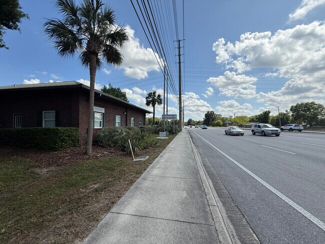
Property Record
110 Burnsed Pl, Oviedo, FL 32765


NEARBY LISTINGS FOR SALE OR LEASE
Property Detail
110 Burnsed Pl
Orlando-Kissimmee-Sanford, FL
Canterbury Cove
27-21-31-516-0000-0680
LOTS 68 & 69 CANTERBURY COVE PB 51 PGS 96 THRU 98
Commercialnec
Seminole
X
Florida
12117C0190F
68,69
2025
0.87 AC
2025
E Seminole Outlying
021320
Orlando
4,437 SF
DEMOGRAPHICS near 110 Burnsed Pl
1 Mile
3 Mile
5 Mile
2024 Total Population
10,099
71,433
175,717
2029 Population
10,535
73,868
180,759
Pop Growth 2024-2029
+ 4.32%
+ 3.41%
+ 2.87%
Average Age
39
36
36
2024 Total Households
3,454
23,337
57,065
HH Growth 2024-2029
+ 4.43%
+ 3.48%
+ 2.85%
Median Household Inc
$91,490
$82,335
$80,144
Avg Household Size
2.80
2.70
2.60
2024 Avg HH Vehicles
2.00
2.00
2.00
Median Home Value
$354,394
$364,935
$351,870
Median Year Built
1994
1995
1992
Nearby Places
Map Layers
Map Styles
 Street
 Aerial
- Restaurants
- Banks
- Shops
- Fitness
- Groceries
PUBLIC TRANSPORTATION
AIRPORT
Orlando Sanford International
DRIVE
WALK
Distance
Orlando Sanford International
21 min
13.4 mi
Orlando International
DRIVE
WALK
Distance
Orlando International
33 min
25.3 mi
SALE & LEASE HISTORY
LISTING DATE
SALE/LEASE

Mar 31, 2025
For Lease
Nearby Properties
Address
Land Use
TOTAL SIZE
Lot Size
Zoning
Address
Land Use
TOTAL SIZE
Lot Size
Zoning
8,247,372 SF
1,194.20 AC
R-3
Address
Land Use
TOTAL SIZE
Lot Size
Zoning
1,198,236 SF
0.47 AC
P-D
Address
Land Use
TOTAL SIZE
Lot Size
Zoning
622,758 SF
P-D
Address
Land Use
TOTAL SIZE
Lot Size
Zoning
538,816 SF
6.25 AC
P-D
Address
Land Use
TOTAL SIZE
Lot Size
Zoning
451,952 SF
21.37 AC
P-D
Address
Land Use
TOTAL SIZE
Lot Size
Zoning
7,384 SF
16.66 AC
Address
Land Use
TOTAL SIZE
Lot Size
Zoning
358,356 SF
19.91 AC
P-D
Address
Land Use
TOTAL SIZE
Lot Size
Zoning
3.66 AC
Address
Land Use
TOTAL SIZE
Lot Size
Zoning
280,279 SF
31.65 AC
A1
Address
Land Use
TOTAL SIZE
Lot Size
Zoning
380,024 SF
P-D
Address
Land Use
TOTAL SIZE
Lot Size
Zoning
276,300 SF
3.34 AC
A1
Address
Land Use
TOTAL SIZE
Lot Size
Zoning
15.52 AC
Address
Land Use
TOTAL SIZE
Lot Size
Zoning
349,075 SF
19.95 AC
P-D
Address
Land Use
TOTAL SIZE
Lot Size
Zoning
5,938 SF
9.14 AC
Address
Land Use
TOTAL SIZE
Lot Size
Zoning
3,406 SF
29.43 AC
PUD
Address
Land Use
TOTAL SIZE
Lot Size
Zoning
255,677 SF
95.62 AC
P-D
Address
Land Use
TOTAL SIZE
Lot Size
Zoning
1,386 SF
19.84 AC
PUD
Address
Land Use
TOTAL SIZE
Lot Size
Zoning
288,241 SF
24.22 AC
PUD
Address
Land Use
TOTAL SIZE
Lot Size
Zoning
183,886 SF
47.67 AC
A1
Address
Land Use
TOTAL SIZE
Lot Size
Zoning
432 SF
16.07 AC
PUD
Address
Land Use
TOTAL SIZE
Lot Size
Zoning
792 SF
15.23 AC
PUD
Address
Land Use
TOTAL SIZE
Lot Size
Zoning
9.23 AC
Address
Land Use
TOTAL SIZE
Lot Size
Zoning
98,868 SF
3.02 AC
Address
Land Use
TOTAL SIZE
Lot Size
Zoning
4,380 SF
20.01 AC
A1
Address
Land Use
TOTAL SIZE
Lot Size
Zoning
906 SF
15.85 AC
C1
Address
Land Use
TOTAL SIZE
Lot Size
Zoning
24,775 SF
15.85 AC
PUD
Address
Land Use
TOTAL SIZE
Lot Size
Zoning
396,335 SF
5 AC
PLI
Address
Land Use
TOTAL SIZE
Lot Size
Zoning
412,265 SF
52.13 AC
PLI
Address
Land Use
TOTAL SIZE
Lot Size
Zoning
5,362 SF
13.48 AC
PUD
Address
Land Use
TOTAL SIZE
Lot Size
Zoning
234,548 SF
14.06 AC
P-D
The World's #1 Commercial Real Estate Marketplace
Connect with us
© 2026 CoStar Group
The information above has been obtained from sources believed reliable. While we do not doubt its accuracy we have not verified it and make no guarantee, warranty or representation about it. It is your responsibility to independently confirm its accuracy and completeness. Any projections, opinions, assumptions, or estimates used are for example only and do not represent the current or future performance of the property. The value of this transaction to you depends on tax and other factors which should be evaluated by your tax, financial, and legal advisors. You and your advisors should conduct a careful, independent investigation of the property to determine to your satisfaction the suitability of the property for your needs.