Property Record
100 Dairy St, Monett, MO 65708


Property Detail
100 Dairy St
03-9.0-31-004-036-0006.000
JONES-THOMAS TO MONETT: W. 250 FT. BLOCK 1 : SEC:31 TWN:26 RNG:27
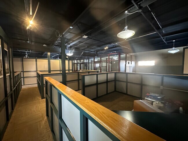
Storebuilding
BARRY
B and X Area of moderate flood hazard, usually the area between the limits of the 100-year and 500-year floods.
Missouri
2024
0.80 AC
2025
Missouri South Area
960302
Other Market Areas
6,988 SF
NEARBY LISTINGS FOR SALE OR LEASE
-
-
View all Monett listings for sale on LoopNet.com
DEMOGRAPHICS near 100 Dairy St
1 mile
3 mile
5 mile
2024 Total Population
4,910
10,933
13,683
2029 Population
4,986
11,175
14,015
Pop Growth 2024-2029
+ 1.55%
+ 2.21%
+ 2.43%
Average Age
36
37
38
2024 Total Households
1,811
4,055
5,088
HH Growth 2024-2029
+ 1.38%
+ 2.07%
+ 2.30%
Median Household Inc
$47,674
$46,458
$47,531
Avg Household Size
2.60
2.60
2.60
2024 Avg HH Vehicles
2.00
2.00
2.00
Median Home Value
$87,607
$128,770
$141,359
Median Year Built
1968
1973
1974
Nearby Places
Map Layers
Map Styles
 Street
 Aerial
Transit
 Traffic
 Biking
Places
Listings with unknown addresses are not visible on the map
- Restaurants
- Banks
- Shops
- Fitness
- Groceries
SALE & LEASE HISTORY
LISTING DATE
SALE/LEASE

Mar 12, 2024
For Sale
Nearby Properties
Address
Land Use
TOTAL SIZE
Lot Size
Zoning
Address
Land Use
TOTAL SIZE
Lot Size
Zoning
6,000 SF
11.60 AC
Address
Land Use
TOTAL SIZE
Lot Size
Zoning
5.43 AC
Address
Land Use
TOTAL SIZE
Lot Size
Zoning
43,706 SF
9.08 AC
Address
Land Use
TOTAL SIZE
Lot Size
Zoning
8,648 SF
0.56 AC
Address
Land Use
TOTAL SIZE
Lot Size
Zoning
32,840 SF
1.37 AC
Address
Land Use
TOTAL SIZE
Lot Size
Zoning
7,552 SF
1.37 AC
Address
Land Use
TOTAL SIZE
Lot Size
Zoning
10,892 SF
19.60 AC
Address
Land Use
TOTAL SIZE
Lot Size
Zoning
11,400 SF
9 AC
Address
Land Use
TOTAL SIZE
Lot Size
Zoning
8,221 SF
2.50 AC
Address
Land Use
TOTAL SIZE
Lot Size
Zoning
9,136 SF
0.64 AC
Address
Land Use
TOTAL SIZE
Lot Size
Zoning
16,859 SF
1.80 AC
Address
Land Use
TOTAL SIZE
Lot Size
Zoning
55,862 SF
3.10 AC
Address
Land Use
TOTAL SIZE
Lot Size
Zoning
6,292 SF
1.20 AC
Address
Land Use
TOTAL SIZE
Lot Size
Zoning
21.33 AC
Address
Land Use
TOTAL SIZE
Lot Size
Zoning
43,800 SF
2.83 AC
Address
Land Use
TOTAL SIZE
Lot Size
Zoning
75,789 SF
5.50 AC
The World's #1 Commercial Real Estate Marketplace
Connect with us
© 2026 CoStar Group
The information above has been obtained from sources believed reliable. While we do not doubt its accuracy we have not verified it and make no guarantee, warranty or representation about it. It is your responsibility to independently confirm its accuracy and completeness. Any projections, opinions, assumptions, or estimates used are for example only and do not represent the current or future performance of the property. The value of this transaction to you depends on tax and other factors which should be evaluated by your tax, financial, and legal advisors. You and your advisors should conduct a careful, independent investigation of the property to determine to your satisfaction the suitability of the property for your needs.