Property Record
100 E Swedesford Rd, Wayne, PA 19087


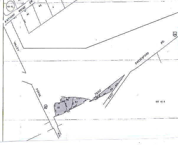
Property Detail
100 E Swedesford Rd
43-05M-0085.0000
LOT & BANK
Financialbuilding
CHESTER
SC
Pennsylvania
AE The base floodplain where base flood elevations are provided. AE Zones are now used on new format FIRMs instead of A1-A30 Zones.
0.84 AC
2024
King of Prussia/Wayne
2025
Philadelphia
300109
Philadelphia-Camden-Wilmington, PA-NJ-DE-MD
3,542 SF
NEARBY LISTINGS FOR SALE OR LEASE
-
-
View all Wayne listings for sale on LoopNet.com
DEMOGRAPHICS near 100 E Swedesford Rd
1 mile
3 mile
5 mile
2025 Total Population
6,187
52,618
130,459
2030 Population
6,367
54,468
134,435
Pop Growth 2025-2030
+ 2.91%
+ 3.52%
+ 3.05%
Average Age
43
41
42
2025 Total Households
2,553
21,754
51,706
HH Growth 2025-2030
+ 2.62%
+ 3.57%
+ 3.20%
Median Household Inc
$149,684
$142,654
$132,609
Avg Household Size
2.30
2.40
2.40
2025 Avg HH Vehicles
2.00
2.00
2.00
Median Home Value
$677,111
$710,051
$638,449
Median Year Built
1972
1976
1974
Nearby Places
Map Layers
Map Styles
 Street
 Aerial
Layers
 Traffic
 Biking
Places
Listings with unknown addresses are not visible on the map
- Restaurants
- Banks
- Shops
- Fitness
- Groceries
PUBLIC TRANSPORTATION
COMMUTER RAIL
Strafford (R5 - Southeastern Pennsylvania Transportation Authority Regional Rail (SEPTA Regional Rail))
Drive
Walk
Distance
Strafford (R5 - Southeastern Pennsylvania Transportation Authority Regional Rail (SEPTA Regional Rail))
7 min
2.6 mi
Devon (R5 - Southeastern Pennsylvania Transportation Authority Regional Rail (SEPTA Regional Rail))
Drive
Walk
Distance
Devon (R5 - Southeastern Pennsylvania Transportation Authority Regional Rail (SEPTA Regional Rail))
8 min
3.1 mi
AIRPORT
Philadelphia International
Drive
Walk
Distance
Philadelphia International
43 min
28.1 mi
Trenton Mercer
Drive
Walk
Distance
Trenton Mercer
59 min
45.3 mi
Freight Ports
South Jersey Port
Drive
Walk
Distance
South Jersey Port
37 min
24.2 mi
Nearby Properties
Address
Land Use
TOTAL SIZE
Lot Size
Zoning
Address
Land Use
TOTAL SIZE
Lot Size
Zoning
2,373,472 SF
96.77 AC
SC
Address
Land Use
TOTAL SIZE
Lot Size
Zoning
536,904 SF
8.84 AC
AG
Address
Land Use
TOTAL SIZE
Lot Size
Zoning
1,724,092 SF
24 AC
SC
Address
Land Use
TOTAL SIZE
Lot Size
Zoning
628,694 SF
6.89 AC
AG
Address
Land Use
TOTAL SIZE
Lot Size
Zoning
649,339 SF
3.69 AC
AG
Address
Land Use
TOTAL SIZE
Lot Size
Zoning
325,016 SF
1.62 AC
P
Address
Land Use
TOTAL SIZE
Lot Size
Zoning
546,664 SF
2.83 AC
AG
Address
Land Use
TOTAL SIZE
Lot Size
Zoning
547,377 SF
3.28 AC
AG
Address
Land Use
TOTAL SIZE
Lot Size
Zoning
617,174 SF
25.32 AC
HR
Address
Land Use
TOTAL SIZE
Lot Size
Zoning
454,933 SF
17.85 AC
SM
Address
Land Use
TOTAL SIZE
Lot Size
Zoning
583,559 SF
AG
Address
Land Use
TOTAL SIZE
Lot Size
Zoning
451,865 SF
19.90 AC
R2
Address
Land Use
TOTAL SIZE
Lot Size
Zoning
413,892 SF
21.94 AC
SM
Address
Land Use
TOTAL SIZE
Lot Size
Zoning
493,690 SF
4.75 AC
AG
Address
Land Use
TOTAL SIZE
Lot Size
Zoning
260,938 SF
9.81 AC
SM1
Address
Land Use
TOTAL SIZE
Lot Size
Zoning
311,353 SF
7.41 AC
SM1
Address
Land Use
TOTAL SIZE
Lot Size
Zoning
488,970 SF
24.68 AC
AR
Address
Land Use
TOTAL SIZE
Lot Size
Zoning
414,642 SF
3.70 AC
AG
Address
Land Use
TOTAL SIZE
Lot Size
Zoning
63,648 SF
8.60 AC
C2
Address
Land Use
TOTAL SIZE
Lot Size
Zoning
322,736 SF
22 AC
LI
Address
Land Use
TOTAL SIZE
Lot Size
Zoning
114,121 SF
16.80 AC
LI
Address
Land Use
TOTAL SIZE
Lot Size
Zoning
381,927 SF
5.10 AC
SM
Address
Land Use
TOTAL SIZE
Lot Size
Zoning
6,210 SF
17.16 AC
Address
Land Use
TOTAL SIZE
Lot Size
Zoning
351,149 SF
12.73 AC
OA
Address
Land Use
TOTAL SIZE
Lot Size
Zoning
918,170 SF
89.93 AC
LI
Address
Land Use
TOTAL SIZE
Lot Size
Zoning
396,137 SF
2.26 AC
HR
Address
Land Use
TOTAL SIZE
Lot Size
Zoning
253,500 SF
5.47 AC
AG
Address
Land Use
TOTAL SIZE
Lot Size
Zoning
799,754 SF
27.10 AC
R4
Address
Land Use
TOTAL SIZE
Lot Size
Zoning
123,862 SF
12.97 AC
AG
Address
Land Use
TOTAL SIZE
Lot Size
Zoning
163,400 SF
16.90 AC
R2
The World's #1 Commercial Real Estate Marketplace
Connect with us
© 2026 CoStar Group
The information above has been obtained from sources believed reliable. While we do not doubt its accuracy we have not verified it and make no guarantee, warranty or representation about it. It is your responsibility to independently confirm its accuracy and completeness. Any projections, opinions, assumptions, or estimates used are for example only and do not represent the current or future performance of the property. The value of this transaction to you depends on tax and other factors which should be evaluated by your tax, financial, and legal advisors. You and your advisors should conduct a careful, independent investigation of the property to determine to your satisfaction the suitability of the property for your needs.