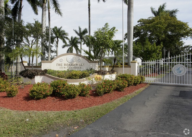
Property Record
100 Ne 6Th Ave, Homestead, FL 33030


NEARBY LISTINGS FOR SALE OR LEASE
Property Detail
100 Ne 6Th Ave
Miami-Miami Beach-Kendall, FL
M/L Miami Land & Dev Cos Sub
10-7918-001-0060
18 57 39 27.49 AC M/L MIAMI LAND & DEV COS SUB PB 5-10 LOTS 13 & 14 LESS S50FT FOR R/W& LOT 15 BLK 1 OR 17205-3056 0596 1 COC 22343-3740 05 2004 1
Parkinglot
Miami/Dade
X
Florida
12086C0727L
13,14
2024
27.49 AC
2025
Downtown Homestead
011103
South Florida
5,891 SF
DEMOGRAPHICS near 100 Ne 6Th Ave
1 Mile
3 Mile
5 Mile
2024 Total Population
18,489
115,440
163,163
2029 Population
17,961
113,180
160,150
Pop Growth 2024-2029
(2.86%)
(1.96%)
(1.85%)
Average Age
36
36
36
2024 Total Households
5,881
34,674
48,259
HH Growth 2024-2029
(3.37%)
(2.37%)
(2.30%)
Median Household Inc
$38,105
$53,265
$53,736
Avg Household Size
3.00
3.20
3.20
2024 Avg HH Vehicles
1.00
2.00
2.00
Median Home Value
$198,789
$305,184
$308,774
Median Year Built
1988
1995
1998
Nearby Places
Map Layers
Map Styles
 Street
 Aerial
- Restaurants
- Banks
- Shops
- Fitness
- Groceries
PUBLIC TRANSPORTATION
AIRPORT
Miami International
DRIVE
WALK
Distance
Miami International
46 min
31.5 mi
Nearby Properties
Address
Land Use
TOTAL SIZE
Lot Size
Zoning
Address
Land Use
TOTAL SIZE
Lot Size
Zoning
487,531 SF
60 AC
9300
Address
Land Use
TOTAL SIZE
Lot Size
Zoning
289,905 SF
29.74 AC
6500
Address
Land Use
TOTAL SIZE
Lot Size
Zoning
149,022 SF
34.85 AC
9300
Address
Land Use
TOTAL SIZE
Lot Size
Zoning
228,908 SF
65.07 AC
3050
Address
Land Use
TOTAL SIZE
Lot Size
Zoning
216,282 SF
20.04 AC
6300
Address
Land Use
TOTAL SIZE
Lot Size
Zoning
183,244 SF
4 AC
6500
Address
Land Use
TOTAL SIZE
Lot Size
Zoning
304,629 SF
36.34 AC
0100
Address
Land Use
TOTAL SIZE
Lot Size
Zoning
252,526 SF
29.86 AC
6000
Address
Land Use
TOTAL SIZE
Lot Size
Zoning
169,474 SF
5.76 AC
6300
Address
Land Use
TOTAL SIZE
Lot Size
Zoning
278,375 SF
20.15 AC
7000
Address
Land Use
TOTAL SIZE
Lot Size
Zoning
213,133 SF
138.20 AC
9300
Address
Land Use
TOTAL SIZE
Lot Size
Zoning
208,951 SF
20 AC
6300
Address
Land Use
TOTAL SIZE
Lot Size
Zoning
409,347 SF
33.88 AC
3000
Address
Land Use
TOTAL SIZE
Lot Size
Zoning
179,608 SF
8.06 AC
9300
Address
Land Use
TOTAL SIZE
Lot Size
Zoning
322,425 SF
16.40 AC
5700
Address
Land Use
TOTAL SIZE
Lot Size
Zoning
119,534 SF
8.55 AC
6200
Address
Land Use
TOTAL SIZE
Lot Size
Zoning
203,528 SF
3.73 AC
6000
Address
Land Use
TOTAL SIZE
Lot Size
Zoning
234,124 SF
23.35 AC
6000
Address
Land Use
TOTAL SIZE
Lot Size
Zoning
374,632 SF
23.28 AC
3000
Address
Land Use
TOTAL SIZE
Lot Size
Zoning
172,811 SF
22.02 AC
9300
Address
Land Use
TOTAL SIZE
Lot Size
Zoning
159,298 SF
4.93 AC
5300
Address
Land Use
TOTAL SIZE
Lot Size
Zoning
185,907 SF
57.94 AC
3100
Address
Land Use
TOTAL SIZE
Lot Size
Zoning
24.37 AC
6600
Address
Land Use
TOTAL SIZE
Lot Size
Zoning
96,971 SF
3.08 AC
6500
Address
Land Use
TOTAL SIZE
Lot Size
Zoning
92,290 SF
7.41 AC
6500
Address
Land Use
TOTAL SIZE
Lot Size
Zoning
165,761 SF
6.72 AC
6300
Address
Land Use
TOTAL SIZE
Lot Size
Zoning
431,236 SF
2.74 AC
9450
Address
Land Use
TOTAL SIZE
Lot Size
Zoning
84,500 SF
2.90 AC
7000
Address
Land Use
TOTAL SIZE
Lot Size
Zoning
177,485 SF
14.71 AC
6300
The World's #1 Commercial Real Estate Marketplace
Connect with us
© 2026 CoStar Group
The information above has been obtained from sources believed reliable. While we do not doubt its accuracy we have not verified it and make no guarantee, warranty or representation about it. It is your responsibility to independently confirm its accuracy and completeness. Any projections, opinions, assumptions, or estimates used are for example only and do not represent the current or future performance of the property. The value of this transaction to you depends on tax and other factors which should be evaluated by your tax, financial, and legal advisors. You and your advisors should conduct a careful, independent investigation of the property to determine to your satisfaction the suitability of the property for your needs.