Property Record
300 River Pl, Madison, WI 53716


NEARBY LISTINGS FOR SALE OR LEASE
Property Detail
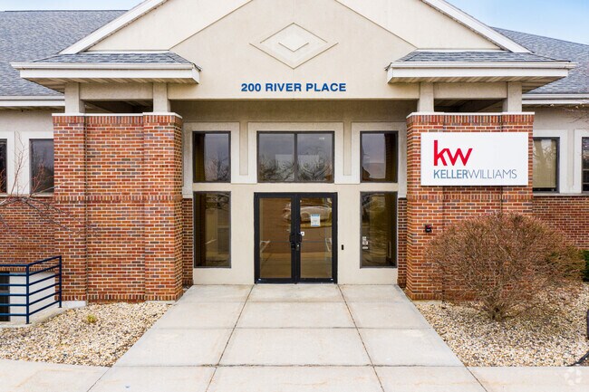
300 River Pl
Madison, WI
Certified Surv Map #7625
0710-291-0039-2
LOT 1 & LOT 2 CSM 7625 CS39/315-317 R28634/4&7-10/14/94 & PRT OF LOTS 4 & 5 RIVE R PLACE DESCR AS SEC 29-7-10 PRT NE1/4NE1/4 BEG AT NE COR OF SD LOT 5 TH S65DEG5 640E 7.86 FT TO NORTHERNMOST COR OF SD LOT 1 CSM 7625 TH S24DEG0320W ALG NWL Y LN OF SD
Commercialnec
Dane
AE
Wisconsin
55025C0437H
39
2024
1.71 AC
2024
Southeast Madison
002900
Milwaukee/Madison
DEMOGRAPHICS near 300 River Pl
1 Mile
3 Mile
5 Mile
2024 Total Population
6,112
37,750
167,189
2029 Population
6,369
39,124
172,637
Pop Growth 2024-2029
+ 4.20%
+ 3.64%
+ 3.26%
Average Age
42
41
36
2024 Total Households
2,964
16,421
74,593
HH Growth 2024-2029
+ 4.32%
+ 3.78%
+ 3.50%
Median Household Inc
$64,424
$79,213
$63,082
Avg Household Size
2.00
2.20
2.00
2024 Avg HH Vehicles
1.00
2.00
1.00
Median Home Value
$286,042
$288,889
$304,858
Median Year Built
1973
1973
1975
Nearby Places
Map Layers
Map Styles
 Street
 Aerial
- Restaurants
- Banks
- Shops
- Fitness
- Groceries
PUBLIC TRANSPORTATION
AIRPORT
Dane County Regional/Truax Field
DRIVE
WALK
Distance
Dane County Regional/Truax Field
16 min
9.4 mi
Freight Ports
Port Milwaukee
DRIVE
WALK
Distance
Port Milwaukee
94 min
80.1 mi
SALE & LEASE HISTORY
LISTING DATE
SALE/LEASE

Sep 25, 2016
For Lease
Jan 30, 2024
For Lease
Nearby Properties
Address
Land Use
TOTAL SIZE
Lot Size
Zoning
Address
Land Use
TOTAL SIZE
Lot Size
Zoning
168,685 SF
14.05 AC
IL
Address
Land Use
TOTAL SIZE
Lot Size
Zoning
13,440 SF
10.98 AC
IL
Address
Land Use
TOTAL SIZE
Lot Size
Zoning
2.03 AC
Address
Land Use
TOTAL SIZE
Lot Size
Zoning
13.40 AC
Address
Land Use
TOTAL SIZE
Lot Size
Zoning
3.59 AC
Address
Land Use
TOTAL SIZE
Lot Size
Zoning
12,450 SF
9.40 AC
SE
Address
Land Use
TOTAL SIZE
Lot Size
Zoning
2.38 AC
Address
Land Use
TOTAL SIZE
Lot Size
Zoning
4,992 SF
4.09 AC
SE
Address
Land Use
TOTAL SIZE
Lot Size
Zoning
19.81 AC
Address
Land Use
TOTAL SIZE
Lot Size
Zoning
149,897 SF
17.72 AC
IL
Address
Land Use
TOTAL SIZE
Lot Size
Zoning
5.53 AC
Address
Land Use
TOTAL SIZE
Lot Size
Zoning
3.49 AC
Address
Land Use
TOTAL SIZE
Lot Size
Zoning
6,868 SF
18.35 AC
IL
Address
Land Use
TOTAL SIZE
Lot Size
Zoning
202,800 SF
13.05 AC
IL
Address
Land Use
TOTAL SIZE
Lot Size
Zoning
94,290 SF
21.31 AC
SR-V2
Address
Land Use
TOTAL SIZE
Lot Size
Zoning
95,909 SF
1 AC
TE
Address
Land Use
TOTAL SIZE
Lot Size
Zoning
86,831 SF
2.73 AC
SE
Address
Land Use
TOTAL SIZE
Lot Size
Zoning
117,606 SF
1.85 AC
TR-U2
Address
Land Use
TOTAL SIZE
Lot Size
Zoning
16.40 AC
IL
Address
Land Use
TOTAL SIZE
Lot Size
Zoning
137,806 SF
1.80 AC
SE
Address
Land Use
TOTAL SIZE
Lot Size
Zoning
280,000 SF
15.01 AC
IL
Address
Land Use
TOTAL SIZE
Lot Size
Zoning
10.45 AC
IL
Address
Land Use
TOTAL SIZE
Lot Size
Zoning
49,562 SF
4.42 AC
SE
Address
Land Use
TOTAL SIZE
Lot Size
Zoning
6,492 SF
1.35 AC
SE
Address
Land Use
TOTAL SIZE
Lot Size
Zoning
17,980 SF
6.25 AC
SR-V2
Address
Land Use
TOTAL SIZE
Lot Size
Zoning
100,161 SF
27.20 AC
SE
Address
Land Use
TOTAL SIZE
Lot Size
Zoning
100,161 SF
27.20 AC
SE
Address
Land Use
TOTAL SIZE
Lot Size
Zoning
73,170 SF
8.71 AC
SR-V2
Address
Land Use
TOTAL SIZE
Lot Size
Zoning
9,030 SF
6.59 AC
SR-V2
Address
Land Use
TOTAL SIZE
Lot Size
Zoning
42,967 SF
5.25 AC
SR-V2
The World's #1 Commercial Real Estate Marketplace
Connect with us
© 2026 CoStar Group
The information above has been obtained from sources believed reliable. While we do not doubt its accuracy we have not verified it and make no guarantee, warranty or representation about it. It is your responsibility to independently confirm its accuracy and completeness. Any projections, opinions, assumptions, or estimates used are for example only and do not represent the current or future performance of the property. The value of this transaction to you depends on tax and other factors which should be evaluated by your tax, financial, and legal advisors. You and your advisors should conduct a careful, independent investigation of the property to determine to your satisfaction the suitability of the property for your needs.