Property Record
100 Rollins Rd, Millbrae, CA 94030


Property Detail
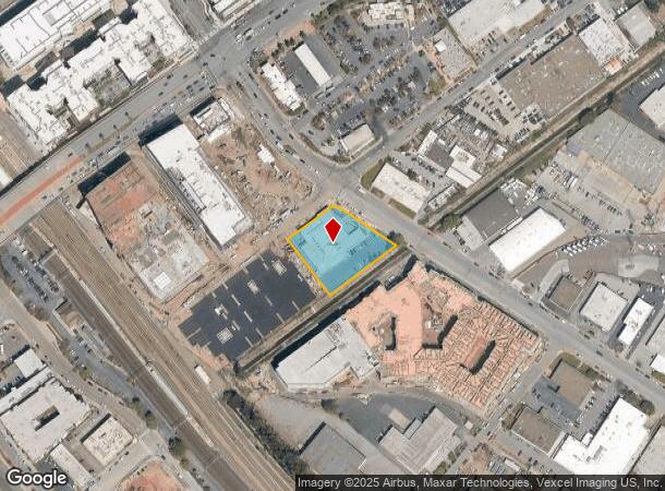
100 Rollins Rd
San Francisco-San Mateo-Redwood City, CA
Millsdale Industrial Park Unit No 2
024-353-090
PTN OF LOT 5 BLOCK 3 MILLSDALE INDUSTRIAL PARK UNIT NO 2 RSM 40/5 6 CITY OF MILLBRAE
Miscellaneous
San Mateo
AE
California
06081C0132F
5
2024
0.92 AC
2025
San Bruno/Millbrae
604400
San Francisco
17,734 SF
NEARBY LISTINGS FOR SALE OR LEASE
DEMOGRAPHICS near 100 Rollins Rd
1 mile
3 mile
5 mile
2024 Total Population
14,347
84,178
189,650
2029 Population
13,682
80,389
180,903
Pop Growth 2024-2029
(4.64%)
(4.50%)
(4.61%)
Average Age
43
42
42
2024 Total Households
5,155
31,311
68,319
HH Growth 2024-2029
(4.95%)
(4.71%)
(4.84%)
Median Household Inc
$133,743
$137,310
$129,342
Avg Household Size
2.60
2.60
2.70
2024 Avg HH Vehicles
2.00
2.00
2.00
Median Home Value
$1,136,012
$1,116,943
$1,106,333
Median Year Built
1958
1958
1961
Nearby Places
Map Layers
Map Styles
 Street
 Aerial
Transit
 Traffic
 Biking
Places
Listings with unknown addresses are not visible on the map
- Restaurants
- Banks
- Shops
- Fitness
- Groceries
PUBLIC TRANSPORTATION
TRANSIT/SUBWAY
Millbrae (Caltrain Transfer Platform) (Antioch to SFIA/Millbrae - Bay Area Rapid Transit (BART), Millbrae/SFIA to Antioch - Bay Area Rapid Transit (BART), Millbrae/SFO to Richmond - Bay Area Rapid Transit (BART), Richmond to SFO/Millbrae - Bay Area Rapid Transit (BART))
Drive
Walk
Distance
Millbrae (Caltrain Transfer Platform) (Antioch to SFIA/Millbrae - Bay Area Rapid Transit (BART), Millbrae/SFIA to Antioch - Bay Area Rapid Transit (BART), Millbrae/SFO to Richmond - Bay Area Rapid Transit (BART), Richmond to SFO/Millbrae - Bay Area Rapid Transit (BART))
2 min
7 min
0.4 mi
COMMUTER RAIL
Millbrae Caltrain Station Southbound (Express - Caltrain (Caltrain), Limited - Caltrain (Caltrain), Local Weekday - Caltrain (Caltrain), Local Weekend - Caltrain (Caltrain))
Drive
Walk
Distance
Millbrae Caltrain Station Southbound (Express - Caltrain (Caltrain), Limited - Caltrain (Caltrain), Local Weekday - Caltrain (Caltrain), Local Weekend - Caltrain (Caltrain))
2 min
8 min
0.4 mi
Broadway Caltrain Station Southbound (Local Weekend - Caltrain (Caltrain))
Drive
Walk
Distance
Broadway Caltrain Station Southbound (Local Weekend - Caltrain (Caltrain))
3 min
1.5 mi
AIRPORT
San Francisco International
Drive
Walk
Distance
San Francisco International
6 min
2.5 mi
Metro Oakland International
Drive
Walk
Distance
Metro Oakland International
38 min
30.2 mi
Norman Y Mineta San Jose International
Drive
Walk
Distance
Norman Y Mineta San Jose International
39 min
31.6 mi
Freight Ports
Port of Redwood City
Drive
Walk
Distance
Port of Redwood City
20 min
14.4 mi
SALE & LEASE HISTORY
LISTING DATE
SALE/LEASE

Apr 13, 2021
For Lease
Nearby Properties
Address
Land Use
TOTAL SIZE
Lot Size
Zoning
Address
Land Use
TOTAL SIZE
Lot Size
Zoning
8.65 AC
Address
Land Use
TOTAL SIZE
Lot Size
Zoning
5.73 AC
Address
Land Use
TOTAL SIZE
Lot Size
Zoning
10,000 SF
0.48 AC
ML00M1
Address
Land Use
TOTAL SIZE
Lot Size
Zoning
277,784 SF
10.85 AC
Address
Land Use
TOTAL SIZE
Lot Size
Zoning
634,000 SF
8.62 AC
M10000
Address
Land Use
TOTAL SIZE
Lot Size
Zoning
5.02 AC
Address
Land Use
TOTAL SIZE
Lot Size
Zoning
19,657 SF
0.69 AC
Address
Land Use
TOTAL SIZE
Lot Size
Zoning
2.83 AC
Address
Land Use
TOTAL SIZE
Lot Size
Zoning
547,306 SF
3.93 AC
Address
Land Use
TOTAL SIZE
Lot Size
Zoning
55,000 SF
1.64 AC
ML00M1
Address
Land Use
TOTAL SIZE
Lot Size
Zoning
403,363 SF
11.26 AC
PD0000
Address
Land Use
TOTAL SIZE
Lot Size
Zoning
85,500 SF
2.20 AC
Address
Land Use
TOTAL SIZE
Lot Size
Zoning
2.57 AC
Address
Land Use
TOTAL SIZE
Lot Size
Zoning
270,980 SF
3.33 AC
Address
Land Use
TOTAL SIZE
Lot Size
Zoning
589,128 SF
11.23 AC
Address
Land Use
TOTAL SIZE
Lot Size
Zoning
1.27 AC
Address
Land Use
TOTAL SIZE
Lot Size
Zoning
426,540 SF
9.36 AC
C40000
Address
Land Use
TOTAL SIZE
Lot Size
Zoning
294,000 SF
6.34 AC
PD0000
Address
Land Use
TOTAL SIZE
Lot Size
Zoning
144,591 SF
6.06 AC
CO0000
Address
Land Use
TOTAL SIZE
Lot Size
Zoning
20.86 AC
Address
Land Use
TOTAL SIZE
Lot Size
Zoning
32,625 SF
1.70 AC
CL00C1
Address
Land Use
TOTAL SIZE
Lot Size
Zoning
220,000 SF
9.80 AC
PD0000
Address
Land Use
TOTAL SIZE
Lot Size
Zoning
40.92 AC
Address
Land Use
TOTAL SIZE
Lot Size
Zoning
1.08 AC
RM00R4
Address
Land Use
TOTAL SIZE
Lot Size
Zoning
220,008 SF
4.64 AC
C40000
Address
Land Use
TOTAL SIZE
Lot Size
Zoning
255,185 SF
13.63 AC
ML0000
Address
Land Use
TOTAL SIZE
Lot Size
Zoning
1.48 AC
Address
Land Use
TOTAL SIZE
Lot Size
Zoning
215,640 SF
7.76 AC
M10000
Address
Land Use
TOTAL SIZE
Lot Size
Zoning
200,068 SF
3.08 AC
Address
Land Use
TOTAL SIZE
Lot Size
Zoning
130,160 SF
1.24 AC
The World's #1 Commercial Real Estate Marketplace
Connect with us
© 2026 CoStar Group
The information above has been obtained from sources believed reliable. While we do not doubt its accuracy we have not verified it and make no guarantee, warranty or representation about it. It is your responsibility to independently confirm its accuracy and completeness. Any projections, opinions, assumptions, or estimates used are for example only and do not represent the current or future performance of the property. The value of this transaction to you depends on tax and other factors which should be evaluated by your tax, financial, and legal advisors. You and your advisors should conduct a careful, independent investigation of the property to determine to your satisfaction the suitability of the property for your needs.