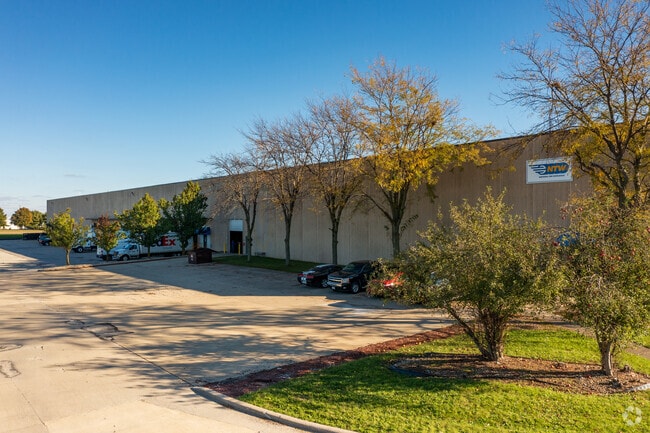
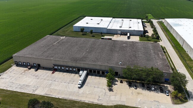
Property Record
100 S Unit Dr, Normal, IL 61761


Property Detail
100 S Unit Dr
Bloomington, IL
LOT 1 DIAMOND STAR CENTRE
13-36-100-014
MCLEAN
Commercialnec
Illinois
B and X Area of moderate flood hazard, usually the area between the limits of the 100-year and 500-year floods.
1
2022
6.88 AC
2024
Bloomington/Normal
000106
Other Market Areas
NEARBY LISTINGS FOR SALE OR LEASE
-
-
View all Normal listings for lease on LoopNet.com
DEMOGRAPHICS near 100 S Unit Dr
1 mile
3 mile
5 mile
2025 Total Population
62
16,317
85,384
2030 Population
61
16,251
85,890
Pop Growth 2025-2030
(1.61%)
(0.40%)
+ 0.59%
Average Age
46
37
36
2025 Total Households
25
6,743
34,447
HH Growth 2025-2030
(4.00%)
(0.37%)
+ 0.63%
Median Household Inc
$116,666
$68,519
$59,024
Avg Household Size
2.50
2.20
2.20
2025 Avg HH Vehicles
2.00
2.00
2.00
Median Home Value
$253,571
$184,655
$181,952
Median Year Built
1975
1979
1976
Nearby Places
Map Layers
Map Styles
 Street
 Aerial
Layers
 Traffic
 Biking
Places
Listings with unknown addresses are not visible on the map
- Restaurants
- Banks
- Shops
- Fitness
- Groceries
PUBLIC TRANSPORTATION
COMMUTER RAIL
Bloomington-Normal (Lincoln Service - Amtrak, Lincoln Service Missouri River Runner - Amtrak, Texas Eagle - Amtrak)
Drive
Walk
Distance
Bloomington-Normal (Lincoln Service - Amtrak, Lincoln Service Missouri River Runner - Amtrak, Texas Eagle - Amtrak)
8 min
4.3 mi
AIRPORT
Central Il Regional/Bloomington-Normal
Drive
Walk
Distance
Central Il Regional/Bloomington-Normal
22 min
9.8 mi
Freight Ports
Port Milwaukee
Drive
Walk
Distance
Port Milwaukee
246 min
211.4 mi
SALE & LEASE HISTORY
LISTING DATE
SALE/LEASE

Sep 25, 2016
For Lease
Jul 17, 2019
For Lease
Aug 21, 2024
For Lease
Nearby Properties
Address
Land Use
TOTAL SIZE
Lot Size
Zoning
Address
Land Use
TOTAL SIZE
Lot Size
Zoning
417.42 AC
Address
Land Use
TOTAL SIZE
Lot Size
Zoning
48,629 SF
39 AC
Address
Land Use
TOTAL SIZE
Lot Size
Zoning
432,093 SF
15 AC
Address
Land Use
TOTAL SIZE
Lot Size
Zoning
10.13 AC
R2
Address
Land Use
TOTAL SIZE
Lot Size
Zoning
422,234 SF
23.17 AC
Address
Land Use
TOTAL SIZE
Lot Size
Zoning
309,750 SF
9.85 AC
R-3A
Address
Land Use
TOTAL SIZE
Lot Size
Zoning
351,360 SF
8.40 AC
R-3A
Address
Land Use
TOTAL SIZE
Lot Size
Zoning
34,720 SF
6.14 AC
R3A
Address
Land Use
TOTAL SIZE
Lot Size
Zoning
126,428 SF
3.79 AC
Address
Land Use
TOTAL SIZE
Lot Size
Zoning
196,500 SF
5.07 AC
Address
Land Use
TOTAL SIZE
Lot Size
Zoning
335,377 SF
9.78 AC
Address
Land Use
TOTAL SIZE
Lot Size
Zoning
128,182 SF
10.65 AC
Address
Land Use
TOTAL SIZE
Lot Size
Zoning
181,476 SF
6.70 AC
Address
Land Use
TOTAL SIZE
Lot Size
Zoning
5,569 SF
9.94 AC
Address
Land Use
TOTAL SIZE
Lot Size
Zoning
190,476 SF
14.43 AC
M-1
Address
Land Use
TOTAL SIZE
Lot Size
Zoning
51,603 SF
2.99 AC
R-3A
Address
Land Use
TOTAL SIZE
Lot Size
Zoning
98,824 SF
10.13 AC
Address
Land Use
TOTAL SIZE
Lot Size
Zoning
97,000 SF
7 AC
M-2
Address
Land Use
TOTAL SIZE
Lot Size
Zoning
96,797 SF
6.30 AC
R-3A
Address
Land Use
TOTAL SIZE
Lot Size
Zoning
9,433 SF
5.92 AC
Address
Land Use
TOTAL SIZE
Lot Size
Zoning
198,016 SF
15.92 AC
Address
Land Use
TOTAL SIZE
Lot Size
Zoning
159,906 SF
8.09 AC
Address
Land Use
TOTAL SIZE
Lot Size
Zoning
135,176 SF
4.77 AC
R-3A
Address
Land Use
TOTAL SIZE
Lot Size
Zoning
58,308 SF
8.66 AC
Address
Land Use
TOTAL SIZE
Lot Size
Zoning
8.11 AC
Address
Land Use
TOTAL SIZE
Lot Size
Zoning
197,633 SF
11.91 AC
M-1
Address
Land Use
TOTAL SIZE
Lot Size
Zoning
44,650 SF
4.44 AC
R-3A
Address
Land Use
TOTAL SIZE
Lot Size
Zoning
35.38 AC
Address
Land Use
TOTAL SIZE
Lot Size
Zoning
58,904 SF
2.17 AC
The World's #1 Commercial Real Estate Marketplace
Connect with us
© 2026 CoStar Group
The information above has been obtained from sources believed reliable. While we do not doubt its accuracy we have not verified it and make no guarantee, warranty or representation about it. It is your responsibility to independently confirm its accuracy and completeness. Any projections, opinions, assumptions, or estimates used are for example only and do not represent the current or future performance of the property. The value of this transaction to you depends on tax and other factors which should be evaluated by your tax, financial, and legal advisors. You and your advisors should conduct a careful, independent investigation of the property to determine to your satisfaction the suitability of the property for your needs.