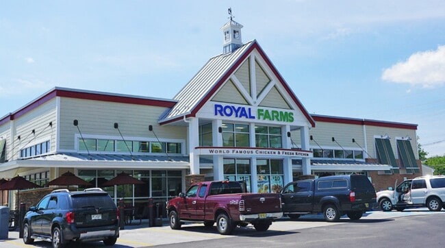
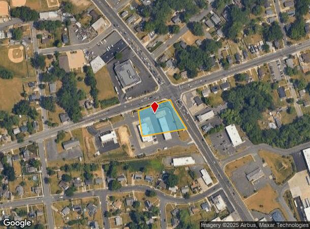
Property Record
100 S Whp Ave, Magnolia, NJ 08049
NEARBY LISTINGS FOR SALE OR LEASE
Property Detail
100 S Whp Ave
23-00003-01-00002
FACILITY NAME: CHURCH
Commercialnec
Camden
X
New Jersey
34007C0107E
2
2024
2.03 AC
2025
South Camden County
607300
Philadelphia
5,364 SF
Philadelphia-Camden-Wilmington, PA-NJ-DE-MD
DEMOGRAPHICS near 100 S Whp Ave
1 Mile
3 Mile
5 Mile
2024 Total Population
11,134
99,352
269,806
2029 Population
11,141
99,031
269,052
Pop Growth 2024-2029
+ 0.06%
(0.32%)
(0.28%)
Average Age
41
41
41
2024 Total Households
4,400
39,347
108,835
HH Growth 2024-2029
+ 0.05%
(0.35%)
(0.29%)
Median Household Inc
$80,056
$94,166
$88,447
Avg Household Size
2.50
2.50
2.40
2024 Avg HH Vehicles
2.00
2.00
2.00
Median Home Value
$208,604
$256,335
$268,116
Median Year Built
1963
1964
1966
Nearby Places
Map Layers
Map Styles
 Street
 Aerial
- Restaurants
- Banks
- Shops
- Fitness
- Groceries
PUBLIC TRANSPORTATION
COMMUTER RAIL
Lindenwold (Njt) (Atlantic City Line - NJ Transit Commuter Rail (NJ Transit))
DRIVE
WALK
Distance
Lindenwold (Njt) (Atlantic City Line - NJ Transit Commuter Rail (NJ Transit))
4 min
2.6 mi
Cherry Hill (Atlantic City Line - NJ Transit Commuter Rail (NJ Transit))
DRIVE
WALK
Distance
Cherry Hill (Atlantic City Line - NJ Transit Commuter Rail (NJ Transit))
11 min
6.7 mi
AIRPORT
Philadelphia International
DRIVE
WALK
Distance
Philadelphia International
28 min
16.8 mi
Freight Ports
Broadway Terminal - Pier 5
DRIVE
WALK
Distance
Broadway Terminal - Pier 5
12 min
8.2 mi
Nearby Properties
Address
Land Use
TOTAL SIZE
Lot Size
Zoning
Address
Land Use
TOTAL SIZE
Lot Size
Zoning
Address
Land Use
TOTAL SIZE
Lot Size
Zoning
18.79 AC
Address
Land Use
TOTAL SIZE
Lot Size
Zoning
Address
Land Use
TOTAL SIZE
Lot Size
Zoning
46,360 SF
8.07 AC
Address
Land Use
TOTAL SIZE
Lot Size
Zoning
232,026 SF
24.41 AC
B
Address
Land Use
TOTAL SIZE
Lot Size
Zoning
168,264 SF
30.98 AC
TC
Address
Land Use
TOTAL SIZE
Lot Size
Zoning
258,896 SF
11.25 AC
TC
Address
Land Use
TOTAL SIZE
Lot Size
Zoning
4,177 SF
32.42 AC
SH
Address
Land Use
TOTAL SIZE
Lot Size
Zoning
244,640 SF
11.04 AC
TC
Address
Land Use
TOTAL SIZE
Lot Size
Zoning
414,080 SF
15.75 AC
TC
Address
Land Use
TOTAL SIZE
Lot Size
Zoning
Address
Land Use
TOTAL SIZE
Lot Size
Zoning
34.62 AC
Address
Land Use
TOTAL SIZE
Lot Size
Zoning
147,136 SF
9.55 AC
TC
Address
Land Use
TOTAL SIZE
Lot Size
Zoning
185,936 SF
11.30 AC
TC
Address
Land Use
TOTAL SIZE
Lot Size
Zoning
40,116 SF
2.84 AC
TC
Address
Land Use
TOTAL SIZE
Lot Size
Zoning
Address
Land Use
TOTAL SIZE
Lot Size
Zoning
Address
Land Use
TOTAL SIZE
Lot Size
Zoning
332,344 SF
11.99 AC
R10
Address
Land Use
TOTAL SIZE
Lot Size
Zoning
8.18 AC
Address
Land Use
TOTAL SIZE
Lot Size
Zoning
41.09 AC
Address
Land Use
TOTAL SIZE
Lot Size
Zoning
33.62 AC
Address
Land Use
TOTAL SIZE
Lot Size
Zoning
9.14 AC
Address
Land Use
TOTAL SIZE
Lot Size
Zoning
128,662 SF
15.87 AC
TC-1
Address
Land Use
TOTAL SIZE
Lot Size
Zoning
Address
Land Use
TOTAL SIZE
Lot Size
Zoning
222,056 SF
25.98 AC
O3
Address
Land Use
TOTAL SIZE
Lot Size
Zoning
126,080 SF
TC-1
Address
Land Use
TOTAL SIZE
Lot Size
Zoning
3.50 AC
Address
Land Use
TOTAL SIZE
Lot Size
Zoning
167.08 AC
ROC
Address
Land Use
TOTAL SIZE
Lot Size
Zoning
5.29 AC
Address
Land Use
TOTAL SIZE
Lot Size
Zoning
17.27 AC
The World's #1 Commercial Real Estate Marketplace
Connect with us
© 2025 CoStar Group
The information above has been obtained from sources believed reliable. While we do not doubt its accuracy we have not verified it and make no guarantee, warranty or representation about it. It is your responsibility to independently confirm its accuracy and completeness. Any projections, opinions, assumptions, or estimates used are for example only and do not represent the current or future performance of the property. The value of this transaction to you depends on tax and other factors which should be evaluated by your tax, financial, and legal advisors. You and your advisors should conduct a careful, independent investigation of the property to determine to your satisfaction the suitability of the property for your needs.