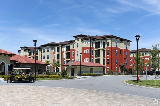
Property Record
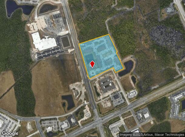
100 Sands Parc Blvd, Daytona Beach, FL 32117
NEARBY LISTINGS FOR SALE OR LEASE
Property Detail
100 Sands Parc Blvd
Deltona-Daytona Beach-Ormond Beach, FL
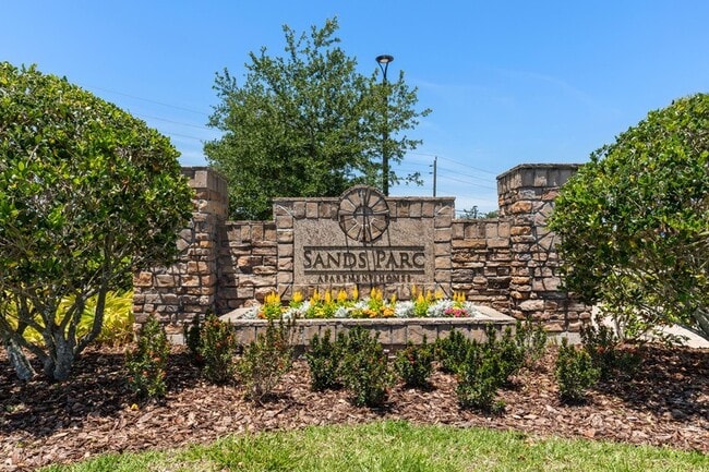
Integra Sands Mb
5203-09-00-0010
03 15 32 LOT 1 INTEGRA SANDS MB 57 PGS 172-173 PER OR 7553 PG 491
Multifamilydwelling
Volusia
AE
Florida
12127C0352H
1
2025
14 AC
2026
Greater Daytona
080808
Deltona/Daytona Beach
295,384 SF
DEMOGRAPHICS near 100 Sands Parc Blvd
1 Mile
3 Mile
5 Mile
2024 Total Population
4,240
54,254
122,180
2029 Population
4,894
61,376
137,261
Pop Growth 2024-2029
+ 15.42%
+ 13.13%
+ 12.34%
Average Age
44
44
43
2024 Total Households
2,035
23,635
52,445
HH Growth 2024-2029
+ 16.12%
+ 13.48%
+ 12.89%
Median Household Inc
$56,309
$52,532
$50,759
Avg Household Size
2.00
2.20
2.10
2024 Avg HH Vehicles
2.00
2.00
2.00
Median Home Value
$196,363
$203,886
$228,831
Median Year Built
2001
1988
1981
Nearby Places
Map Layers
Map Styles
 Street
 Aerial
- Restaurants
- Banks
- Shops
- Fitness
- Groceries
PUBLIC TRANSPORTATION
AIRPORT
Daytona Beach International
DRIVE
WALK
Distance
Daytona Beach International
14 min
7.2 mi
Freight Ports
Port Canaveral
DRIVE
WALK
Distance
Port Canaveral
86 min
74.4 mi
Nearby Properties
Address
Land Use
TOTAL SIZE
Lot Size
Zoning
Address
Land Use
TOTAL SIZE
Lot Size
Zoning
849,735 SF
140.62 AC
01A2
Address
Land Use
TOTAL SIZE
Lot Size
Zoning
1,058,116 SF
54.22 AC
Address
Land Use
TOTAL SIZE
Lot Size
Zoning
663,508 SF
73.48 AC
Address
Land Use
TOTAL SIZE
Lot Size
Zoning
451,526 SF
17.96 AC
Address
Land Use
TOTAL SIZE
Lot Size
Zoning
293,850 SF
29.38 AC
Address
Land Use
TOTAL SIZE
Lot Size
Zoning
400,964 SF
38.93 AC
Address
Land Use
TOTAL SIZE
Lot Size
Zoning
12,394 SF
139.59 AC
Address
Land Use
TOTAL SIZE
Lot Size
Zoning
135,122 SF
78 AC
Address
Land Use
TOTAL SIZE
Lot Size
Zoning
318,230 SF
21.28 AC
Address
Land Use
TOTAL SIZE
Lot Size
Zoning
470,843 SF
1.78 AC
RC
Address
Land Use
TOTAL SIZE
Lot Size
Zoning
10,637 SF
0.15 AC
R2
Address
Land Use
TOTAL SIZE
Lot Size
Zoning
356,386 SF
0.75 AC
Address
Land Use
TOTAL SIZE
Lot Size
Zoning
375,572 SF
0.13 AC
R2
Address
Land Use
TOTAL SIZE
Lot Size
Zoning
409,718 SF
12.86 AC
Address
Land Use
TOTAL SIZE
Lot Size
Zoning
434,487 SF
20.54 AC
Address
Land Use
TOTAL SIZE
Lot Size
Zoning
422,146 SF
32.67 AC
Address
Land Use
TOTAL SIZE
Lot Size
Zoning
359,180 SF
29.73 AC
01A2
Address
Land Use
TOTAL SIZE
Lot Size
Zoning
303,151 SF
13.58 AC
Address
Land Use
TOTAL SIZE
Lot Size
Zoning
535,856 SF
46.85 AC
Address
Land Use
TOTAL SIZE
Lot Size
Zoning
333,708 SF
0.24 AC
01A2
Address
Land Use
TOTAL SIZE
Lot Size
Zoning
417,015 SF
27.55 AC
Address
Land Use
TOTAL SIZE
Lot Size
Zoning
425,548 SF
10.16 AC
Address
Land Use
TOTAL SIZE
Lot Size
Zoning
259,175 SF
23.45 AC
Address
Land Use
TOTAL SIZE
Lot Size
Zoning
318,707 SF
12.16 AC
Address
Land Use
TOTAL SIZE
Lot Size
Zoning
560,165 SF
37.79 AC
02BR2
Address
Land Use
TOTAL SIZE
Lot Size
Zoning
208,825 SF
30.30 AC
02BA
Address
Land Use
TOTAL SIZE
Lot Size
Zoning
158,299 SF
22 AC
Address
Land Use
TOTAL SIZE
Lot Size
Zoning
280,265 SF
11.95 AC
Address
Land Use
TOTAL SIZE
Lot Size
Zoning
153,293 SF
10.95 AC
The World's #1 Commercial Real Estate Marketplace
Connect with us
© 2026 CoStar Group
The information above has been obtained from sources believed reliable. While we do not doubt its accuracy we have not verified it and make no guarantee, warranty or representation about it. It is your responsibility to independently confirm its accuracy and completeness. Any projections, opinions, assumptions, or estimates used are for example only and do not represent the current or future performance of the property. The value of this transaction to you depends on tax and other factors which should be evaluated by your tax, financial, and legal advisors. You and your advisors should conduct a careful, independent investigation of the property to determine to your satisfaction the suitability of the property for your needs.