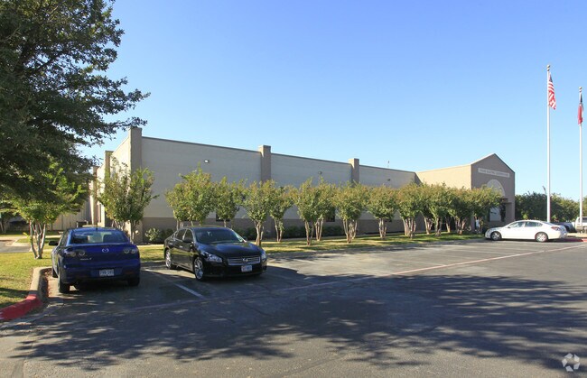
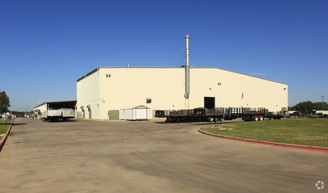
Property Record
100 W Cooperative Way, Georgetown, TX 78626

Property Detail
100 W Cooperative Way
Austin-Round Rock-San Marcos, TX
S6716 - INNER LOOP COMMERCIAL PARK SEC 3, BLOCK A, LOT 1(PT), ACRES 15.777
R371913
Williamson
Industrialgeneral
Texas
B and X Area of moderate flood hazard, usually the area between the limits of the 100-year and 500-year floods.
1
2024
15.78 AC
2025
Georgetown
021406
Austin
133,326 SF
NEARBY LISTINGS FOR SALE OR LEASE
-
-
View all Georgetown listings for sale on LoopNet.com
DEMOGRAPHICS near 100 W Cooperative Way
1 mile
3 mile
5 mile
2025 Total Population
4,001
54,923
116,941
2030 Population
4,618
64,009
136,004
Pop Growth 2025-2030
+ 15.42%
+ 16.54%
+ 16.30%
Average Age
40
38
38
2025 Total Households
1,610
20,869
44,628
HH Growth 2025-2030
+ 15.84%
+ 17.28%
+ 16.87%
Median Household Inc
$66,236
$108,617
$103,262
Avg Household Size
2.40
2.50
2.50
2025 Avg HH Vehicles
2.00
2.00
2.00
Median Home Value
$388,185
$458,316
$449,540
Median Year Built
1992
2010
2010
Nearby Places
Map Layers
Map Styles
 Street
 Aerial
Transit
 Traffic
 Biking
Places
Listings with unknown addresses are not visible on the map
- Restaurants
- Banks
- Shops
- Fitness
- Groceries
PUBLIC TRANSPORTATION
AIRPORT
Austin-Bergstrom International
Drive
Walk
Distance
Austin-Bergstrom International
48 min
35.6 mi
Freight Ports
Calhoun Port
Drive
Walk
Distance
Calhoun Port
212 min
184.3 mi
Nearby Properties
Address
Land Use
TOTAL SIZE
Lot Size
Zoning
Address
Land Use
TOTAL SIZE
Lot Size
Zoning
71.65 AC
1-RS
Address
Land Use
TOTAL SIZE
Lot Size
Zoning
145,000 SF
147.12 AC
Address
Land Use
TOTAL SIZE
Lot Size
Zoning
334,021 SF
50.48 AC
3-OF
Address
Land Use
TOTAL SIZE
Lot Size
Zoning
413,418 SF
50.48 AC
3-C-3
Address
Land Use
TOTAL SIZE
Lot Size
Zoning
431,200 SF
53.60 AC
3-C-3
Address
Land Use
TOTAL SIZE
Lot Size
Zoning
354,066 SF
40.51 AC
Address
Land Use
TOTAL SIZE
Lot Size
Zoning
467,100 SF
35.12 AC
Address
Land Use
TOTAL SIZE
Lot Size
Zoning
374,225 SF
11.58 AC
Address
Land Use
TOTAL SIZE
Lot Size
Zoning
393,202 SF
15.42 AC
Address
Land Use
TOTAL SIZE
Lot Size
Zoning
331,518 SF
21.88 AC
Address
Land Use
TOTAL SIZE
Lot Size
Zoning
495,688 SF
20.31 AC
1-MF
Address
Land Use
TOTAL SIZE
Lot Size
Zoning
325,550 SF
15.42 AC
Address
Land Use
TOTAL SIZE
Lot Size
Zoning
344,529 SF
14.07 AC
Address
Land Use
TOTAL SIZE
Lot Size
Zoning
379,701 SF
18.43 AC
Address
Land Use
TOTAL SIZE
Lot Size
Zoning
450,880 SF
54.28 AC
Address
Land Use
TOTAL SIZE
Lot Size
Zoning
272,531 SF
14.97 AC
Address
Land Use
TOTAL SIZE
Lot Size
Zoning
297,937 SF
14.44 AC
Address
Land Use
TOTAL SIZE
Lot Size
Zoning
307,473 SF
14.16 AC
Address
Land Use
TOTAL SIZE
Lot Size
Zoning
155,800 SF
107.09 AC
LI
Address
Land Use
TOTAL SIZE
Lot Size
Zoning
282,472 SF
11.79 AC
Address
Land Use
TOTAL SIZE
Lot Size
Zoning
294,214 SF
18.34 AC
Address
Land Use
TOTAL SIZE
Lot Size
Zoning
213,599 SF
5.01 AC
Address
Land Use
TOTAL SIZE
Lot Size
Zoning
268,556 SF
19.67 AC
Address
Land Use
TOTAL SIZE
Lot Size
Zoning
316,931 SF
3.02 AC
Address
Land Use
TOTAL SIZE
Lot Size
Zoning
222,474 SF
9.66 AC
Address
Land Use
TOTAL SIZE
Lot Size
Zoning
241,804 SF
17.57 AC
3-C-3
Address
Land Use
TOTAL SIZE
Lot Size
Zoning
238,704 SF
19.85 AC
Address
Land Use
TOTAL SIZE
Lot Size
Zoning
209,730 SF
13.01 AC
Address
Land Use
TOTAL SIZE
Lot Size
Zoning
205,554 SF
12.13 AC
3-C-3
Address
Land Use
TOTAL SIZE
Lot Size
Zoning
288,312 SF
11.51 AC
The World's #1 Commercial Real Estate Marketplace
Connect with us
© 2026 CoStar Group
The information above has been obtained from sources believed reliable. While we do not doubt its accuracy we have not verified it and make no guarantee, warranty or representation about it. It is your responsibility to independently confirm its accuracy and completeness. Any projections, opinions, assumptions, or estimates used are for example only and do not represent the current or future performance of the property. The value of this transaction to you depends on tax and other factors which should be evaluated by your tax, financial, and legal advisors. You and your advisors should conduct a careful, independent investigation of the property to determine to your satisfaction the suitability of the property for your needs.