Property Record
100 Winter Rd, Santa Maria, CA 93455


Property Detail
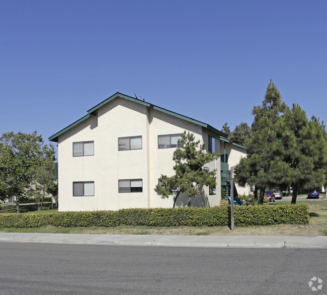
100 Winter Rd
Santa Maria-Santa Barbara, CA
TWP 10N RGE 34W SEC 35 QTR N4NW4
109-110-005
SANTA BARBARA
Apartment
California
DR123
1
B and X Area of moderate flood hazard, usually the area between the limits of the 100-year and 500-year floods.
3.86 AC
2024
Santa Maria
2025
Santa Barbara/Sta Maria/Goleta
002008
NEARBY LISTINGS FOR SALE OR LEASE
-
-
View all Santa Maria listings for sale on LoopNet.com
DEMOGRAPHICS near 100 Winter Rd
1 mile
3 mile
5 mile
2025 Total Population
9,726
67,515
129,585
2030 Population
9,731
68,038
129,418
Pop Growth 2025-2030
+ 0.05%
+ 0.77%
(0.13%)
Average Age
41
37
36
2025 Total Households
3,501
21,603
37,514
HH Growth 2025-2030
(0.03%)
+ 0.63%
(0.14%)
Median Household Inc
$108,836
$95,314
$85,692
Avg Household Size
2.70
3.00
3.30
2025 Avg HH Vehicles
2.00
2.00
2.00
Median Home Value
$595,153
$645,144
$619,529
Median Year Built
1982
1985
1979
Nearby Places
Map Layers
Map Styles
 Street
 Aerial
Layers
 Traffic
 Biking
Places
Listings with unknown addresses are not visible on the map
- Restaurants
- Banks
- Shops
- Fitness
- Groceries
PUBLIC TRANSPORTATION
AIRPORT
San Luis County Regional
Drive
Walk
Distance
San Luis County Regional
43 min
30.0 mi
Freight Ports
The Port of Hueneme
Drive
Walk
Distance
The Port of Hueneme
132 min
99.0 mi
Nearby Properties
Address
Land Use
TOTAL SIZE
Lot Size
Zoning
Address
Land Use
TOTAL SIZE
Lot Size
Zoning
Address
Land Use
TOTAL SIZE
Lot Size
Zoning
49.99 AC
Address
Land Use
TOTAL SIZE
Lot Size
Zoning
14.45 AC
Address
Land Use
TOTAL SIZE
Lot Size
Zoning
6.35 AC
Address
Land Use
TOTAL SIZE
Lot Size
Zoning
9.46 AC
Address
Land Use
TOTAL SIZE
Lot Size
Zoning
18.19 AC
Address
Land Use
TOTAL SIZE
Lot Size
Zoning
Address
Land Use
TOTAL SIZE
Lot Size
Zoning
17.71 AC
Address
Land Use
TOTAL SIZE
Lot Size
Zoning
4.05 AC
Address
Land Use
TOTAL SIZE
Lot Size
Zoning
Address
Land Use
TOTAL SIZE
Lot Size
Zoning
21.09 AC
Address
Land Use
TOTAL SIZE
Lot Size
Zoning
10.75 AC
Address
Land Use
TOTAL SIZE
Lot Size
Zoning
6.36 AC
Address
Land Use
TOTAL SIZE
Lot Size
Zoning
10.81 AC
Address
Land Use
TOTAL SIZE
Lot Size
Zoning
6.17 AC
Address
Land Use
TOTAL SIZE
Lot Size
Zoning
5.80 AC
DR20
Address
Land Use
TOTAL SIZE
Lot Size
Zoning
13.76 AC
Address
Land Use
TOTAL SIZE
Lot Size
Zoning
Address
Land Use
TOTAL SIZE
Lot Size
Zoning
Address
Land Use
TOTAL SIZE
Lot Size
Zoning
35.87 AC
AGII40
Address
Land Use
TOTAL SIZE
Lot Size
Zoning
Address
Land Use
TOTAL SIZE
Lot Size
Zoning
71,487 SF
4.41 AC
DR123
Address
Land Use
TOTAL SIZE
Lot Size
Zoning
2.81 AC
Address
Land Use
TOTAL SIZE
Lot Size
Zoning
Address
Land Use
TOTAL SIZE
Lot Size
Zoning
11.13 AC
Address
Land Use
TOTAL SIZE
Lot Size
Zoning
3.99 AC
Address
Land Use
TOTAL SIZE
Lot Size
Zoning
Address
Land Use
TOTAL SIZE
Lot Size
Zoning
Address
Land Use
TOTAL SIZE
Lot Size
Zoning
The World's #1 Commercial Real Estate Marketplace
Connect with us
© 2026 CoStar Group
The information above has been obtained from sources believed reliable. While we do not doubt its accuracy we have not verified it and make no guarantee, warranty or representation about it. It is your responsibility to independently confirm its accuracy and completeness. Any projections, opinions, assumptions, or estimates used are for example only and do not represent the current or future performance of the property. The value of this transaction to you depends on tax and other factors which should be evaluated by your tax, financial, and legal advisors. You and your advisors should conduct a careful, independent investigation of the property to determine to your satisfaction the suitability of the property for your needs.