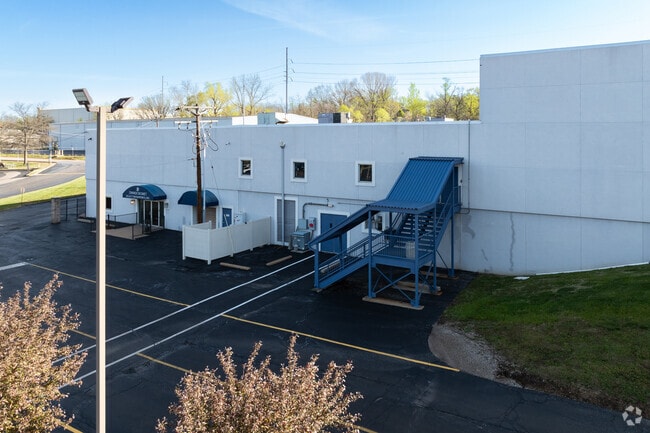
Property Record
1000 Camera Ave, Saint Louis, MO 63126

Current Lease Availabilities
Property Detail
1000 Camera Ave
24M-32-1198
OAK RIDGE PARK BLKS 28-32 LT 27-29 PT 25-26 LT 12-29 PT 9-11-30-33 LT 7-46 PT 3-6-47-49 LT 3-32 1-2-33-35 LT 7-13 PT 4-6-14-17 SUR 1936-44-6 ETAL BDY ADJ TRACT PT 1
Warehouse
ST. LOUIS
C
Missouri
B and X Area of moderate flood hazard, usually the area between the limits of the 100-year and 500-year floods.
2-32
2024
3.26 AC
2025
South County
221000
St. Louis
44,400 SF
St. Louis, MO-IL
NEARBY LISTINGS FOR SALE OR LEASE
DEMOGRAPHICS near 1000 Camera Ave
1 mile
3 mile
5 mile
2025 Total Population
8,758
83,799
196,709
2030 Population
8,666
82,670
193,705
Pop Growth 2025-2030
(1.05%)
(1.35%)
(1.53%)
Average Age
42
42
43
2025 Total Households
3,645
34,377
83,671
HH Growth 2025-2030
(1.12%)
(1.43%)
(1.64%)
Median Household Inc
$96,039
$114,115
$100,650
Avg Household Size
2.30
2.40
2.30
2025 Avg HH Vehicles
2.00
2.00
2.00
Median Home Value
$273,948
$395,019
$347,659
Median Year Built
1958
1959
1961
Nearby Places
Map Layers
Map Styles
 Street
 Aerial
Transit
 Traffic
 Biking
Places
Listings with unknown addresses are not visible on the map
- Restaurants
- Banks
- Shops
- Fitness
- Groceries
PUBLIC TRANSPORTATION
COMMUTER RAIL
Kirkwood Amtrak Station (Lincoln Service Missouri River Runner - Amtrak, Missouri River Runner - Amtrak)
Drive
Walk
Distance
Kirkwood Amtrak Station (Lincoln Service Missouri River Runner - Amtrak, Missouri River Runner - Amtrak)
5 min
2.0 mi
Shrewsbury-Lansdowne (Shrewsbury-Lansdowne I-44 Emerson Park - St. Louis MetroLink (MetroLink))
Drive
Walk
Distance
Shrewsbury-Lansdowne (Shrewsbury-Lansdowne I-44 Emerson Park - St. Louis MetroLink (MetroLink))
8 min
4.9 mi
AIRPORT
St Louis Lambert International
Drive
Walk
Distance
St Louis Lambert International
25 min
16.1 mi
Freight Ports
Tulsa Port of Inola
Drive
Walk
Distance
Tulsa Port of Inola
408 min
372.0 mi
Nearby Properties
Address
Land Use
TOTAL SIZE
Lot Size
Zoning
Address
Land Use
TOTAL SIZE
Lot Size
Zoning
31,582 SF
77.77 AC
32R3
Address
Land Use
TOTAL SIZE
Lot Size
Zoning
476,802 SF
20.71 AC
32R3
Address
Land Use
TOTAL SIZE
Lot Size
Zoning
33.71 AC
R3
Address
Land Use
TOTAL SIZE
Lot Size
Zoning
844,350 SF
63.08 AC
64A1
Address
Land Use
TOTAL SIZE
Lot Size
Zoning
43.43 AC
R3
Address
Land Use
TOTAL SIZE
Lot Size
Zoning
289,641 SF
24.38 AC
101PD-BC
Address
Land Use
TOTAL SIZE
Lot Size
Zoning
Address
Land Use
TOTAL SIZE
Lot Size
Zoning
389,475 SF
27.55 AC
D
Address
Land Use
TOTAL SIZE
Lot Size
Zoning
474,239 SF
34.85 AC
R4
Address
Land Use
TOTAL SIZE
Lot Size
Zoning
255,646 SF
19.76 AC
32B5
Address
Land Use
TOTAL SIZE
Lot Size
Zoning
142,232 SF
28.76 AC
NU
Address
Land Use
TOTAL SIZE
Lot Size
Zoning
198,556 SF
10.12 AC
A
Address
Land Use
TOTAL SIZE
Lot Size
Zoning
5,040 SF
53.51 AC
101R-1
Address
Land Use
TOTAL SIZE
Lot Size
Zoning
158,767 SF
17.01 AC
64A3
Address
Land Use
TOTAL SIZE
Lot Size
Zoning
3,024 SF
4.73 AC
64A3
Address
Land Use
TOTAL SIZE
Lot Size
Zoning
3,578 SF
24.57 AC
R3
Address
Land Use
TOTAL SIZE
Lot Size
Zoning
8,981 SF
10.81 AC
64A3
Address
Land Use
TOTAL SIZE
Lot Size
Zoning
396 SF
8.57 AC
69M-1
Address
Land Use
TOTAL SIZE
Lot Size
Zoning
27,679 SF
2.56 AC
32B2
Address
Land Use
TOTAL SIZE
Lot Size
Zoning
375,783 SF
15.42 AC
37MULTI
Address
Land Use
TOTAL SIZE
Lot Size
Zoning
114,244 SF
5.74 AC
101PD-BC
Address
Land Use
TOTAL SIZE
Lot Size
Zoning
1,512 SF
23.22 AC
41SP
Address
Land Use
TOTAL SIZE
Lot Size
Zoning
6.93 AC
101R-2
Address
Land Use
TOTAL SIZE
Lot Size
Zoning
90,223 SF
8.51 AC
PD3-C
Address
Land Use
TOTAL SIZE
Lot Size
Zoning
132,860 SF
4.91 AC
32B5
Address
Land Use
TOTAL SIZE
Lot Size
Zoning
65,702 SF
12.33 AC
21HP-1
Address
Land Use
TOTAL SIZE
Lot Size
Zoning
22.67 AC
PCD
Address
Land Use
TOTAL SIZE
Lot Size
Zoning
262,264 SF
16.27 AC
R6
Address
Land Use
TOTAL SIZE
Lot Size
Zoning
96,990 SF
4.52 AC
32R4
Address
Land Use
TOTAL SIZE
Lot Size
Zoning
17.92 AC
64A4
The World's #1 Commercial Real Estate Marketplace
Connect with us
© 2026 CoStar Group
The information above has been obtained from sources believed reliable. While we do not doubt its accuracy we have not verified it and make no guarantee, warranty or representation about it. It is your responsibility to independently confirm its accuracy and completeness. Any projections, opinions, assumptions, or estimates used are for example only and do not represent the current or future performance of the property. The value of this transaction to you depends on tax and other factors which should be evaluated by your tax, financial, and legal advisors. You and your advisors should conduct a careful, independent investigation of the property to determine to your satisfaction the suitability of the property for your needs.