Property Record
1000 Pilot Rd, Fernley, NV 89408
NEARBY LISTINGS FOR SALE OR LEASE
Property Detail
1000 Pilot Rd
021-061-32
Lyon
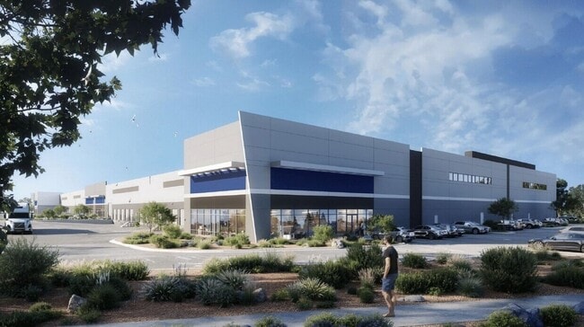
Industrialacreage
Nevada
X
27.83 AC
32031C3135G
Lyon County
2026
Reno/Sparks
2025
Reno, NV
960107
DEMOGRAPHICS near 1000 Pilot Rd
1 Mile
3 Mile
5 Mile
2024 Total Population
727
12,440
20,823
2029 Population
804
13,640
22,894
Pop Growth 2024-2029
+ 10.59%
+ 9.65%
+ 9.95%
Average Age
41
39
38
2024 Total Households
275
4,648
7,463
HH Growth 2024-2029
+ 10.55%
+ 9.70%
+ 9.94%
Median Household Inc
$69,856
$79,790
$81,823
Avg Household Size
2.60
2.70
2.80
2024 Avg HH Vehicles
2.00
2.00
2.00
Median Home Value
$323,256
$276,793
$320,429
Median Year Built
1988
1995
2000
Nearby Places
Map Layers
Map Styles
 Street
 Aerial
- Restaurants
- Banks
- Shops
- Fitness
- Groceries
PUBLIC TRANSPORTATION
AIRPORT
Reno/Tahoe International
DRIVE
WALK
Distance
Reno/Tahoe International
58 min
37.6 mi
SALE & LEASE HISTORY
LISTING DATE
SALE/LEASE

Nov 15, 2023
For Sale
Jul 06, 2018
For Sale
Nearby Properties
Address
Land Use
TOTAL SIZE
Lot Size
Zoning
Address
Land Use
TOTAL SIZE
Lot Size
Zoning
267.40 AC
M1
Address
Land Use
TOTAL SIZE
Lot Size
Zoning
28.88 AC
RR1
Address
Land Use
TOTAL SIZE
Lot Size
Zoning
465,120 SF
24.16 AC
I
Address
Land Use
TOTAL SIZE
Lot Size
Zoning
8,799 SF
11.67 AC
MF30
Address
Land Use
TOTAL SIZE
Lot Size
Zoning
112,125 SF
57.15 AC
GR20
Address
Land Use
TOTAL SIZE
Lot Size
Zoning
157,615 SF
16.36 AC
C2
Address
Land Use
TOTAL SIZE
Lot Size
Zoning
4,000 SF
34.40 AC
I
Address
Land Use
TOTAL SIZE
Lot Size
Zoning
20,935 SF
29.04 AC
MULT
Address
Land Use
TOTAL SIZE
Lot Size
Zoning
54,726 SF
10 AC
RR1
Address
Land Use
TOTAL SIZE
Lot Size
Zoning
4,474 SF
6.23 AC
PF
Address
Land Use
TOTAL SIZE
Lot Size
Zoning
52,100 SF
4.91 AC
C2
Address
Land Use
TOTAL SIZE
Lot Size
Zoning
20,357 SF
74.69 AC
A
Address
Land Use
TOTAL SIZE
Lot Size
Zoning
111,142 SF
19.32 AC
I
Address
Land Use
TOTAL SIZE
Lot Size
Zoning
19,714 SF
6.98 AC
TC
Address
Land Use
TOTAL SIZE
Lot Size
Zoning
45,666 SF
5.92 AC
C2
Address
Land Use
TOTAL SIZE
Lot Size
Zoning
29,972 SF
4.76 AC
PF
Address
Land Use
TOTAL SIZE
Lot Size
Zoning
44,589 SF
1.95 AC
C2
Address
Land Use
TOTAL SIZE
Lot Size
Zoning
9,360 SF
3.48 AC
I
Address
Land Use
TOTAL SIZE
Lot Size
Zoning
33,840 SF
11.98 AC
I
Address
Land Use
TOTAL SIZE
Lot Size
Zoning
25,624 SF
2.81 AC
MULT
Address
Land Use
TOTAL SIZE
Lot Size
Zoning
10,645 SF
10.03 AC
C2
Address
Land Use
TOTAL SIZE
Lot Size
Zoning
6,476 SF
3.44 AC
MF30
Address
Land Use
TOTAL SIZE
Lot Size
Zoning
18,694 SF
2.55 AC
PF
Address
Land Use
TOTAL SIZE
Lot Size
Zoning
13,851 SF
3.30 AC
C2
Address
Land Use
TOTAL SIZE
Lot Size
Zoning
10,308 SF
9.07 AC
C2
Address
Land Use
TOTAL SIZE
Lot Size
Zoning
22,360 SF
5.03 AC
C2
Address
Land Use
TOTAL SIZE
Lot Size
Zoning
23,439 SF
15,292.84 AC
WB 1% / TL
Address
Land Use
TOTAL SIZE
Lot Size
Zoning
21,238 SF
1.98 AC
C2
Address
Land Use
TOTAL SIZE
Lot Size
Zoning
14,357 SF
5.59 AC
C2
Address
Land Use
TOTAL SIZE
Lot Size
Zoning
51 AC
PF
The World's #1 Commercial Real Estate Marketplace
Connect with us
© 2026 CoStar Group
The information above has been obtained from sources believed reliable. While we do not doubt its accuracy we have not verified it and make no guarantee, warranty or representation about it. It is your responsibility to independently confirm its accuracy and completeness. Any projections, opinions, assumptions, or estimates used are for example only and do not represent the current or future performance of the property. The value of this transaction to you depends on tax and other factors which should be evaluated by your tax, financial, and legal advisors. You and your advisors should conduct a careful, independent investigation of the property to determine to your satisfaction the suitability of the property for your needs.