Property Record
10002 S 148Th St, Omaha, NE 68138


NEARBY LISTINGS FOR SALE OR LEASE
-
-
View all Omaha listings for lease on LoopNet.com
Property Detail
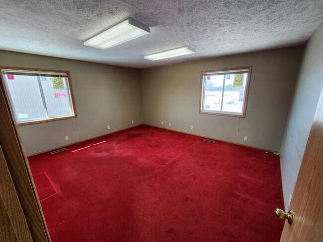
10002 S 148Th St
Omaha-Council Bluffs, NE-IA
Corners No. 12
011608582
LOT 1 B-4 CORNERS NO. 12 REPLAT 2
Commercialnec
Sarpy
X
Nebraska
31153C0042H
1
2024
0.59 AC
2025
Southwest Omaha
010635
Omaha/Council Bluffs
4,945 SF
DEMOGRAPHICS near 10002 S 148Th St
1 Mile
3 Mile
5 Mile
2024 Total Population
596
47,025
132,658
2029 Population
637
49,867
138,971
Pop Growth 2024-2029
+ 6.88%
+ 6.04%
+ 4.76%
Average Age
37
37
37
2024 Total Households
231
17,264
48,792
HH Growth 2024-2029
+ 6.93%
+ 6.22%
+ 4.70%
Median Household Inc
$68,906
$97,380
$100,094
Avg Household Size
2.50
2.70
2.70
2024 Avg HH Vehicles
2.00
2.00
2.00
Median Home Value
$158,015
$252,721
$268,526
Median Year Built
1985
1996
1996
Nearby Places
Map Layers
Map Styles
 Street
 Aerial
- Restaurants
- Banks
- Shops
- Fitness
- Groceries
PUBLIC TRANSPORTATION
AIRPORT
Eppley Airfield
DRIVE
WALK
Distance
Eppley Airfield
31 min
20.3 mi
Lincoln
DRIVE
WALK
Distance
Lincoln
48 min
43.5 mi
SALE & LEASE HISTORY
LISTING DATE
SALE/LEASE

Mar 14, 2025
For Lease
Dec 07, 2016
For Lease
Dec 01, 2022
For Lease
Aug 02, 2023
For Sale
Nearby Properties
Address
Land Use
TOTAL SIZE
Lot Size
Zoning
Address
Land Use
TOTAL SIZE
Lot Size
Zoning
181,712 SF
131.75 AC
Address
Land Use
TOTAL SIZE
Lot Size
Zoning
94.11 AC
Address
Land Use
TOTAL SIZE
Lot Size
Zoning
2,400 SF
21.27 AC
Address
Land Use
TOTAL SIZE
Lot Size
Zoning
51.65 AC
Address
Land Use
TOTAL SIZE
Lot Size
Zoning
3,654 SF
39.62 AC
Address
Land Use
TOTAL SIZE
Lot Size
Zoning
543,301 SF
2.30 AC
IL
Address
Land Use
TOTAL SIZE
Lot Size
Zoning
48.50 AC
Address
Land Use
TOTAL SIZE
Lot Size
Zoning
315,685 SF
21.57 AC
RG10
Address
Land Use
TOTAL SIZE
Lot Size
Zoning
56,174 SF
8.65 AC
Address
Land Use
TOTAL SIZE
Lot Size
Zoning
252,985 SF
6.53 AC
Address
Land Use
TOTAL SIZE
Lot Size
Zoning
9,600 SF
2.07 AC
IL
Address
Land Use
TOTAL SIZE
Lot Size
Zoning
8.10 AC
Address
Land Use
TOTAL SIZE
Lot Size
Zoning
23.99 AC
Address
Land Use
TOTAL SIZE
Lot Size
Zoning
334,533 SF
23.32 AC
Address
Land Use
TOTAL SIZE
Lot Size
Zoning
17.40 AC
Address
Land Use
TOTAL SIZE
Lot Size
Zoning
22.05 AC
Address
Land Use
TOTAL SIZE
Lot Size
Zoning
85,632 SF
5.69 AC
Address
Land Use
TOTAL SIZE
Lot Size
Zoning
24,294 SF
25.79 AC
Address
Land Use
TOTAL SIZE
Lot Size
Zoning
183,184 SF
20.66 AC
Address
Land Use
TOTAL SIZE
Lot Size
Zoning
2,295 SF
11.77 AC
Address
Land Use
TOTAL SIZE
Lot Size
Zoning
27,027 SF
11.15 AC
Address
Land Use
TOTAL SIZE
Lot Size
Zoning
56,150 SF
28.48 AC
Address
Land Use
TOTAL SIZE
Lot Size
Zoning
240,122 SF
10.16 AC
Address
Land Use
TOTAL SIZE
Lot Size
Zoning
210,585 SF
142.28 AC
I2
Address
Land Use
TOTAL SIZE
Lot Size
Zoning
16.57 AC
Address
Land Use
TOTAL SIZE
Lot Size
Zoning
250,999 SF
17.10 AC
Address
Land Use
TOTAL SIZE
Lot Size
Zoning
250,999 SF
15.44 AC
Address
Land Use
TOTAL SIZE
Lot Size
Zoning
6,210 SF
8.28 AC
Address
Land Use
TOTAL SIZE
Lot Size
Zoning
120,500 SF
12.05 AC
IL
Address
Land Use
TOTAL SIZE
Lot Size
Zoning
128,497 SF
13.49 AC
The World's #1 Commercial Real Estate Marketplace
Connect with us
© 2025 CoStar Group
The information above has been obtained from sources believed reliable. While we do not doubt its accuracy we have not verified it and make no guarantee, warranty or representation about it. It is your responsibility to independently confirm its accuracy and completeness. Any projections, opinions, assumptions, or estimates used are for example only and do not represent the current or future performance of the property. The value of this transaction to you depends on tax and other factors which should be evaluated by your tax, financial, and legal advisors. You and your advisors should conduct a careful, independent investigation of the property to determine to your satisfaction the suitability of the property for your needs.