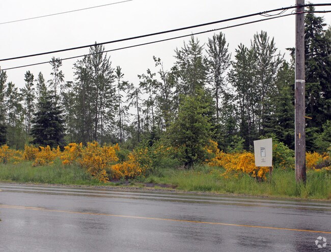
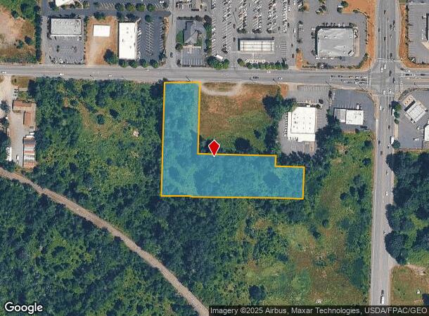
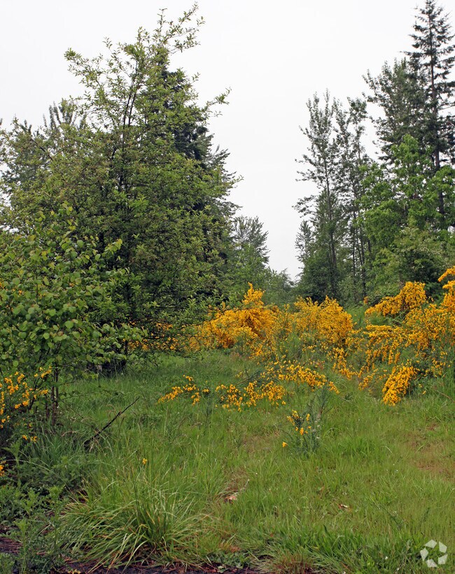
Property Record
10012 224Th St E, Graham, WA 98338
NEARBY LISTINGS FOR SALE OR LEASE
Property Detail
10012 224Th St E
Seattle-Tacoma-Bellevue, WA
SECTION 16 TOWNSHIP 18 RANGE 04 QUARTER 11 : L 2 OF SHORT PLAT 83-12-06-0374 CORRECTED BY AFFIDAVIT AFN 84-06-07-0282 TOG/W EASE & RESTRICTIONS OF RECORD OUT OF 1-023 SEG U-0137 SG ES
041816-5002
Pierce
Commercialacreage
Washington
X
2
53053C0600E
2.57 AC
2024
E Pierce County
2025
Seattle/Puget Sound
073116
DEMOGRAPHICS near 10012 224Th St E
1 mile
3 mile
5 mile
2024 Total Population
2,843
42,876
102,135
2029 Population
2,903
43,713
104,763
Pop Growth 2024-2029
+ 2.11%
+ 1.95%
+ 2.57%
Average Age
39
36
37
2024 Total Households
949
13,700
33,267
HH Growth 2024-2029
+ 2.11%
+ 1.96%
+ 2.59%
Median Household Inc
$103,744
$102,580
$102,519
Avg Household Size
2.90
3.10
3.00
2024 Avg HH Vehicles
3.00
3.00
2.00
Median Home Value
$439,726
$446,624
$444,100
Median Year Built
1993
1998
1998
Nearby Places
Map Layers
Map Styles
 Street
 Aerial
Transit
 Traffic
 Biking
Places
Listings with unknown addresses are not visible on the map
- Restaurants
- Banks
- Shops
- Fitness
- Groceries
PUBLIC TRANSPORTATION
AIRPORT
Seattle-Tacoma International
Drive
Walk
Distance
Seattle-Tacoma International
54 min
32.6 mi
Freight Ports
Port of Tacoma
Drive
Walk
Distance
Port of Tacoma
33 min
17.9 mi
SALE & LEASE HISTORY
LISTING DATE
SALE/LEASE

Nov 12, 2018
For Sale
Nearby Properties
Address
Land Use
TOTAL SIZE
Lot Size
Zoning
Address
Land Use
TOTAL SIZE
Lot Size
Zoning
782,773 SF
53.33 AC
Address
Land Use
TOTAL SIZE
Lot Size
Zoning
753,069 SF
40.94 AC
Address
Land Use
TOTAL SIZE
Lot Size
Zoning
305,680 SF
14.48 AC
Address
Land Use
TOTAL SIZE
Lot Size
Zoning
218,262 SF
3.58 AC
MUD
Address
Land Use
TOTAL SIZE
Lot Size
Zoning
241,111 SF
16.67 AC
R10
Address
Land Use
TOTAL SIZE
Lot Size
Zoning
106,599 SF
20.88 AC
MSF
Address
Land Use
TOTAL SIZE
Lot Size
Zoning
69,447 SF
11.58 AC
NMHR
Address
Land Use
TOTAL SIZE
Lot Size
Zoning
282,007 SF
14.20 AC
R10
Address
Land Use
TOTAL SIZE
Lot Size
Zoning
92,841 SF
12.36 AC
CC
Address
Land Use
TOTAL SIZE
Lot Size
Zoning
83,601 SF
3.18 AC
MHR
Address
Land Use
TOTAL SIZE
Lot Size
Zoning
81,168 SF
15 AC
MSF
Address
Land Use
TOTAL SIZE
Lot Size
Zoning
156,323 SF
4.17 AC
MUD
Address
Land Use
TOTAL SIZE
Lot Size
Zoning
82,882 SF
20.87 AC
R10
Address
Land Use
TOTAL SIZE
Lot Size
Zoning
47,442 SF
19.03 AC
R10
Address
Land Use
TOTAL SIZE
Lot Size
Zoning
1 SF
25.36 AC
R10
Address
Land Use
TOTAL SIZE
Lot Size
Zoning
126,030 SF
5.88 AC
MHR
Address
Land Use
TOTAL SIZE
Lot Size
Zoning
107,586 SF
0.70 AC
MUD
Address
Land Use
TOTAL SIZE
Lot Size
Zoning
1 SF
21.18 AC
SF
Address
Land Use
TOTAL SIZE
Lot Size
Zoning
58,754 SF
25.09 AC
SF
Address
Land Use
TOTAL SIZE
Lot Size
Zoning
9,964 SF
36.23 AC
EC
Address
Land Use
TOTAL SIZE
Lot Size
Zoning
37.28 AC
EC
Address
Land Use
TOTAL SIZE
Lot Size
Zoning
24,022 SF
5 AC
MUD
Address
Land Use
TOTAL SIZE
Lot Size
Zoning
56,261 SF
13.57 AC
R10
Address
Land Use
TOTAL SIZE
Lot Size
Zoning
59,468 SF
17.99 AC
R10
Address
Land Use
TOTAL SIZE
Lot Size
Zoning
42,946 SF
9.55 AC
R10
Address
Land Use
TOTAL SIZE
Lot Size
Zoning
34,480 SF
1.86 AC
MUD
Address
Land Use
TOTAL SIZE
Lot Size
Zoning
52,482 SF
1.91 AC
MUD
Address
Land Use
TOTAL SIZE
Lot Size
Zoning
52,648 SF
9.90 AC
MSF
Address
Land Use
TOTAL SIZE
Lot Size
Zoning
12,495 SF
39.03 AC
CC
Address
Land Use
TOTAL SIZE
Lot Size
Zoning
24,645 SF
5 AC
R10
The World's #1 Commercial Real Estate Marketplace
Connect with us
© 2026 CoStar Group
The information above has been obtained from sources believed reliable. While we do not doubt its accuracy we have not verified it and make no guarantee, warranty or representation about it. It is your responsibility to independently confirm its accuracy and completeness. Any projections, opinions, assumptions, or estimates used are for example only and do not represent the current or future performance of the property. The value of this transaction to you depends on tax and other factors which should be evaluated by your tax, financial, and legal advisors. You and your advisors should conduct a careful, independent investigation of the property to determine to your satisfaction the suitability of the property for your needs.