Property Record
1002 E 36Th St, Tucson, AZ 85713
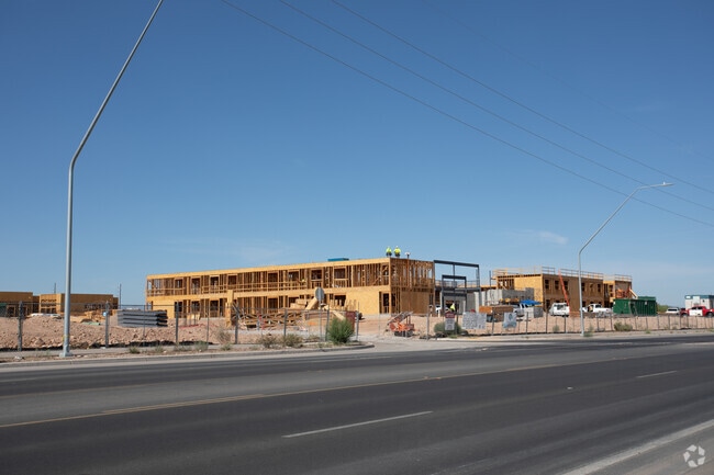


Property Detail
1002 E 36Th St
Tucson, AZ
THE BRIDGES SUB-AREA B-I SQ20212770856 LOT 1
132-13-1370
PIMA
Apartment
Arizona
2025
1
2026
10.17 AC
002509
South Park
189,299 SF
Tucson
NEARBY LISTINGS FOR SALE OR LEASE
DEMOGRAPHICS near 1002 E 36Th St
1 mile
3 mile
5 mile
2025 Total Population
8,464
98,195
270,765
2030 Population
8,640
100,477
278,006
Pop Growth 2025-2030
+ 2.08%
+ 2.32%
+ 2.67%
Average Age
37
36
37
2025 Total Households
2,946
36,705
107,001
HH Growth 2025-2030
+ 2.00%
+ 2.51%
+ 2.83%
Median Household Inc
$42,548
$51,782
$49,178
Avg Household Size
2.70
2.40
2.40
2025 Avg HH Vehicles
2.00
2.00
2.00
Median Home Value
$238,581
$222,575
$249,351
Median Year Built
1973
1971
1974
Nearby Places
Map Layers
Map Styles
 Street
 Aerial
Transit
 Traffic
 Biking
Places
Listings with unknown addresses are not visible on the map
- Restaurants
- Banks
- Shops
- Fitness
- Groceries
PUBLIC TRANSPORTATION
COMMUTER RAIL
Tucson Amtrak Station (Sunset Limited - Amtrak, Texas Eagle - Amtrak)
Drive
Walk
Distance
Tucson Amtrak Station (Sunset Limited - Amtrak, Texas Eagle - Amtrak)
6 min
2.6 mi
AIRPORT
Tucson International
Drive
Walk
Distance
Tucson International
12 min
5.8 mi
Freight Ports
Port of San Diego
Drive
Walk
Distance
Port of San Diego
437 min
411.7 mi
Nearby Properties
Address
Land Use
TOTAL SIZE
Lot Size
Zoning
Address
Land Use
TOTAL SIZE
Lot Size
Zoning
251,851 SF
0.74 AC
Address
Land Use
TOTAL SIZE
Lot Size
Zoning
6,691,842 SF
179.97 AC
Address
Land Use
TOTAL SIZE
Lot Size
Zoning
840,246 SF
180.96 AC
R1
Address
Land Use
TOTAL SIZE
Lot Size
Zoning
813,186 SF
3.65 AC
OCR2
Address
Land Use
TOTAL SIZE
Lot Size
Zoning
89,497 SF
0.51 AC
Address
Land Use
TOTAL SIZE
Lot Size
Zoning
657,188 SF
24.97 AC
PAD5
Address
Land Use
TOTAL SIZE
Lot Size
Zoning
326,845 SF
0.71 AC
Address
Land Use
TOTAL SIZE
Lot Size
Zoning
837,885 SF
16.41 AC
R2
Address
Land Use
TOTAL SIZE
Lot Size
Zoning
60,426 SF
0.43 AC
OCR2
Address
Land Use
TOTAL SIZE
Lot Size
Zoning
60,377 SF
6.25 AC
I1
Address
Land Use
TOTAL SIZE
Lot Size
Zoning
239,060 SF
7.85 AC
Address
Land Use
TOTAL SIZE
Lot Size
Zoning
495,871 SF
3.56 AC
Address
Land Use
TOTAL SIZE
Lot Size
Zoning
475,707 SF
107.59 AC
Address
Land Use
TOTAL SIZE
Lot Size
Zoning
51,655 SF
6.42 AC
I1
Address
Land Use
TOTAL SIZE
Lot Size
Zoning
360,881 SF
21.39 AC
Address
Land Use
TOTAL SIZE
Lot Size
Zoning
377,470 SF
17.48 AC
R1
Address
Land Use
TOTAL SIZE
Lot Size
Zoning
213,400 SF
0.46 AC
Address
Land Use
TOTAL SIZE
Lot Size
Zoning
475,275 SF
2.56 AC
Address
Land Use
TOTAL SIZE
Lot Size
Zoning
256,275 SF
7.57 AC
R2
Address
Land Use
TOTAL SIZE
Lot Size
Zoning
200,511 SF
19.37 AC
Address
Land Use
TOTAL SIZE
Lot Size
Zoning
36,766 SF
3.05 AC
C2
Address
Land Use
TOTAL SIZE
Lot Size
Zoning
300,034 SF
2.45 AC
C3
Address
Land Use
TOTAL SIZE
Lot Size
Zoning
219,172 SF
193.24 AC
R1
Address
Land Use
TOTAL SIZE
Lot Size
Zoning
55,470 SF
4.13 AC
Address
Land Use
TOTAL SIZE
Lot Size
Zoning
12,078 SF
43.80 AC
TH
Address
Land Use
TOTAL SIZE
Lot Size
Zoning
418,519 SF
2.36 AC
OCR2
Address
Land Use
TOTAL SIZE
Lot Size
Zoning
120,380 SF
53.50 AC
PAD15
Address
Land Use
TOTAL SIZE
Lot Size
Zoning
298,003 SF
0.73 AC
Address
Land Use
TOTAL SIZE
Lot Size
Zoning
222,699 SF
2.22 AC
The World's #1 Commercial Real Estate Marketplace
Connect with us
© 2026 CoStar Group
The information above has been obtained from sources believed reliable. While we do not doubt its accuracy we have not verified it and make no guarantee, warranty or representation about it. It is your responsibility to independently confirm its accuracy and completeness. Any projections, opinions, assumptions, or estimates used are for example only and do not represent the current or future performance of the property. The value of this transaction to you depends on tax and other factors which should be evaluated by your tax, financial, and legal advisors. You and your advisors should conduct a careful, independent investigation of the property to determine to your satisfaction the suitability of the property for your needs.