Property Record
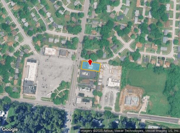
10020 Bellefontaine Rd, Saint Louis, MO 63137

NEARBY LISTINGS FOR SALE OR LEASE
Property Detail
10020 Bellefontaine Rd
St. Louis, MO-IL
Steinmann
11E-14-0695
STEINMANN LOT PT 5
Daycare
St. Louis
X
Missouri
29183C0350G
5
2024
0.37 AC
2025
Northwest County
210600
St. Louis
3,000 SF
DEMOGRAPHICS near 10020 Bellefontaine Rd
1 Mile
3 Mile
5 Mile
2024 Total Population
10,856
80,393
166,889
2029 Population
10,809
80,297
166,261
Pop Growth 2024-2029
(0.43%)
(0.12%)
(0.38%)
Average Age
38
38
39
2024 Total Households
4,116
31,976
67,523
HH Growth 2024-2029
(0.56%)
(0.26%)
(0.44%)
Median Household Inc
$43,216
$38,412
$40,571
Avg Household Size
2.50
2.40
2.40
2024 Avg HH Vehicles
1.00
1.00
1.00
Median Home Value
$76,055
$79,247
$90,876
Median Year Built
1957
1960
1959
Nearby Places
Map Layers
Map Styles
 Street
 Aerial
- Restaurants
- Banks
- Shops
- Fitness
- Groceries
PUBLIC TRANSPORTATION
COMMUTER RAIL
UM St. Louis South (Lambert Airport Shiloh-Scott - St. Louis MetroLink (MetroLink))
DRIVE
WALK
Distance
UM St. Louis South (Lambert Airport Shiloh-Scott - St. Louis MetroLink (MetroLink))
14 min
6.9 mi
UM St. Louis North (Lambert Airport Shiloh-Scott - St. Louis MetroLink (MetroLink))
DRIVE
WALK
Distance
UM St. Louis North (Lambert Airport Shiloh-Scott - St. Louis MetroLink (MetroLink))
14 min
7.3 mi
AIRPORT
St Louis Lambert International
DRIVE
WALK
Distance
St Louis Lambert International
14 min
7.4 mi
Scott AFB/Midamerica St Louis
DRIVE
WALK
Distance
Scott AFB/Midamerica St Louis
52 min
33.2 mi
Nearby Properties
Address
Land Use
TOTAL SIZE
Lot Size
Zoning
Address
Land Use
TOTAL SIZE
Lot Size
Zoning
1,925 SF
21.27 AC
C-8
Address
Land Use
TOTAL SIZE
Lot Size
Zoning
75.13 AC
R3
Address
Land Use
TOTAL SIZE
Lot Size
Zoning
205,268 SF
36.09 AC
88R-1
Address
Land Use
TOTAL SIZE
Lot Size
Zoning
48.23 AC
R3
Address
Land Use
TOTAL SIZE
Lot Size
Zoning
643,294 SF
32.09 AC
R7
Address
Land Use
TOTAL SIZE
Lot Size
Zoning
39.86 AC
A
Address
Land Use
TOTAL SIZE
Lot Size
Zoning
58,818 SF
8.02 AC
22C-1
Address
Land Use
TOTAL SIZE
Lot Size
Zoning
47,184 SF
119.33 AC
PS
Address
Land Use
TOTAL SIZE
Lot Size
Zoning
15.59 AC
R4
Address
Land Use
TOTAL SIZE
Lot Size
Zoning
77,616 SF
10.56 AC
C-8
Address
Land Use
TOTAL SIZE
Lot Size
Zoning
148,974 SF
17.04 AC
C-8
Address
Land Use
TOTAL SIZE
Lot Size
Zoning
20.62 AC
R3
Address
Land Use
TOTAL SIZE
Lot Size
Zoning
18.86 AC
R3
Address
Land Use
TOTAL SIZE
Lot Size
Zoning
218,822 SF
15.94 AC
R6
Address
Land Use
TOTAL SIZE
Lot Size
Zoning
10,362 SF
19.03 AC
81R-2
Address
Land Use
TOTAL SIZE
Lot Size
Zoning
92,740 SF
27.63 AC
NU
Address
Land Use
TOTAL SIZE
Lot Size
Zoning
10 AC
R3
Address
Land Use
TOTAL SIZE
Lot Size
Zoning
64,372 SF
4.95 AC
C-8
Address
Land Use
TOTAL SIZE
Lot Size
Zoning
8.66 AC
R3
Address
Land Use
TOTAL SIZE
Lot Size
Zoning
10.24 AC
R-4
Address
Land Use
TOTAL SIZE
Lot Size
Zoning
3,256 SF
38.63 AC
88R-3
Address
Land Use
TOTAL SIZE
Lot Size
Zoning
30.81 AC
R3
Address
Land Use
TOTAL SIZE
Lot Size
Zoning
31,800 SF
17.34 AC
C-8
Address
Land Use
TOTAL SIZE
Lot Size
Zoning
8.64 AC
R-4
Address
Land Use
TOTAL SIZE
Lot Size
Zoning
171,193 SF
11.63 AC
R6
Address
Land Use
TOTAL SIZE
Lot Size
Zoning
88,466 SF
2.13 AC
31C-2S
Address
Land Use
TOTAL SIZE
Lot Size
Zoning
5.23 AC
31R-1
Address
Land Use
TOTAL SIZE
Lot Size
Zoning
56,030 SF
5.81 AC
C1
Address
Land Use
TOTAL SIZE
Lot Size
Zoning
111,847 SF
10.71 AC
22C-1
Address
Land Use
TOTAL SIZE
Lot Size
Zoning
162,456 SF
10.39 AC
R-7
The World's #1 Commercial Real Estate Marketplace
Connect with us
© 2025 CoStar Group
The information above has been obtained from sources believed reliable. While we do not doubt its accuracy we have not verified it and make no guarantee, warranty or representation about it. It is your responsibility to independently confirm its accuracy and completeness. Any projections, opinions, assumptions, or estimates used are for example only and do not represent the current or future performance of the property. The value of this transaction to you depends on tax and other factors which should be evaluated by your tax, financial, and legal advisors. You and your advisors should conduct a careful, independent investigation of the property to determine to your satisfaction the suitability of the property for your needs.