Property Record
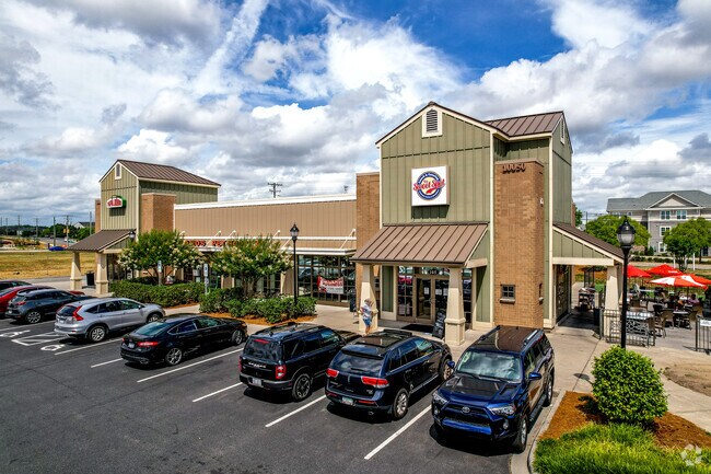
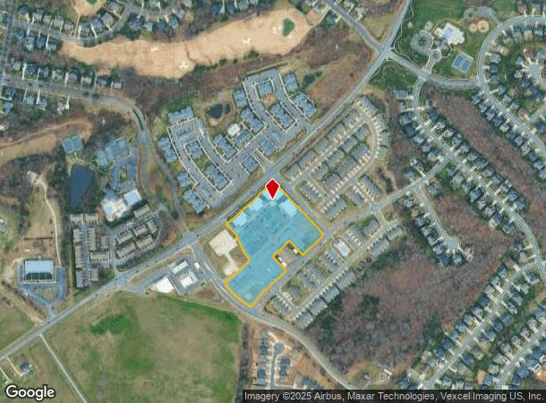
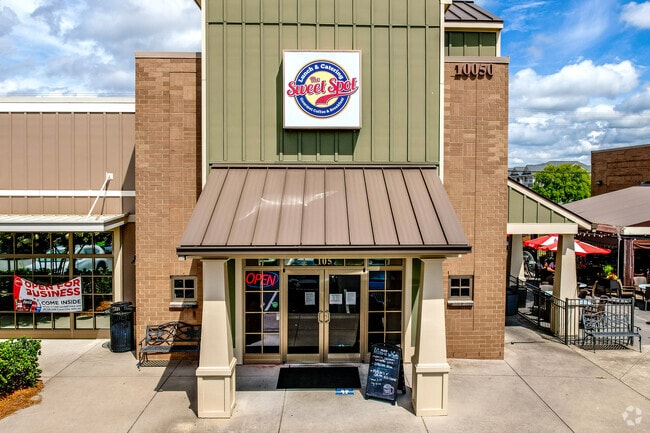
10030 Edison Square Dr Nw, Huntersville, NC 28078

NEARBY LISTINGS FOR SALE OR LEASE
Property Detail
10030 Edison Square Dr Nw
Charlotte
West Cabarrus
Charlotte-Concord-Gastonia, NC-SC
P/O LT 2 THOMAS ALEXANDER RANKIN
4670-55-8812-0000
Cabarrus
Medicalbuilding
North Carolina
2025
2
2025
6.78 AC
006212
Cabarrus County
24,336 SF
DEMOGRAPHICS near 10030 Edison Square Dr Nw
1 Mile
3 Mile
5 Mile
2024 Total Population
9,803
53,661
118,670
2029 Population
10,844
58,688
129,165
Pop Growth 2024-2029
+ 10.62%
+ 9.37%
+ 8.84%
Average Age
37
36
37
2024 Total Households
3,315
18,936
43,069
HH Growth 2024-2029
+ 9.50%
+ 8.40%
+ 8.30%
Median Household Inc
$147,984
$104,965
$100,182
Avg Household Size
2.90
2.80
2.70
2024 Avg HH Vehicles
2.00
2.00
2.00
Median Home Value
$405,313
$346,309
$345,881
Median Year Built
2006
2005
2004
Nearby Places
Map Layers
Map Styles
 Street
 Aerial
- Restaurants
- Banks
- Shops
- Fitness
- Groceries
PUBLIC TRANSPORTATION
AIRPORT
Concord-Padgett Regional
DRIVE
WALK
Distance
Concord-Padgett Regional
12 min
5.9 mi
Charlotte/Douglas International
DRIVE
WALK
Distance
Charlotte/Douglas International
37 min
22.8 mi
Freight Ports
North Charleston Terminal
DRIVE
WALK
Distance
North Charleston Terminal
248 min
218.7 mi
Nearby Properties
Address
Land Use
TOTAL SIZE
Lot Size
Zoning
Address
Land Use
TOTAL SIZE
Lot Size
Zoning
374,697 SF
12.46 AC
Address
Land Use
TOTAL SIZE
Lot Size
Zoning
14,742 SF
587.28 AC
I-1
Address
Land Use
TOTAL SIZE
Lot Size
Zoning
375,242 SF
25.64 AC
CC
Address
Land Use
TOTAL SIZE
Lot Size
Zoning
26,733 SF
48.78 AC
C-2
Address
Land Use
TOTAL SIZE
Lot Size
Zoning
146,501 SF
78.92 AC
O-I
Address
Land Use
TOTAL SIZE
Lot Size
Zoning
30,586 SF
54.10 AC
C-2
Address
Land Use
TOTAL SIZE
Lot Size
Zoning
316,033 SF
30.04 AC
R3
Address
Land Use
TOTAL SIZE
Lot Size
Zoning
31,248 SF
21.72 AC
C-2
Address
Land Use
TOTAL SIZE
Lot Size
Zoning
310,576 SF
11.22 AC
Address
Land Use
TOTAL SIZE
Lot Size
Zoning
15.72 AC
Address
Land Use
TOTAL SIZE
Lot Size
Zoning
276,620 SF
19.76 AC
R3
Address
Land Use
TOTAL SIZE
Lot Size
Zoning
252,523 SF
7.75 AC
R3
Address
Land Use
TOTAL SIZE
Lot Size
Zoning
62,780 SF
21.89 AC
Address
Land Use
TOTAL SIZE
Lot Size
Zoning
289,262 SF
14.50 AC
CC
Address
Land Use
TOTAL SIZE
Lot Size
Zoning
284,316 SF
15.50 AC
R22MFCD
Address
Land Use
TOTAL SIZE
Lot Size
Zoning
30,682 SF
24.33 AC
LDR
Address
Land Use
TOTAL SIZE
Lot Size
Zoning
261,701 SF
11.05 AC
R-17MF(CD)
Address
Land Use
TOTAL SIZE
Lot Size
Zoning
249,618 SF
63.24 AC
RL
Address
Land Use
TOTAL SIZE
Lot Size
Zoning
600,000 SF
27.59 AC
I-2-CD
Address
Land Use
TOTAL SIZE
Lot Size
Zoning
209,077 SF
5.76 AC
HC(CD)
Address
Land Use
TOTAL SIZE
Lot Size
Zoning
190,305 SF
7.20 AC
CC
Address
Land Use
TOTAL SIZE
Lot Size
Zoning
210,190 SF
10.87 AC
CC
Address
Land Use
TOTAL SIZE
Lot Size
Zoning
173,528 SF
6.30 AC
UR-3(CD)
Address
Land Use
TOTAL SIZE
Lot Size
Zoning
443,944 SF
33.24 AC
CD-I-2
Address
Land Use
TOTAL SIZE
Lot Size
Zoning
401,634 SF
40.90 AC
I-1
Address
Land Use
TOTAL SIZE
Lot Size
Zoning
411,200 SF
22.94 AC
I-2-CD
Address
Land Use
TOTAL SIZE
Lot Size
Zoning
221,640 SF
30.04 AC
R3
Address
Land Use
TOTAL SIZE
Lot Size
Zoning
140,605 SF
33.96 AC
R
Address
Land Use
TOTAL SIZE
Lot Size
Zoning
1,157 SF
19.23 AC
INST
Address
Land Use
TOTAL SIZE
Lot Size
Zoning
26,134 SF
98.70 AC
GC
The World's #1 Commercial Real Estate Marketplace
Connect with us
© 2026 CoStar Group
The information above has been obtained from sources believed reliable. While we do not doubt its accuracy we have not verified it and make no guarantee, warranty or representation about it. It is your responsibility to independently confirm its accuracy and completeness. Any projections, opinions, assumptions, or estimates used are for example only and do not represent the current or future performance of the property. The value of this transaction to you depends on tax and other factors which should be evaluated by your tax, financial, and legal advisors. You and your advisors should conduct a careful, independent investigation of the property to determine to your satisfaction the suitability of the property for your needs.