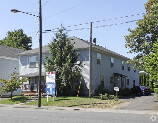
Property Record
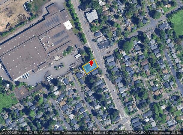
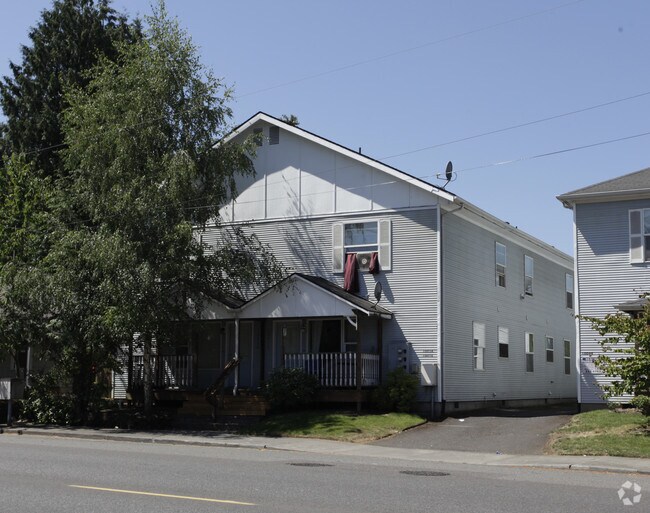
10040 N Lombard St, Portland, OR 97203

NEARBY LISTINGS FOR SALE OR LEASE
Property Detail
10040 N Lombard St
Portland-Vancouver-Hillsboro, OR-WA
Mcdougalls Sub
R215044
MCDOUGALLS SUB, BLOCK 1, INC PT VAC ST LOT 11 EXC PT IN ST
Multifamilydwelling
Multnomah
ARE
Oregon
41067C0375E
11
2025
0.23 AC
2025
St Johns
004104
Portland
5,472 SF
DEMOGRAPHICS near 10040 N Lombard St
1 Mile
3 Mile
5 Mile
2024 Total Population
9,290
34,079
122,322
2029 Population
9,015
33,196
122,579
Pop Growth 2024-2029
(2.96%)
(2.59%)
+ 0.21%
Average Age
38
37
39
2024 Total Households
4,159
12,780
47,676
HH Growth 2024-2029
(3.15%)
(2.97%)
+ 0.33%
Median Household Inc
$75,768
$79,693
$105,513
Avg Household Size
2.10
2.40
2.40
2024 Avg HH Vehicles
2.00
2.00
2.00
Median Home Value
$464,922
$466,598
$606,276
Median Year Built
1969
1960
1985
Nearby Places
Map Layers
Map Styles
 Street
 Aerial
- Restaurants
- Banks
- Shops
- Fitness
- Groceries
PUBLIC TRANSPORTATION
COMMUTER RAIL
DRIVE
WALK
Distance
18 min
7.9 mi
DRIVE
WALK
Distance
20 min
8.3 mi
AIRPORT
Portland International
DRIVE
WALK
Distance
Portland International
28 min
11.8 mi
Freight Ports
Port of Portland
DRIVE
WALK
Distance
Port of Portland
13 min
5.9 mi
Nearby Properties
Address
Land Use
TOTAL SIZE
Lot Size
Zoning
Address
Land Use
TOTAL SIZE
Lot Size
Zoning
200,109 SF
70.44 AC
IH
Address
Land Use
TOTAL SIZE
Lot Size
Zoning
882,480 SF
80.73 AC
CI1
Address
Land Use
TOTAL SIZE
Lot Size
Zoning
546,069 SF
142 AC
IH
Address
Land Use
TOTAL SIZE
Lot Size
Zoning
890,408 SF
22.48 AC
IH
Address
Land Use
TOTAL SIZE
Lot Size
Zoning
Address
Land Use
TOTAL SIZE
Lot Size
Zoning
262,045 SF
17.10 AC
R5
Address
Land Use
TOTAL SIZE
Lot Size
Zoning
Address
Land Use
TOTAL SIZE
Lot Size
Zoning
Address
Land Use
TOTAL SIZE
Lot Size
Zoning
335.31 AC
OS
Address
Land Use
TOTAL SIZE
Lot Size
Zoning
191,506 SF
10.43 AC
IH
Address
Land Use
TOTAL SIZE
Lot Size
Zoning
48.39 AC
NULL
Address
Land Use
TOTAL SIZE
Lot Size
Zoning
918,400 SF
48.13 AC
IH
Address
Land Use
TOTAL SIZE
Lot Size
Zoning
75.20 AC
IH
Address
Land Use
TOTAL SIZE
Lot Size
Zoning
318,562 SF
33.59 AC
CI1
Address
Land Use
TOTAL SIZE
Lot Size
Zoning
Address
Land Use
TOTAL SIZE
Lot Size
Zoning
5,045,000 SF
116.53 AC
IH
Address
Land Use
TOTAL SIZE
Lot Size
Zoning
Address
Land Use
TOTAL SIZE
Lot Size
Zoning
100 SF
82.93 AC
IH
Address
Land Use
TOTAL SIZE
Lot Size
Zoning
73,657 SF
1.90 AC
CI1
Address
Land Use
TOTAL SIZE
Lot Size
Zoning
37,770 SF
6.90 AC
EG2
Address
Land Use
TOTAL SIZE
Lot Size
Zoning
313,214 SF
NULL
Address
Land Use
TOTAL SIZE
Lot Size
Zoning
Address
Land Use
TOTAL SIZE
Lot Size
Zoning
5,499,311 SF
40.90 AC
IH
Address
Land Use
TOTAL SIZE
Lot Size
Zoning
Address
Land Use
TOTAL SIZE
Lot Size
Zoning
Address
Land Use
TOTAL SIZE
Lot Size
Zoning
200 SF
50.40 AC
IH
Address
Land Use
TOTAL SIZE
Lot Size
Zoning
523,196 SF
21.97 AC
IHH
Address
Land Use
TOTAL SIZE
Lot Size
Zoning
Address
Land Use
TOTAL SIZE
Lot Size
Zoning
425,395 SF
16.65 AC
IHH
Address
Land Use
TOTAL SIZE
Lot Size
Zoning
309,393 SF
14.87 AC
IH
The World's #1 Commercial Real Estate Marketplace
Connect with us
© 2026 CoStar Group
The information above has been obtained from sources believed reliable. While we do not doubt its accuracy we have not verified it and make no guarantee, warranty or representation about it. It is your responsibility to independently confirm its accuracy and completeness. Any projections, opinions, assumptions, or estimates used are for example only and do not represent the current or future performance of the property. The value of this transaction to you depends on tax and other factors which should be evaluated by your tax, financial, and legal advisors. You and your advisors should conduct a careful, independent investigation of the property to determine to your satisfaction the suitability of the property for your needs.