Property Record
10050 Hyne Rd, Brighton, MI 48114
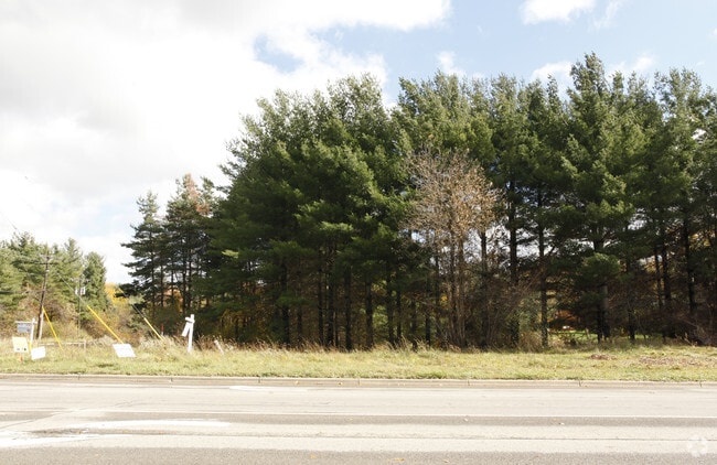


This Property Is For Sale
NEARBY LISTINGS FOR SALE OR LEASE
-
-
View all Brighton listings for sale on LoopNet.com
Property Detail
10050 Hyne Rd
12-09-300-012
SEC. 9 T2N, R6E, BEG. AT W. 1/4 POST TH. S. 88*52'30"E. 500 FT., S. 0* 24'E. 350 FT., N. 88* 52' 30" W. 200 FT., N. 73* 02'
Commercialnec
Livingston
X
Michigan
26093C0335D
3.70 AC
2025
Livingston County
2025
Detroit
740600
Detroit-Warren-Dearborn, MI
1,456 SF
DEMOGRAPHICS near 10050 Hyne Rd
1 Mile
3 Mile
5 Mile
2024 Total Population
2,081
17,241
50,831
2029 Population
2,131
17,654
52,197
Pop Growth 2024-2029
+ 2.40%
+ 2.40%
+ 2.69%
Average Age
43
43
43
2024 Total Households
733
6,336
19,998
HH Growth 2024-2029
+ 2.32%
+ 2.40%
+ 2.77%
Median Household Inc
$109,615
$112,468
$96,218
Avg Household Size
2.80
2.70
2.50
2024 Avg HH Vehicles
2.00
2.00
2.00
Median Home Value
$379,486
$371,949
$335,249
Median Year Built
1986
1988
1988
Nearby Places
Map Layers
Map Styles
 Street
 Aerial
- Restaurants
- Banks
- Shops
- Fitness
- Groceries
PUBLIC TRANSPORTATION
AIRPORT
Bishop International
DRIVE
WALK
Distance
Bishop International
47 min
29.6 mi
Freight Ports
Port of Toledo
DRIVE
WALK
Distance
Port of Toledo
105 min
82.1 mi
Nearby Properties
Address
Land Use
TOTAL SIZE
Lot Size
Zoning
Address
Land Use
TOTAL SIZE
Lot Size
Zoning
30,954 SF
1.91 AC
CD-RZ
Address
Land Use
TOTAL SIZE
Lot Size
Zoning
66,582 SF
7.10 AC
PID
Address
Land Use
TOTAL SIZE
Lot Size
Zoning
40,646 SF
8.51 AC
B-2
Address
Land Use
TOTAL SIZE
Lot Size
Zoning
35,996 SF
10.84 AC
GCD
Address
Land Use
TOTAL SIZE
Lot Size
Zoning
68,732 SF
9.13 AC
OSD
Address
Land Use
TOTAL SIZE
Lot Size
Zoning
51,668 SF
8.28 AC
RPUD
Address
Land Use
TOTAL SIZE
Lot Size
Zoning
31,688 SF
2.59 AC
IND
Address
Land Use
TOTAL SIZE
Lot Size
Zoning
31,233 SF
7.20 AC
B-2
Address
Land Use
TOTAL SIZE
Lot Size
Zoning
34,848 SF
3.10 AC
OSD
Address
Land Use
TOTAL SIZE
Lot Size
Zoning
15,862 SF
2.07 AC
B-2
Address
Land Use
TOTAL SIZE
Lot Size
Zoning
37,787 SF
2.87 AC
OSD
Address
Land Use
TOTAL SIZE
Lot Size
Zoning
66,875 SF
5.77 AC
I
Address
Land Use
TOTAL SIZE
Lot Size
Zoning
36,960 SF
4.20 AC
I-1
Address
Land Use
TOTAL SIZE
Lot Size
Zoning
5,060 SF
1.15 AC
CD-RZ
Address
Land Use
TOTAL SIZE
Lot Size
Zoning
39,415 SF
3.10 AC
IND
Address
Land Use
TOTAL SIZE
Lot Size
Zoning
10,005 SF
5.55 AC
GCD
Address
Land Use
TOTAL SIZE
Lot Size
Zoning
38,167 SF
13.75 AC
I-1
Address
Land Use
TOTAL SIZE
Lot Size
Zoning
35,180 SF
12.26 AC
I-1
Address
Land Use
TOTAL SIZE
Lot Size
Zoning
37,800 SF
10.60 AC
LI
Address
Land Use
TOTAL SIZE
Lot Size
Zoning
38,550 SF
4.34 AC
I-1
Address
Land Use
TOTAL SIZE
Lot Size
Zoning
16,476 SF
2.64 AC
B-2
Address
Land Use
TOTAL SIZE
Lot Size
Zoning
8,188 SF
1.79 AC
B-2
Address
Land Use
TOTAL SIZE
Lot Size
Zoning
2,400 SF
8.96 AC
RMH
Address
Land Use
TOTAL SIZE
Lot Size
Zoning
28,690 SF
10 AC
LI
Address
Land Use
TOTAL SIZE
Lot Size
Zoning
13,036 SF
1.65 AC
B-1
Address
Land Use
TOTAL SIZE
Lot Size
Zoning
21,058 SF
1.80 AC
OSD
Address
Land Use
TOTAL SIZE
Lot Size
Zoning
158.85 AC
CA
Address
Land Use
TOTAL SIZE
Lot Size
Zoning
8,913 SF
10.01 AC
I-1
Address
Land Use
TOTAL SIZE
Lot Size
Zoning
17,149 SF
2.36 AC
IND
Address
Land Use
TOTAL SIZE
Lot Size
Zoning
9,894 SF
3.40 AC
LI
The World's #1 Commercial Real Estate Marketplace
Connect with us
© 2025 CoStar Group
The information above has been obtained from sources believed reliable. While we do not doubt its accuracy we have not verified it and make no guarantee, warranty or representation about it. It is your responsibility to independently confirm its accuracy and completeness. Any projections, opinions, assumptions, or estimates used are for example only and do not represent the current or future performance of the property. The value of this transaction to you depends on tax and other factors which should be evaluated by your tax, financial, and legal advisors. You and your advisors should conduct a careful, independent investigation of the property to determine to your satisfaction the suitability of the property for your needs.