Property Record
1006 S Main St, Lansing, KS 66043

NEARBY LISTINGS FOR SALE OR LEASE
Property Detail
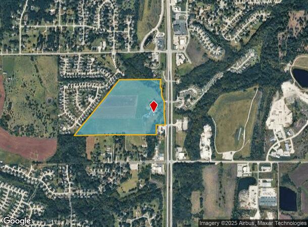
1006 S Main St
107-25-0-00-00-018.00-0
S25, T09, R22E, ACRES 47.55, S1/2 N1/2 SE1/4 & N1/2 S1/2 NE1/4 EXC N208.6 OF E208.6 & EXC TR BEG NW COR INTER MILITARY DR & S LI N1/2 S1/2, W220(S), N238.6, E210(S), SLY 230(S) TO POB ALL LYING E OF W LN A T & SF RR ROW ALL LESS RD ROW
Agriculturalland
Leavenworth
AE
Kansas
20103C0232G
47.55 AC
2024
Leavenworth County
2025
Kansas City
071104
Kansas City, MO-KS
2,584 SF
DEMOGRAPHICS near 1006 S Main St
1 mile
3 mile
5 mile
2024 Total Population
4,464
13,508
32,025
2029 Population
4,560
13,810
32,777
Pop Growth 2024-2029
+ 2.15%
+ 2.24%
+ 2.35%
Average Age
40
41
41
2024 Total Households
1,365
4,201
11,018
HH Growth 2024-2029
+ 2.27%
+ 2.29%
+ 2.49%
Median Household Inc
$126,202
$101,023
$89,343
Avg Household Size
2.80
2.70
2.60
2024 Avg HH Vehicles
3.00
2.00
2.00
Median Home Value
$317,539
$258,484
$248,967
Median Year Built
1988
1985
1985
Nearby Places
Map Layers
Map Styles
 Street
 Aerial
Transit
 Traffic
 Biking
Places
Listings with unknown addresses are not visible on the map
- Restaurants
- Banks
- Shops
- Fitness
- Groceries
PUBLIC TRANSPORTATION
AIRPORT
Kansas City International
Drive
Walk
Distance
Kansas City International
40 min
29.3 mi
Freight Ports
Tulsa Port Of Catoosa
Drive
Walk
Distance
Tulsa Port Of Catoosa
283 min
252.4 mi
Nearby Properties
Address
Land Use
TOTAL SIZE
Lot Size
Zoning
Address
Land Use
TOTAL SIZE
Lot Size
Zoning
2,949 SF
398.40 AC
Address
Land Use
TOTAL SIZE
Lot Size
Zoning
546,636 SF
143.55 AC
Address
Land Use
TOTAL SIZE
Lot Size
Zoning
238,164 SF
153.40 AC
Address
Land Use
TOTAL SIZE
Lot Size
Zoning
141,398 SF
24.20 AC
Address
Land Use
TOTAL SIZE
Lot Size
Zoning
200,862 SF
39.51 AC
Address
Land Use
TOTAL SIZE
Lot Size
Zoning
89,647 SF
24.76 AC
Address
Land Use
TOTAL SIZE
Lot Size
Zoning
48,527 SF
19.79 AC
Address
Land Use
TOTAL SIZE
Lot Size
Zoning
32,463 SF
7.60 AC
Address
Land Use
TOTAL SIZE
Lot Size
Zoning
203,193 SF
33.15 AC
Address
Land Use
TOTAL SIZE
Lot Size
Zoning
346.96 AC
Address
Land Use
TOTAL SIZE
Lot Size
Zoning
25,661 SF
3.47 AC
Address
Land Use
TOTAL SIZE
Lot Size
Zoning
55,961 SF
22.45 AC
Address
Land Use
TOTAL SIZE
Lot Size
Zoning
104,136 SF
12.79 AC
Address
Land Use
TOTAL SIZE
Lot Size
Zoning
718,000 SF
54.43 AC
Address
Land Use
TOTAL SIZE
Lot Size
Zoning
47,723 SF
3.15 AC
Address
Land Use
TOTAL SIZE
Lot Size
Zoning
12,000 SF
1.24 AC
Address
Land Use
TOTAL SIZE
Lot Size
Zoning
3,306 SF
158.47 AC
Address
Land Use
TOTAL SIZE
Lot Size
Zoning
220.40 AC
Address
Land Use
TOTAL SIZE
Lot Size
Zoning
94,112 SF
23.76 AC
Address
Land Use
TOTAL SIZE
Lot Size
Zoning
20,573 SF
4.60 AC
Address
Land Use
TOTAL SIZE
Lot Size
Zoning
572 SF
127.94 AC
Address
Land Use
TOTAL SIZE
Lot Size
Zoning
15,444 SF
4.91 AC
Address
Land Use
TOTAL SIZE
Lot Size
Zoning
183.61 AC
Address
Land Use
TOTAL SIZE
Lot Size
Zoning
26,053 SF
5.24 AC
Address
Land Use
TOTAL SIZE
Lot Size
Zoning
46,974 SF
5.61 AC
Address
Land Use
TOTAL SIZE
Lot Size
Zoning
10,800 SF
2.94 AC
Address
Land Use
TOTAL SIZE
Lot Size
Zoning
11.80 AC
Address
Land Use
TOTAL SIZE
Lot Size
Zoning
55,384 SF
7.47 AC
Address
Land Use
TOTAL SIZE
Lot Size
Zoning
24,254 SF
2.36 AC
Address
Land Use
TOTAL SIZE
Lot Size
Zoning
20,948 SF
9.70 AC
The World's #1 Commercial Real Estate Marketplace
Connect with us
© 2026 CoStar Group
The information above has been obtained from sources believed reliable. While we do not doubt its accuracy we have not verified it and make no guarantee, warranty or representation about it. It is your responsibility to independently confirm its accuracy and completeness. Any projections, opinions, assumptions, or estimates used are for example only and do not represent the current or future performance of the property. The value of this transaction to you depends on tax and other factors which should be evaluated by your tax, financial, and legal advisors. You and your advisors should conduct a careful, independent investigation of the property to determine to your satisfaction the suitability of the property for your needs.