Property Record
1007 Nichols Ct, Rocklin, CA 95765


Save to a Folder
{{folder.Name}}
{{folder.ListingIds.length}} Properties
{{folder.ListingIds.length}} Property
Create a New Folder
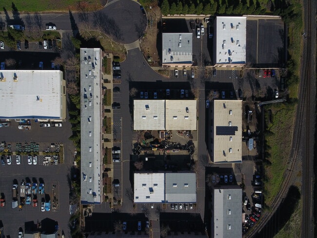
Property Detail
1007 Nichols Ct
485-070-005
PAR 5 PMOR 34-7
Industrialcondominium
Placer
INPDC
California
B and X Area of moderate flood hazard, usually the area between the limits of the 100-year and 500-year floods.
0.15 AC
2025
Roseville/Rocklin
2026
Sacramento
021328
Sacramento-Roseville-Folsom, CA
4,179 SF
NEARBY LISTINGS FOR SALE OR LEASE
DEMOGRAPHICS near 1007 Nichols Ct
1 mile
3 mile
5 mile
2025 Total Population
1,971
85,504
212,603
2030 Population
2,070
89,835
224,077
Pop Growth 2025-2030
+ 5.02%
+ 5.07%
+ 5.40%
Average Age
38
39
41
2025 Total Households
574
29,553
77,417
HH Growth 2025-2030
+ 5.05%
+ 4.99%
+ 5.26%
Median Household Inc
$143,882
$127,809
$118,472
Avg Household Size
3.10
2.80
2.70
2025 Avg HH Vehicles
2.00
2.00
2.00
Median Home Value
$701,470
$732,976
$713,469
Median Year Built
2007
2003
2002
Nearby Places
Map Layers
Map Styles
 Street
 Aerial
Layers
 Traffic
 Biking
Places
Listings with unknown addresses are not visible on the map
- Restaurants
- Banks
- Shops
- Fitness
- Groceries
PUBLIC TRANSPORTATION
COMMUTER RAIL
Drive
Walk
Distance
14 min
6.0 mi
Drive
Walk
Distance
14 min
6.4 mi
AIRPORT
Sacramento International
Drive
Walk
Distance
Sacramento International
44 min
32.4 mi
SALE & LEASE HISTORY
LISTING DATE
SALE/LEASE

Jan 27, 2026
For Sale
Nearby Properties
Address
Land Use
TOTAL SIZE
Lot Size
Zoning
Address
Land Use
TOTAL SIZE
Lot Size
Zoning
341,145 SF
12 AC
Address
Land Use
TOTAL SIZE
Lot Size
Zoning
471,741 SF
15.14 AC
Address
Land Use
TOTAL SIZE
Lot Size
Zoning
280,129 SF
14.90 AC
Address
Land Use
TOTAL SIZE
Lot Size
Zoning
401,656 SF
28 AC
Address
Land Use
TOTAL SIZE
Lot Size
Zoning
130,228 SF
11.10 AC
Address
Land Use
TOTAL SIZE
Lot Size
Zoning
Address
Land Use
TOTAL SIZE
Lot Size
Zoning
1,032,692 SF
81.30 AC
INPDC
Address
Land Use
TOTAL SIZE
Lot Size
Zoning
243,765 SF
14.24 AC
Address
Land Use
TOTAL SIZE
Lot Size
Zoning
144,760 SF
26.70 AC
Address
Land Use
TOTAL SIZE
Lot Size
Zoning
222,702 SF
10.57 AC
Address
Land Use
TOTAL SIZE
Lot Size
Zoning
769,698 SF
50.39 AC
Address
Land Use
TOTAL SIZE
Lot Size
Zoning
411,344 SF
41.50 AC
Address
Land Use
TOTAL SIZE
Lot Size
Zoning
244,077 SF
8.70 AC
Address
Land Use
TOTAL SIZE
Lot Size
Zoning
162,800 SF
11.70 AC
Address
Land Use
TOTAL SIZE
Lot Size
Zoning
193,126 SF
75.84 AC
Address
Land Use
TOTAL SIZE
Lot Size
Zoning
217,756 SF
8.90 AC
Address
Land Use
TOTAL SIZE
Lot Size
Zoning
132,784 SF
9.80 AC
Address
Land Use
TOTAL SIZE
Lot Size
Zoning
401,175 SF
19.80 AC
Address
Land Use
TOTAL SIZE
Lot Size
Zoning
191,820 SF
12.40 AC
Address
Land Use
TOTAL SIZE
Lot Size
Zoning
718,131 SF
42 AC
Address
Land Use
TOTAL SIZE
Lot Size
Zoning
12,176 SF
22.70 AC
Address
Land Use
TOTAL SIZE
Lot Size
Zoning
198,530 SF
11.50 AC
Address
Land Use
TOTAL SIZE
Lot Size
Zoning
188,500 SF
20.30 AC
Address
Land Use
TOTAL SIZE
Lot Size
Zoning
314,360 SF
18.90 AC
Address
Land Use
TOTAL SIZE
Lot Size
Zoning
388,111 SF
19.51 AC
Address
Land Use
TOTAL SIZE
Lot Size
Zoning
222,453 SF
27.60 AC
Address
Land Use
TOTAL SIZE
Lot Size
Zoning
198,824 SF
29.66 AC
The World's #1 Commercial Real Estate Marketplace
Connect with us
© 2026 CoStar Group
The information above has been obtained from sources believed reliable. While we do not doubt its accuracy we have not verified it and make no guarantee, warranty or representation about it. It is your responsibility to independently confirm its accuracy and completeness. Any projections, opinions, assumptions, or estimates used are for example only and do not represent the current or future performance of the property. The value of this transaction to you depends on tax and other factors which should be evaluated by your tax, financial, and legal advisors. You and your advisors should conduct a careful, independent investigation of the property to determine to your satisfaction the suitability of the property for your needs.