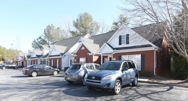
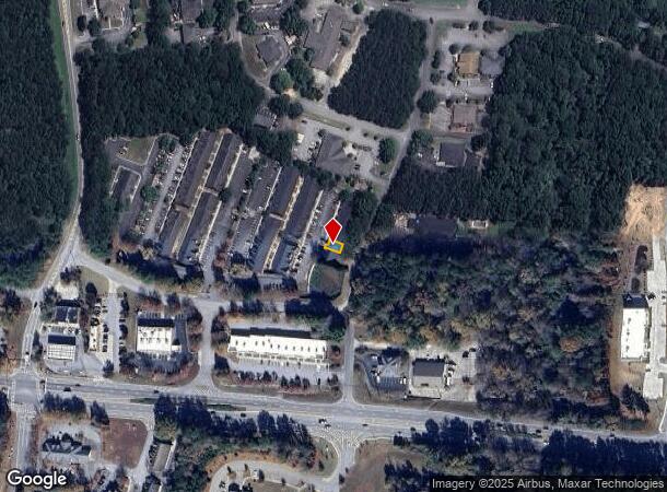
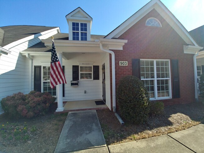
Property Record
101 Devant St, Fayetteville, GA 30214

NEARBY LISTINGS FOR SALE OR LEASE
Property Detail
101 Devant St
05-22-19-025
Executive Office Park
Officebuilding
UNIT 102
X
Fayette
13113C0103E
Georgia
2024
0.03 AC
2024
Fayette/Coweta County
140404
Atlanta
1,274 SF
Atlanta-Sandy Springs-Roswell, GA
DEMOGRAPHICS near 101 Devant St
1 Mile
3 Mile
5 Mile
2024 Total Population
3,706
29,539
54,389
2029 Population
3,911
31,485
57,956
Pop Growth 2024-2029
+ 5.53%
+ 6.59%
+ 6.56%
Average Age
45
43
43
2024 Total Households
1,586
11,022
19,695
HH Growth 2024-2029
+ 5.55%
+ 6.61%
+ 6.60%
Median Household Inc
$58,135
$81,656
$86,849
Avg Household Size
2.20
2.60
2.70
2024 Avg HH Vehicles
2.00
2.00
2.00
Median Home Value
$249,444
$295,945
$302,377
Median Year Built
1991
1994
1992
Nearby Places
Map Layers
Map Styles
 Street
 Aerial
- Restaurants
- Banks
- Shops
- Fitness
- Groceries
PUBLIC TRANSPORTATION
AIRPORT
Hartsfield - Jackson Atlanta International
DRIVE
WALK
Distance
Hartsfield - Jackson Atlanta International
32 min
17.4 mi
SALE & LEASE HISTORY
LISTING DATE
SALE/LEASE

Oct 20, 2024
For Lease
Nov 16, 2023
For Lease
Mar 29, 2022
For Lease
Nearby Properties
Address
Land Use
TOTAL SIZE
Lot Size
Zoning
Address
Land Use
TOTAL SIZE
Lot Size
Zoning
565,679 SF
288.50 AC
PCD
Address
Land Use
TOTAL SIZE
Lot Size
Zoning
293,819 SF
40.14 AC
C OI
Address
Land Use
TOTAL SIZE
Lot Size
Zoning
194.98 AC
PCD
Address
Land Use
TOTAL SIZE
Lot Size
Zoning
386,872 SF
PCD
Address
Land Use
TOTAL SIZE
Lot Size
Zoning
224,116 SF
41.20 AC
MUC
Address
Land Use
TOTAL SIZE
Lot Size
Zoning
2,660 SF
C BP
Address
Land Use
TOTAL SIZE
Lot Size
Zoning
316,880 SF
285.84 AC
PCD
Address
Land Use
TOTAL SIZE
Lot Size
Zoning
197,026 SF
28 AC
Address
Land Use
TOTAL SIZE
Lot Size
Zoning
245,406 SF
51.77 AC
Address
Land Use
TOTAL SIZE
Lot Size
Zoning
151,194 SF
11.59 AC
C PUD
Address
Land Use
TOTAL SIZE
Lot Size
Zoning
155,706 SF
6.86 AC
PCD
Address
Land Use
TOTAL SIZE
Lot Size
Zoning
230,474 SF
288.50 AC
PCD
Address
Land Use
TOTAL SIZE
Lot Size
Zoning
81,154 SF
23.70 AC
C OI
Address
Land Use
TOTAL SIZE
Lot Size
Zoning
84,975 SF
3.60 AC
PCD
Address
Land Use
TOTAL SIZE
Lot Size
Zoning
158,310 SF
4.76 AC
C C1
Address
Land Use
TOTAL SIZE
Lot Size
Zoning
40,392 SF
0.54 AC
C OI
Address
Land Use
TOTAL SIZE
Lot Size
Zoning
260,883 SF
21.30 AC
C C3
Address
Land Use
TOTAL SIZE
Lot Size
Zoning
111,198 SF
8.94 AC
C C1
Address
Land Use
TOTAL SIZE
Lot Size
Zoning
106,727 SF
25.85 AC
PCD
Address
Land Use
TOTAL SIZE
Lot Size
Zoning
39,704 SF
2.43 AC
C OI
Address
Land Use
TOTAL SIZE
Lot Size
Zoning
96,018 SF
PCD
Address
Land Use
TOTAL SIZE
Lot Size
Zoning
92,550 SF
10.70 AC
C C1
Address
Land Use
TOTAL SIZE
Lot Size
Zoning
120,793 SF
5.60 AC
C PUD
Address
Land Use
TOTAL SIZE
Lot Size
Zoning
112,650 SF
22.78 AC
C RMF15
Address
Land Use
TOTAL SIZE
Lot Size
Zoning
56,415 SF
2.44 AC
PCD
Address
Land Use
TOTAL SIZE
Lot Size
Zoning
122,568 SF
24.50 AC
PCD
Address
Land Use
TOTAL SIZE
Lot Size
Zoning
132,197 SF
18 AC
C RMF15
Address
Land Use
TOTAL SIZE
Lot Size
Zoning
220,887 SF
24.70 AC
Address
Land Use
TOTAL SIZE
Lot Size
Zoning
68,736 SF
4.84 AC
C OI
Address
Land Use
TOTAL SIZE
Lot Size
Zoning
57,172 SF
3.99 AC
PCD
The World's #1 Commercial Real Estate Marketplace
Connect with us
© 2025 CoStar Group
The information above has been obtained from sources believed reliable. While we do not doubt its accuracy we have not verified it and make no guarantee, warranty or representation about it. It is your responsibility to independently confirm its accuracy and completeness. Any projections, opinions, assumptions, or estimates used are for example only and do not represent the current or future performance of the property. The value of this transaction to you depends on tax and other factors which should be evaluated by your tax, financial, and legal advisors. You and your advisors should conduct a careful, independent investigation of the property to determine to your satisfaction the suitability of the property for your needs.