Property Record
101 Railroad St, Sparks, GA 31647

NEARBY LISTINGS FOR SALE OR LEASE
-
-
View all Sparks listings for sale on LoopNet.com
Property Detail
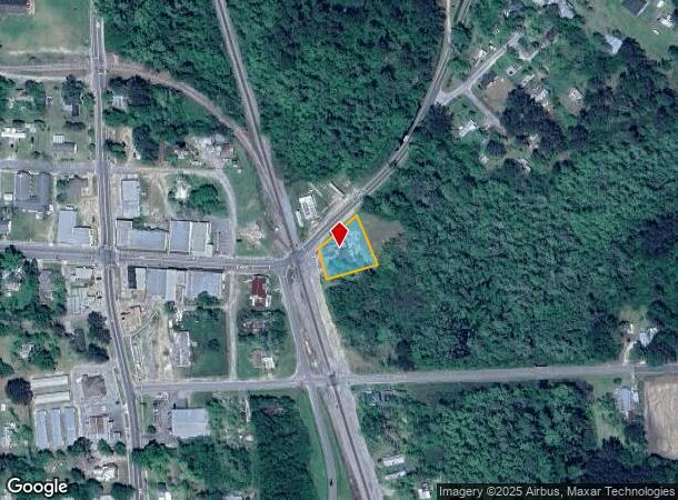
101 Railroad St
Commercialnec
LL 285 9TH LD
AE
Cook
13075C0120D
Georgia
2024
0.53 AC
2024
Georgia South Area
960301
Other Market Areas
2,870 SF
S009-074
DEMOGRAPHICS near 101 Railroad St
1 Mile
3 Mile
5 Mile
2024 Total Population
1,733
8,426
11,595
2029 Population
1,769
8,661
11,913
Pop Growth 2024-2029
+ 2.08%
+ 2.79%
+ 2.74%
Average Age
39
39
39
2024 Total Households
635
3,142
4,299
HH Growth 2024-2029
+ 2.05%
+ 2.74%
+ 2.70%
Median Household Inc
$55,208
$42,214
$45,365
Avg Household Size
2.70
2.60
2.60
2024 Avg HH Vehicles
2.00
2.00
2.00
Median Home Value
$119,520
$112,306
$132,436
Median Year Built
1986
1982
1986
Nearby Places
Map Layers
Map Styles
 Street
 Aerial
- Restaurants
- Banks
- Shops
- Fitness
- Groceries
PUBLIC TRANSPORTATION
AIRPORT
Valdosta Regional
DRIVE
WALK
Distance
Valdosta Regional
38 min
31.4 mi
Freight Ports
Georgia Ports - Brunswick
DRIVE
WALK
Distance
Georgia Ports - Brunswick
171 min
129.2 mi
Nearby Properties
Address
Land Use
TOTAL SIZE
Lot Size
Zoning
Address
Land Use
TOTAL SIZE
Lot Size
Zoning
29,272 SF
100 AC
RP
Address
Land Use
TOTAL SIZE
Lot Size
Zoning
19,129 SF
93.78 AC
B1
Address
Land Use
TOTAL SIZE
Lot Size
Zoning
125,719 SF
10.16 AC
Address
Land Use
TOTAL SIZE
Lot Size
Zoning
11,604 SF
7.43 AC
R10
Address
Land Use
TOTAL SIZE
Lot Size
Zoning
27,830 SF
48.14 AC
B1
Address
Land Use
TOTAL SIZE
Lot Size
Zoning
4,000 SF
265.82 AC
WLI
Address
Land Use
TOTAL SIZE
Lot Size
Zoning
25,346 SF
11.65 AC
WLI
Address
Land Use
TOTAL SIZE
Lot Size
Zoning
46,102 SF
3.67 AC
RP
Address
Land Use
TOTAL SIZE
Lot Size
Zoning
8,188 SF
1.08 AC
RP
Address
Land Use
TOTAL SIZE
Lot Size
Zoning
20,100 SF
5.41 AC
RP
Address
Land Use
TOTAL SIZE
Lot Size
Zoning
5,440 SF
6.48 AC
R8
Address
Land Use
TOTAL SIZE
Lot Size
Zoning
2,718 SF
62.71 AC
GB
Address
Land Use
TOTAL SIZE
Lot Size
Zoning
25,894 SF
2.89 AC
GB
Address
Land Use
TOTAL SIZE
Lot Size
Zoning
1,850 SF
71.40 AC
GB
Address
Land Use
TOTAL SIZE
Lot Size
Zoning
35,550 SF
6.20 AC
GB
Address
Land Use
TOTAL SIZE
Lot Size
Zoning
19,827 SF
0.80 AC
GB
Address
Land Use
TOTAL SIZE
Lot Size
Zoning
25,902 SF
2.79 AC
RP
Address
Land Use
TOTAL SIZE
Lot Size
Zoning
4,420 SF
0.90 AC
RP
Address
Land Use
TOTAL SIZE
Lot Size
Zoning
34,503 SF
3.86 AC
GB
Address
Land Use
TOTAL SIZE
Lot Size
Zoning
9,441 SF
4.95 AC
B1
Address
Land Use
TOTAL SIZE
Lot Size
Zoning
21,600 SF
16.97 AC
Address
Land Use
TOTAL SIZE
Lot Size
Zoning
8,120 SF
6.99 AC
Address
Land Use
TOTAL SIZE
Lot Size
Zoning
15,699 SF
8.97 AC
R10
Address
Land Use
TOTAL SIZE
Lot Size
Zoning
10,500 SF
1.52 AC
RP
Address
Land Use
TOTAL SIZE
Lot Size
Zoning
8,976 SF
2.35 AC
GB
Address
Land Use
TOTAL SIZE
Lot Size
Zoning
14,500 SF
1.47 AC
GB
Address
Land Use
TOTAL SIZE
Lot Size
Zoning
638.62 AC
Address
Land Use
TOTAL SIZE
Lot Size
Zoning
3,000 SF
4.02 AC
R2
Address
Land Use
TOTAL SIZE
Lot Size
Zoning
15,099 SF
5.14 AC
GB
Address
Land Use
TOTAL SIZE
Lot Size
Zoning
6,912 SF
2.97 AC
GB
The World's #1 Commercial Real Estate Marketplace
Connect with us
© 2025 CoStar Group
The information above has been obtained from sources believed reliable. While we do not doubt its accuracy we have not verified it and make no guarantee, warranty or representation about it. It is your responsibility to independently confirm its accuracy and completeness. Any projections, opinions, assumptions, or estimates used are for example only and do not represent the current or future performance of the property. The value of this transaction to you depends on tax and other factors which should be evaluated by your tax, financial, and legal advisors. You and your advisors should conduct a careful, independent investigation of the property to determine to your satisfaction the suitability of the property for your needs.