Property Record
2601 W College Ave, Normal, IL 61761
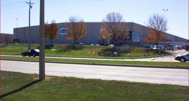


Property Detail
2601 W College Ave
Bloomington, IL
SUB OF LOT 2 ZOOKS ADD LOTS 2 & 3 (EX RD ROW)
13-36-100-011
MCLEAN
Commercialnec
Illinois
B and X Area of moderate flood hazard, usually the area between the limits of the 100-year and 500-year floods.
2,3
2024
15.92 AC
2025
Bloomington/Normal
005201
Other Market Areas
198,016 SF
NEARBY LISTINGS FOR SALE OR LEASE
-
-
View all Normal listings for sale on LoopNet.com
DEMOGRAPHICS near 2601 W College Ave
1 mile
3 mile
5 mile
2025 Total Population
62
14,809
82,886
2030 Population
61
14,728
83,453
Pop Growth 2025-2030
(1.61%)
(0.55%)
+ 0.68%
Average Age
47
38
36
2025 Total Households
25
6,263
33,335
HH Growth 2025-2030
(4.00%)
(0.46%)
+ 0.73%
Median Household Inc
$124,999
$72,269
$58,815
Avg Household Size
2.50
2.30
2.20
2025 Avg HH Vehicles
2.00
2.00
2.00
Median Home Value
$253,571
$187,904
$180,736
Median Year Built
1975
1980
1976
Nearby Places
Map Layers
Map Styles
 Street
 Aerial
Layers
 Traffic
 Biking
Places
Listings with unknown addresses are not visible on the map
- Restaurants
- Banks
- Shops
- Fitness
- Groceries
PUBLIC TRANSPORTATION
COMMUTER RAIL
Drive
Walk
Distance
8 min
4.2 mi
AIRPORT
Central Il Regional/Bloomington-Normal
Drive
Walk
Distance
Central Il Regional/Bloomington-Normal
22 min
9.8 mi
General Downing - Peoria International
Drive
Walk
Distance
General Downing - Peoria International
49 min
40.3 mi
SALE & LEASE HISTORY
LISTING DATE
SALE/LEASE

May 16, 2019
For Lease
May 16, 2019
For Sale
Jul 29, 2021
For Sale
Nearby Properties
Address
Land Use
TOTAL SIZE
Lot Size
Zoning
Address
Land Use
TOTAL SIZE
Lot Size
Zoning
417.42 AC
Address
Land Use
TOTAL SIZE
Lot Size
Zoning
48,629 SF
39 AC
Address
Land Use
TOTAL SIZE
Lot Size
Zoning
432,093 SF
15 AC
Address
Land Use
TOTAL SIZE
Lot Size
Zoning
10.13 AC
R2
Address
Land Use
TOTAL SIZE
Lot Size
Zoning
422,234 SF
23.17 AC
Address
Land Use
TOTAL SIZE
Lot Size
Zoning
309,750 SF
9.85 AC
R-3A
Address
Land Use
TOTAL SIZE
Lot Size
Zoning
351,360 SF
8.40 AC
R-3A
Address
Land Use
TOTAL SIZE
Lot Size
Zoning
34,720 SF
6.14 AC
R3A
Address
Land Use
TOTAL SIZE
Lot Size
Zoning
126,428 SF
3.79 AC
Address
Land Use
TOTAL SIZE
Lot Size
Zoning
196,500 SF
5.07 AC
Address
Land Use
TOTAL SIZE
Lot Size
Zoning
335,377 SF
9.78 AC
Address
Land Use
TOTAL SIZE
Lot Size
Zoning
128,182 SF
10.65 AC
Address
Land Use
TOTAL SIZE
Lot Size
Zoning
181,476 SF
6.70 AC
Address
Land Use
TOTAL SIZE
Lot Size
Zoning
5,569 SF
9.94 AC
Address
Land Use
TOTAL SIZE
Lot Size
Zoning
190,476 SF
14.43 AC
M-1
Address
Land Use
TOTAL SIZE
Lot Size
Zoning
98,824 SF
10.13 AC
Address
Land Use
TOTAL SIZE
Lot Size
Zoning
97,000 SF
7 AC
M-2
Address
Land Use
TOTAL SIZE
Lot Size
Zoning
96,797 SF
6.30 AC
R-3A
Address
Land Use
TOTAL SIZE
Lot Size
Zoning
9,433 SF
5.92 AC
Address
Land Use
TOTAL SIZE
Lot Size
Zoning
159,906 SF
8.09 AC
Address
Land Use
TOTAL SIZE
Lot Size
Zoning
135,176 SF
4.77 AC
R-3A
Address
Land Use
TOTAL SIZE
Lot Size
Zoning
58,308 SF
8.66 AC
Address
Land Use
TOTAL SIZE
Lot Size
Zoning
8.11 AC
Address
Land Use
TOTAL SIZE
Lot Size
Zoning
197,633 SF
11.91 AC
M-1
Address
Land Use
TOTAL SIZE
Lot Size
Zoning
44,650 SF
4.44 AC
R-3A
Address
Land Use
TOTAL SIZE
Lot Size
Zoning
58,904 SF
2.17 AC
Address
Land Use
TOTAL SIZE
Lot Size
Zoning
56,828 SF
1.82 AC
Address
Land Use
TOTAL SIZE
Lot Size
Zoning
59,071 SF
15.02 AC
The World's #1 Commercial Real Estate Marketplace
Connect with us
© 2026 CoStar Group
The information above has been obtained from sources believed reliable. While we do not doubt its accuracy we have not verified it and make no guarantee, warranty or representation about it. It is your responsibility to independently confirm its accuracy and completeness. Any projections, opinions, assumptions, or estimates used are for example only and do not represent the current or future performance of the property. The value of this transaction to you depends on tax and other factors which should be evaluated by your tax, financial, and legal advisors. You and your advisors should conduct a careful, independent investigation of the property to determine to your satisfaction the suitability of the property for your needs.