Property Record
101 W Mitchell St, Milwaukee, WI 53204
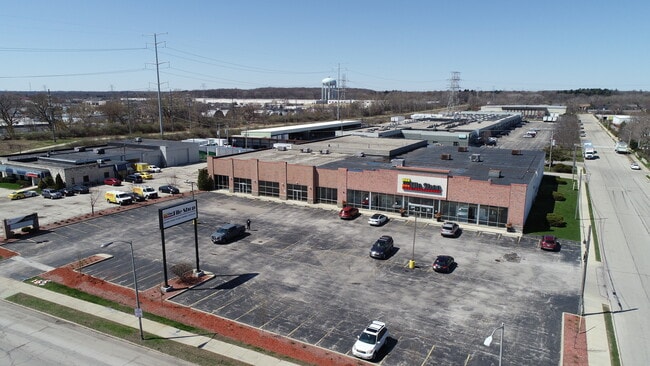

Property Detail
101 W Mitchell St
Milwaukee-Waukesha, WI
MAP 5372 : SILDE 2415 PL 126 DOC 6350475
448-9981-004
Milwaukee
Commercialnec
Wisconsin
B and X Area of moderate flood hazard, usually the area between the limits of the 100-year and 500-year floods.
2
2024
0.57 AC
2024
West Allis
100400
Milwaukee/Madison
NEARBY LISTINGS FOR SALE OR LEASE
-
-
-
-
-
-
-
-
-
-
-
1801-1805 N Dr Martin Luther King Jr Dr
Milwaukee, WI 53212
$280,000 - $760,000
1,721 - 6,714 SF
Retail
-
View all Milwaukee listings for sale on LoopNet.com
DEMOGRAPHICS near 101 W Mitchell St
1 mile
3 mile
5 mile
2025 Total Population
10,976
108,997
283,435
2030 Population
10,952
109,171
282,965
Pop Growth 2025-2030
(0.22%)
+ 0.16%
(0.17%)
Average Age
41
41
41
2025 Total Households
5,235
48,965
122,810
HH Growth 2025-2030
(0.27%)
+ 0.13%
(0.19%)
Median Household Inc
$71,580
$77,068
$81,477
Avg Household Size
2.00
2.10
2.20
2025 Avg HH Vehicles
1.00
2.00
2.00
Median Home Value
$202,118
$253,493
$268,013
Median Year Built
1960
1959
1957
Nearby Places
Map Layers
Map Styles
 Street
 Aerial
Layers
 Traffic
 Biking
Places
Listings with unknown addresses are not visible on the map
- Restaurants
- Banks
- Shops
- Fitness
- Groceries
PUBLIC TRANSPORTATION
COMMUTER RAIL
Milwaukee (Empire Builder - Amtrak)
Drive
Walk
Distance
Milwaukee (Empire Builder - Amtrak)
5 min
2.1 mi
General Mitchell Intl. Airport Amtrak Station (Hiawatha Service - Amtrak)
Drive
Walk
Distance
General Mitchell Intl. Airport Amtrak Station (Hiawatha Service - Amtrak)
13 min
5.7 mi
AIRPORT
General Mitchell International
Drive
Walk
Distance
General Mitchell International
12 min
5.6 mi
Freight Ports
Port Milwaukee
Drive
Walk
Distance
Port Milwaukee
2 min
0.8 mi
SALE & LEASE HISTORY
LISTING DATE
SALE/LEASE

Sep 18, 2017
For Lease
Sep 06, 2022
For Sale
May 11, 2022
For Sale
Mar 08, 2023
For Sale
Jan 22, 2021
For Sale
Dec 07, 2016
For Lease
Nearby Properties
Address
Land Use
TOTAL SIZE
Lot Size
Zoning
Address
Land Use
TOTAL SIZE
Lot Size
Zoning
1,140,196 SF
5.33 AC
C9F(A)
Address
Land Use
TOTAL SIZE
Lot Size
Zoning
8.05 AC
TL
Address
Land Use
TOTAL SIZE
Lot Size
Zoning
730,000 SF
6.94 AC
PD
Address
Land Use
TOTAL SIZE
Lot Size
Zoning
1,330,372 SF
2.48 AC
C9F(A)
Address
Land Use
TOTAL SIZE
Lot Size
Zoning
41.05 AC
IO2
Address
Land Use
TOTAL SIZE
Lot Size
Zoning
715,000 SF
2.71 AC
C9F(B)
Address
Land Use
TOTAL SIZE
Lot Size
Zoning
3.04 AC
TL
Address
Land Use
TOTAL SIZE
Lot Size
Zoning
523,726 SF
0.79 AC
C9B(B)
Address
Land Use
TOTAL SIZE
Lot Size
Zoning
607,577 SF
1.67 AC
PD
Address
Land Use
TOTAL SIZE
Lot Size
Zoning
370,160 SF
2.93 AC
C9F(A)
Address
Land Use
TOTAL SIZE
Lot Size
Zoning
380,817 SF
0.82 AC
C9F(A)
Address
Land Use
TOTAL SIZE
Lot Size
Zoning
362,007 SF
1.02 AC
C9F(A)
Address
Land Use
TOTAL SIZE
Lot Size
Zoning
495,212 SF
0.48 AC
C9F(A)
Address
Land Use
TOTAL SIZE
Lot Size
Zoning
414,410 SF
2.16 AC
C9F(A)
Address
Land Use
TOTAL SIZE
Lot Size
Zoning
280,000 SF
2.74 AC
RED
Address
Land Use
TOTAL SIZE
Lot Size
Zoning
173,610 SF
1.70 AC
IM
Address
Land Use
TOTAL SIZE
Lot Size
Zoning
378,717 SF
0.61 AC
C9D(A)
Address
Land Use
TOTAL SIZE
Lot Size
Zoning
535,904 SF
3.88 AC
C9A(A)
Address
Land Use
TOTAL SIZE
Lot Size
Zoning
491,759 SF
3 AC
C9F(A)
Address
Land Use
TOTAL SIZE
Lot Size
Zoning
272,475 SF
0.66 AC
PD
Address
Land Use
TOTAL SIZE
Lot Size
Zoning
319,559 SF
6.29 AC
PD
Address
Land Use
TOTAL SIZE
Lot Size
Zoning
300,416 SF
1.24 AC
PD
Address
Land Use
TOTAL SIZE
Lot Size
Zoning
4.53 AC
C9F(A)
Address
Land Use
TOTAL SIZE
Lot Size
Zoning
382,921 SF
2.81 AC
PD
Address
Land Use
TOTAL SIZE
Lot Size
Zoning
425,000 SF
1.42 AC
C9F(A)
Address
Land Use
TOTAL SIZE
Lot Size
Zoning
179 AC
IH
Address
Land Use
TOTAL SIZE
Lot Size
Zoning
180,407 SF
0.63 AC
PD
Address
Land Use
TOTAL SIZE
Lot Size
Zoning
534,786 SF
1.81 AC
C9D(A)
Address
Land Use
TOTAL SIZE
Lot Size
Zoning
210,552 SF
2.43 AC
C9D(A)
Address
Land Use
TOTAL SIZE
Lot Size
Zoning
508,168 SF
14.56 AC
C9G
The World's #1 Commercial Real Estate Marketplace
Connect with us
© 2026 CoStar Group
The information above has been obtained from sources believed reliable. While we do not doubt its accuracy we have not verified it and make no guarantee, warranty or representation about it. It is your responsibility to independently confirm its accuracy and completeness. Any projections, opinions, assumptions, or estimates used are for example only and do not represent the current or future performance of the property. The value of this transaction to you depends on tax and other factors which should be evaluated by your tax, financial, and legal advisors. You and your advisors should conduct a careful, independent investigation of the property to determine to your satisfaction the suitability of the property for your needs.