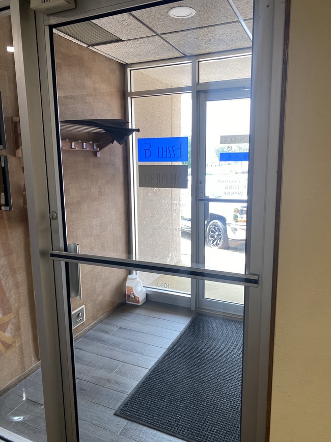
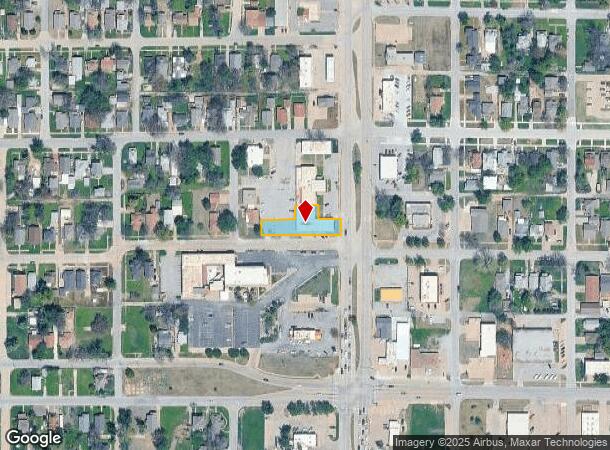
Property Record
1010 W Maple Ave, Enid, OK 73703

NEARBY LISTINGS FOR SALE OR LEASE
-
-
No Photo
-
-
-
-
-
-
View all Enid listings for sale on LoopNet.com
Property Detail
1010 W Maple Ave
Enid, OK
Sunnyside Addition
4580-00-001-003-0-011-00
PART OF L3 & 4 BEG W 50' SE/C L3, N 50', W 50', S 50', E 50' TO BEG - AND - BEG N 50' AND E 3.47'SW/C L4, N 43.08', E 74', S
Officebuilding
Garfield
X
Oklahoma
40047C0194F
3
2024
0.36 AC
2025
Oklahoma West Area
000101
Other Market Areas
6,328 SF
DEMOGRAPHICS near 1010 W Maple Ave
1 Mile
3 Mile
5 Mile
2024 Total Population
7,598
45,903
53,089
2029 Population
7,555
45,266
52,313
Pop Growth 2024-2029
(0.57%)
(1.39%)
(1.46%)
Average Age
37
38
38
2024 Total Households
2,951
17,950
20,497
HH Growth 2024-2029
(0.64%)
(1.45%)
(1.51%)
Median Household Inc
$58,915
$56,834
$58,201
Avg Household Size
2.50
2.50
2.50
2024 Avg HH Vehicles
2.00
2.00
2.00
Median Home Value
$101,371
$137,023
$143,519
Median Year Built
1949
1968
1970
Nearby Places
Map Layers
Map Styles
 Street
 Aerial
- Restaurants
- Banks
- Shops
- Fitness
- Groceries
SALE & LEASE HISTORY
LISTING DATE
SALE/LEASE

Oct 20, 2022
For Sale
Nearby Properties
Address
Land Use
TOTAL SIZE
Lot Size
Zoning
Address
Land Use
TOTAL SIZE
Lot Size
Zoning
16,445 SF
2.49 AC
Address
Land Use
TOTAL SIZE
Lot Size
Zoning
79,801 SF
3.26 AC
Address
Land Use
TOTAL SIZE
Lot Size
Zoning
2,760 SF
157.96 AC
NP
Address
Land Use
TOTAL SIZE
Lot Size
Zoning
84,154 SF
21.81 AC
CR
Address
Land Use
TOTAL SIZE
Lot Size
Zoning
40,172 SF
18.93 AC
Address
Land Use
TOTAL SIZE
Lot Size
Zoning
7,184 SF
7.93 AC
Address
Land Use
TOTAL SIZE
Lot Size
Zoning
207,942 SF
2.07 AC
Address
Land Use
TOTAL SIZE
Lot Size
Zoning
132,603 SF
17.42 AC
Address
Land Use
TOTAL SIZE
Lot Size
Zoning
28,160 SF
2.68 AC
Address
Land Use
TOTAL SIZE
Lot Size
Zoning
169,463 SF
30 AC
Address
Land Use
TOTAL SIZE
Lot Size
Zoning
6,719 SF
24.54 AC
Address
Land Use
TOTAL SIZE
Lot Size
Zoning
87,513 SF
9.15 AC
Address
Land Use
TOTAL SIZE
Lot Size
Zoning
69,406 SF
2.10 AC
Address
Land Use
TOTAL SIZE
Lot Size
Zoning
40,206 SF
3.29 AC
Address
Land Use
TOTAL SIZE
Lot Size
Zoning
67,830 SF
2.94 AC
Address
Land Use
TOTAL SIZE
Lot Size
Zoning
70,020 SF
1.03 AC
Address
Land Use
TOTAL SIZE
Lot Size
Zoning
33,501 SF
2.59 AC
Address
Land Use
TOTAL SIZE
Lot Size
Zoning
80,209 SF
2.94 AC
Address
Land Use
TOTAL SIZE
Lot Size
Zoning
61,567 SF
34 AC
Address
Land Use
TOTAL SIZE
Lot Size
Zoning
75,287 SF
6.34 AC
Address
Land Use
TOTAL SIZE
Lot Size
Zoning
58,909 SF
5.17 AC
Address
Land Use
TOTAL SIZE
Lot Size
Zoning
46,653 SF
2.20 AC
Address
Land Use
TOTAL SIZE
Lot Size
Zoning
51,174 SF
2.20 AC
Address
Land Use
TOTAL SIZE
Lot Size
Zoning
64,600 SF
8.36 AC
Address
Land Use
TOTAL SIZE
Lot Size
Zoning
71,732 SF
3.33 AC
Address
Land Use
TOTAL SIZE
Lot Size
Zoning
33,831 SF
1.33 AC
Address
Land Use
TOTAL SIZE
Lot Size
Zoning
24,787 SF
21.72 AC
Address
Land Use
TOTAL SIZE
Lot Size
Zoning
48,487 SF
1.03 AC
Address
Land Use
TOTAL SIZE
Lot Size
Zoning
44,764 SF
4.35 AC
Address
Land Use
TOTAL SIZE
Lot Size
Zoning
30,997 SF
5.97 AC
The World's #1 Commercial Real Estate Marketplace
Connect with us
© 2025 CoStar Group
The information above has been obtained from sources believed reliable. While we do not doubt its accuracy we have not verified it and make no guarantee, warranty or representation about it. It is your responsibility to independently confirm its accuracy and completeness. Any projections, opinions, assumptions, or estimates used are for example only and do not represent the current or future performance of the property. The value of this transaction to you depends on tax and other factors which should be evaluated by your tax, financial, and legal advisors. You and your advisors should conduct a careful, independent investigation of the property to determine to your satisfaction the suitability of the property for your needs.