Property Record
10100 Colesville Rd, Silver Spring, MD 20901


Property Detail
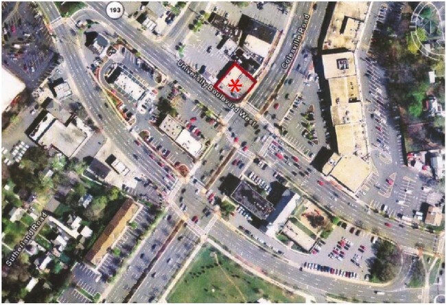
10100 Colesville Rd
13-01216702
INDIAN SPRING VIEW
Storebuilding
Montgomery
CRT22
Maryland
B and X Area of moderate flood hazard, usually the area between the limits of the 100-year and 500-year floods.
p26
2024
0.16 AC
2025
North Silver Spring/Rt 29
703100
Washington, DC
2,356 SF
Washington-Arlington-Alexandria, DC-VA-MD-WV
NEARBY LISTINGS FOR SALE OR LEASE
DEMOGRAPHICS near 10100 Colesville Rd
1 mile
3 mile
5 mile
2025 Total Population
17,170
214,045
516,450
2030 Population
17,531
219,692
531,190
Pop Growth 2025-2030
+ 2.10%
+ 2.64%
+ 2.85%
Average Age
41
38
39
2025 Total Households
5,745
78,822
183,129
HH Growth 2025-2030
+ 1.97%
+ 2.86%
+ 3.17%
Median Household Inc
$184,058
$103,209
$106,434
Avg Household Size
2.90
2.60
2.70
2025 Avg HH Vehicles
2.00
2.00
2.00
Median Home Value
$677,029
$628,570
$579,362
Median Year Built
1951
1963
1963
Nearby Places
Map Layers
Map Styles
 Street
 Aerial
Transit
 Traffic
 Biking
Places
Listings with unknown addresses are not visible on the map
- Restaurants
- Banks
- Shops
- Fitness
- Groceries
PUBLIC TRANSPORTATION
COMMUTER RAIL
Drive
Walk
Distance
8 min
2.8 mi
Drive
Walk
Distance
11 min
5.9 mi
AIRPORT
Ronald Reagan Washington Ntl
Drive
Walk
Distance
Ronald Reagan Washington Ntl
32 min
15.1 mi
Baltimore/Washington International Thurgood Marshall
Drive
Walk
Distance
Baltimore/Washington International Thurgood Marshall
39 min
29.1 mi
Washington Dulles International
Drive
Walk
Distance
Washington Dulles International
45 min
30.1 mi
Freight Ports
Port of Baltimore
Drive
Walk
Distance
Port of Baltimore
43 min
31.7 mi
SALE & LEASE HISTORY
LISTING DATE
SALE/LEASE

Apr 12, 2020
For Lease
Nearby Properties
Address
Land Use
TOTAL SIZE
Lot Size
Zoning
Address
Land Use
TOTAL SIZE
Lot Size
Zoning
70,860 SF
1,616.16 AC
R-1A;UNZON
Address
Land Use
TOTAL SIZE
Lot Size
Zoning
610.61 AC
RE2
Address
Land Use
TOTAL SIZE
Lot Size
Zoning
775,490 SF
14.21 AC
R60
Address
Land Use
TOTAL SIZE
Lot Size
Zoning
1,775,186 SF
75.19 AC
GR1.5
Address
Land Use
TOTAL SIZE
Lot Size
Zoning
1,144,541 SF
30.46 AC
CR2.5
Address
Land Use
TOTAL SIZE
Lot Size
Zoning
919,016 SF
3.25 AC
CR5.0
Address
Land Use
TOTAL SIZE
Lot Size
Zoning
505,000 SF
1.97 AC
CR8.0
Address
Land Use
TOTAL SIZE
Lot Size
Zoning
917,092 SF
17.19 AC
R10
Address
Land Use
TOTAL SIZE
Lot Size
Zoning
487,112 SF
3.19 AC
CR3.0
Address
Land Use
TOTAL SIZE
Lot Size
Zoning
364,000 SF
CR6.0
Address
Land Use
TOTAL SIZE
Lot Size
Zoning
400,000 SF
0.93 AC
CR5.0
Address
Land Use
TOTAL SIZE
Lot Size
Zoning
305,000 SF
1.62 AC
CR5.0
Address
Land Use
TOTAL SIZE
Lot Size
Zoning
756,363 SF
2.66 AC
CR8.0
Address
Land Use
TOTAL SIZE
Lot Size
Zoning
403,200 SF
1.41 AC
CR5.0
Address
Land Use
TOTAL SIZE
Lot Size
Zoning
406,784 SF
1.75 AC
CR3.0
Address
Land Use
TOTAL SIZE
Lot Size
Zoning
590 SF
20.11 AC
LTOE
Address
Land Use
TOTAL SIZE
Lot Size
Zoning
386,567 SF
29.70 AC
R60
Address
Land Use
TOTAL SIZE
Lot Size
Zoning
304,888 SF
1.72 AC
CR5.0
Address
Land Use
TOTAL SIZE
Lot Size
Zoning
310,000 SF
1.01 AC
CR8.0
Address
Land Use
TOTAL SIZE
Lot Size
Zoning
347,098 SF
7.27 AC
R60
Address
Land Use
TOTAL SIZE
Lot Size
Zoning
480,733 SF
2.10 AC
CR8.0
Address
Land Use
TOTAL SIZE
Lot Size
Zoning
460,492 SF
3.56 AC
CR4.0
Address
Land Use
TOTAL SIZE
Lot Size
Zoning
458,546 SF
8.56 AC
R10
Address
Land Use
TOTAL SIZE
Lot Size
Zoning
164,307 SF
16.45 AC
R90
Address
Land Use
TOTAL SIZE
Lot Size
Zoning
664,858 SF
106.79 AC
R90
Address
Land Use
TOTAL SIZE
Lot Size
Zoning
160,000 SF
27.97 AC
R90
Address
Land Use
TOTAL SIZE
Lot Size
Zoning
335,922 SF
1.22 AC
CR8.0
Address
Land Use
TOTAL SIZE
Lot Size
Zoning
540,807 SF
8.73 AC
RH
Address
Land Use
TOTAL SIZE
Lot Size
Zoning
0.85 AC
CR5.0
Address
Land Use
TOTAL SIZE
Lot Size
Zoning
330,040 SF
0.98 AC
CR
The World's #1 Commercial Real Estate Marketplace
Connect with us
© 2026 CoStar Group
The information above has been obtained from sources believed reliable. While we do not doubt its accuracy we have not verified it and make no guarantee, warranty or representation about it. It is your responsibility to independently confirm its accuracy and completeness. Any projections, opinions, assumptions, or estimates used are for example only and do not represent the current or future performance of the property. The value of this transaction to you depends on tax and other factors which should be evaluated by your tax, financial, and legal advisors. You and your advisors should conduct a careful, independent investigation of the property to determine to your satisfaction the suitability of the property for your needs.