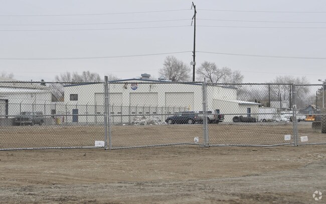
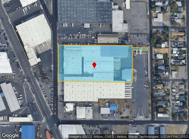
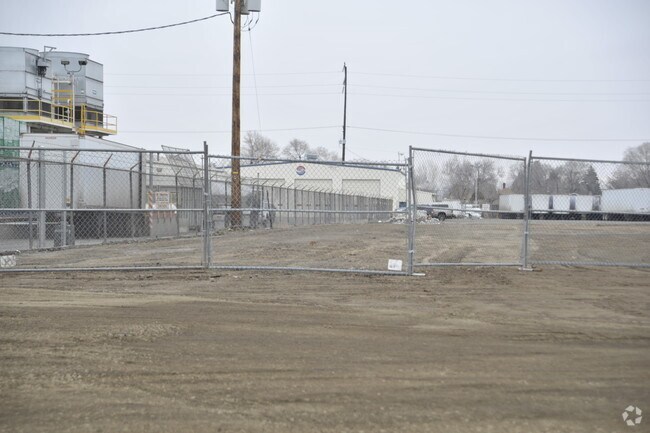
Property Record
1011 S 3Rd Ave, Yakima, WA 98902
NEARBY LISTINGS FOR SALE OR LEASE
Property Detail
1011 S 3Rd Ave
Yakima, WA
Park Add
191330-12005
W1/2 NW1/4 NE1/4, EX S 343.4 FT, & EX W 30 FT FOR STREET, & EX N 637.32 FT, ALSO BEG SW COR LOT 6 BLK G OF SOUTH PARK ADD, TH N 20 FT, TH E 125 FT, TH S 20 FT, TH W 125 FT TO POB, ALSO PTN VAC ALLEY OF SOUTH PARK ADD
Industrialgeneral
Yakima
X
Washington
53077C1053D
6
2025
4.76 AC
2025
Greater Yakima
000700
Yakima
231,397 SF
DEMOGRAPHICS near 1011 S 3Rd Ave
1 Mile
3 Mile
5 Mile
2024 Total Population
15,390
75,476
112,736
2029 Population
15,377
75,720
113,440
Pop Growth 2024-2029
(0.08%)
+ 0.32%
+ 0.62%
Average Age
32
35
37
2024 Total Households
4,727
25,888
40,994
HH Growth 2024-2029
(0.19%)
+ 0.27%
+ 0.63%
Median Household Inc
$39,176
$45,436
$54,946
Avg Household Size
3.10
2.80
2.60
2024 Avg HH Vehicles
2.00
2.00
2.00
Median Home Value
$137,286
$196,720
$248,380
Median Year Built
1956
1964
1971
Nearby Places
Map Layers
Map Styles
 Street
 Aerial
- Restaurants
- Banks
- Shops
- Fitness
- Groceries
PUBLIC TRANSPORTATION
AIRPORT
Yakima Air Trml/McAllister Field
DRIVE
WALK
Distance
Yakima Air Trml/McAllister Field
9 min
3.5 mi
Freight Ports
Port of Tacoma
DRIVE
WALK
Distance
Port of Tacoma
185 min
155.6 mi
Nearby Properties
Address
Land Use
TOTAL SIZE
Lot Size
Zoning
Address
Land Use
TOTAL SIZE
Lot Size
Zoning
390,527 SF
11.86 AC
R3
Address
Land Use
TOTAL SIZE
Lot Size
Zoning
409,453 SF
8.25 AC
R3
Address
Land Use
TOTAL SIZE
Lot Size
Zoning
197,341 SF
36.70 AC
GC
Address
Land Use
TOTAL SIZE
Lot Size
Zoning
326,323 SF
30.05 AC
R2
Address
Land Use
TOTAL SIZE
Lot Size
Zoning
499,230 SF
22.57 AC
M1
Address
Land Use
TOTAL SIZE
Lot Size
Zoning
193,955 SF
9.94 AC
C1
Address
Land Use
TOTAL SIZE
Lot Size
Zoning
474,587 SF
18.06 AC
M1
Address
Land Use
TOTAL SIZE
Lot Size
Zoning
87,068 SF
2.89 AC
CBD
Address
Land Use
TOTAL SIZE
Lot Size
Zoning
208,322 SF
3.69 AC
PUB
Address
Land Use
TOTAL SIZE
Lot Size
Zoning
176,098 SF
1.67 AC
CBD
Address
Land Use
TOTAL SIZE
Lot Size
Zoning
106,878 SF
3.46 AC
RD
Address
Land Use
TOTAL SIZE
Lot Size
Zoning
298,360 SF
15.21 AC
M1
Address
Land Use
TOTAL SIZE
Lot Size
Zoning
329,388 SF
16.13 AC
M1
Address
Land Use
TOTAL SIZE
Lot Size
Zoning
129,042 SF
6.53 AC
R3
Address
Land Use
TOTAL SIZE
Lot Size
Zoning
82,436 SF
11 AC
RD
Address
Land Use
TOTAL SIZE
Lot Size
Zoning
121,488 SF
5.97 AC
R3
Address
Land Use
TOTAL SIZE
Lot Size
Zoning
345,698 SF
3.52 AC
C1
Address
Land Use
TOTAL SIZE
Lot Size
Zoning
100,992 SF
9.15 AC
RD
Address
Land Use
TOTAL SIZE
Lot Size
Zoning
91,856 SF
9.17 AC
RD
Address
Land Use
TOTAL SIZE
Lot Size
Zoning
162,216 SF
11 AC
M1
Address
Land Use
TOTAL SIZE
Lot Size
Zoning
56,505 SF
2.75 AC
C1
Address
Land Use
TOTAL SIZE
Lot Size
Zoning
57,009 SF
212.58 AC
AS
Address
Land Use
TOTAL SIZE
Lot Size
Zoning
97,056 SF
5.80 AC
R3
Address
Land Use
TOTAL SIZE
Lot Size
Zoning
64,171 SF
48.08 AC
PUB
Address
Land Use
TOTAL SIZE
Lot Size
Zoning
327,890 SF
18.44 AC
M1
Address
Land Use
TOTAL SIZE
Lot Size
Zoning
197,263 SF
18.08 AC
C1
Address
Land Use
TOTAL SIZE
Lot Size
Zoning
128,789 SF
6.65 AC
R3
Address
Land Use
TOTAL SIZE
Lot Size
Zoning
135,634 SF
9.84 AC
C1
Address
Land Use
TOTAL SIZE
Lot Size
Zoning
99,000 SF
5.44 AC
C1
Address
Land Use
TOTAL SIZE
Lot Size
Zoning
97,976 SF
3.98 AC
SCC
The World's #1 Commercial Real Estate Marketplace
Connect with us
© 2025 CoStar Group
The information above has been obtained from sources believed reliable. While we do not doubt its accuracy we have not verified it and make no guarantee, warranty or representation about it. It is your responsibility to independently confirm its accuracy and completeness. Any projections, opinions, assumptions, or estimates used are for example only and do not represent the current or future performance of the property. The value of this transaction to you depends on tax and other factors which should be evaluated by your tax, financial, and legal advisors. You and your advisors should conduct a careful, independent investigation of the property to determine to your satisfaction the suitability of the property for your needs.