Property Record
1013 Lower South St, Peekskill, NY 10566

NEARBY LISTINGS FOR SALE OR LEASE
Property Detail
1013 Lower South St
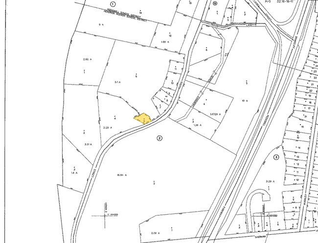
1200-032-020-00002-000-0005-1
Westchester
Industrialgeneral
New York
X
5.001
36119C0018F
2.30 AC
2025
Northwest
2024
Westchester/So Connecticut
014100
New York-Jersey City-White Plains, NY-NJ
DEMOGRAPHICS near 1013 Lower South St
1 Mile
3 Mile
5 Mile
2024 Total Population
5,853
40,463
74,259
2029 Population
5,644
39,312
72,548
Pop Growth 2024-2029
(3.57%)
(2.84%)
(2.30%)
Average Age
40
42
43
2024 Total Households
2,130
14,762
27,141
HH Growth 2024-2029
(3.76%)
(3.09%)
(2.53%)
Median Household Inc
$75,035
$94,284
$105,127
Avg Household Size
2.60
2.60
2.60
2024 Avg HH Vehicles
1.00
2.00
2.00
Median Home Value
$298,125
$392,487
$412,117
Median Year Built
1949
1961
1963
Nearby Places
Map Layers
Map Styles
 Street
 Aerial
- Restaurants
- Banks
- Shops
- Fitness
- Groceries
PUBLIC TRANSPORTATION
COMMUTER RAIL
Peekskill Station (Hudson Line - Metro-North Commuter Railroad Company (Metro-North))
DRIVE
WALK
Distance
Peekskill Station (Hudson Line - Metro-North Commuter Railroad Company (Metro-North))
2 min
16 min
0.9 mi
Cortlandt Station (Hudson Line - Metro-North Commuter Railroad Company (Metro-North))
DRIVE
WALK
Distance
Cortlandt Station (Hudson Line - Metro-North Commuter Railroad Company (Metro-North))
8 min
2.9 mi
AIRPORT
New York Stewart International
DRIVE
WALK
Distance
New York Stewart International
44 min
25.2 mi
Westchester County
DRIVE
WALK
Distance
Westchester County
42 min
26.2 mi
Freight Ports
NY - Red Hook Container Terminal
DRIVE
WALK
Distance
NY - Red Hook Container Terminal
79 min
53.1 mi
Nearby Properties
Address
Land Use
TOTAL SIZE
Lot Size
Zoning
Address
Land Use
TOTAL SIZE
Lot Size
Zoning
Address
Land Use
TOTAL SIZE
Lot Size
Zoning
188.01 AC
Address
Land Use
TOTAL SIZE
Lot Size
Zoning
Address
Land Use
TOTAL SIZE
Lot Size
Zoning
Address
Land Use
TOTAL SIZE
Lot Size
Zoning
157 AC
Address
Land Use
TOTAL SIZE
Lot Size
Zoning
2 AC
RR
Address
Land Use
TOTAL SIZE
Lot Size
Zoning
74.84 AC
Address
Land Use
TOTAL SIZE
Lot Size
Zoning
Address
Land Use
TOTAL SIZE
Lot Size
Zoning
Address
Land Use
TOTAL SIZE
Lot Size
Zoning
Address
Land Use
TOTAL SIZE
Lot Size
Zoning
Address
Land Use
TOTAL SIZE
Lot Size
Zoning
2.70 AC
Address
Land Use
TOTAL SIZE
Lot Size
Zoning
Address
Land Use
TOTAL SIZE
Lot Size
Zoning
Address
Land Use
TOTAL SIZE
Lot Size
Zoning
22.61 AC
Address
Land Use
TOTAL SIZE
Lot Size
Zoning
8.93 AC
Address
Land Use
TOTAL SIZE
Lot Size
Zoning
2.99 AC
Address
Land Use
TOTAL SIZE
Lot Size
Zoning
Address
Land Use
TOTAL SIZE
Lot Size
Zoning
Address
Land Use
TOTAL SIZE
Lot Size
Zoning
Address
Land Use
TOTAL SIZE
Lot Size
Zoning
Address
Land Use
TOTAL SIZE
Lot Size
Zoning
7.50 AC
Address
Land Use
TOTAL SIZE
Lot Size
Zoning
Address
Land Use
TOTAL SIZE
Lot Size
Zoning
23.27 AC
Address
Land Use
TOTAL SIZE
Lot Size
Zoning
48.07 AC
Address
Land Use
TOTAL SIZE
Lot Size
Zoning
26.80 AC
Address
Land Use
TOTAL SIZE
Lot Size
Zoning
Address
Land Use
TOTAL SIZE
Lot Size
Zoning
655.36 AC
Address
Land Use
TOTAL SIZE
Lot Size
Zoning
8.50 AC
Address
Land Use
TOTAL SIZE
Lot Size
Zoning
8.75 AC
The World's #1 Commercial Real Estate Marketplace
Connect with us
© 2025 CoStar Group
The information above has been obtained from sources believed reliable. While we do not doubt its accuracy we have not verified it and make no guarantee, warranty or representation about it. It is your responsibility to independently confirm its accuracy and completeness. Any projections, opinions, assumptions, or estimates used are for example only and do not represent the current or future performance of the property. The value of this transaction to you depends on tax and other factors which should be evaluated by your tax, financial, and legal advisors. You and your advisors should conduct a careful, independent investigation of the property to determine to your satisfaction the suitability of the property for your needs.