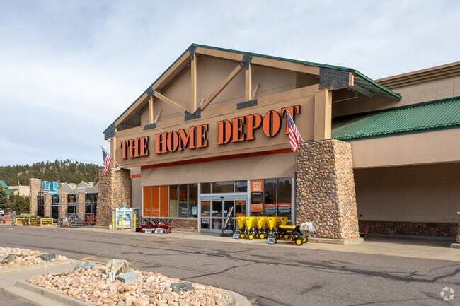
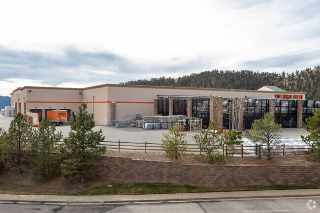
Property Record
1014 El Rancho Rd, Evergreen, CO 80439

Property Detail
1014 El Rancho Rd
41-153-10-004
SECTION 15 TOWNSHIP 04 RANGE 71 QTR SW SUBDIVISIONCD 745008 SUBDIVISIONNAME TEPEES FLG 3 BLOCK LOT 0002 SIZE: 408375 TRACT VALUE: 9.375
Commercialnec
JEFFERSON
C1
Colorado
B and X Area of moderate flood hazard, usually the area between the limits of the 100-year and 500-year floods.
2
2025
9.38 AC
2025
West
009846
Denver
82,457 SF
Denver-Aurora-Centennial, CO
NEARBY LISTINGS FOR SALE OR LEASE
DEMOGRAPHICS near 1014 El Rancho Rd
1 mile
3 mile
5 mile
2025 Total Population
889
9,265
19,846
2030 Population
896
9,258
19,768
Pop Growth 2025-2030
+ 0.79%
(0.08%)
(0.39%)
Average Age
46
46
47
2025 Total Households
341
3,680
8,011
HH Growth 2025-2030
+ 0.59%
(0.16%)
(0.50%)
Median Household Inc
$173,469
$171,358
$170,712
Avg Household Size
2.60
2.50
2.40
2025 Avg HH Vehicles
2.00
2.00
2.00
Median Home Value
$1,079,327
$1,033,224
$988,970
Median Year Built
1992
1986
1984
Nearby Places
Map Layers
Map Styles
 Street
 Aerial
Layers
 Traffic
 Biking
Places
Listings with unknown addresses are not visible on the map
- Restaurants
- Banks
- Shops
- Fitness
- Groceries
Nearby Properties
Address
Land Use
TOTAL SIZE
Lot Size
Zoning
Address
Land Use
TOTAL SIZE
Lot Size
Zoning
57,775 SF
4.47 AC
Address
Land Use
TOTAL SIZE
Lot Size
Zoning
4,655 SF
566.76 AC
CO
Address
Land Use
TOTAL SIZE
Lot Size
Zoning
160,578 SF
15.07 AC
C1
Address
Land Use
TOTAL SIZE
Lot Size
Zoning
46,955 SF
7.84 AC
PD
Address
Land Use
TOTAL SIZE
Lot Size
Zoning
73,516 SF
7.55 AC
C1
Address
Land Use
TOTAL SIZE
Lot Size
Zoning
47,651 SF
5 AC
C1
Address
Land Use
TOTAL SIZE
Lot Size
Zoning
53,739 SF
1.51 AC
MR1
Address
Land Use
TOTAL SIZE
Lot Size
Zoning
89,485 SF
20.01 AC
A2
Address
Land Use
TOTAL SIZE
Lot Size
Zoning
51,200 SF
3.80 AC
PD
Address
Land Use
TOTAL SIZE
Lot Size
Zoning
75,008 SF
2.17 AC
PD
Address
Land Use
TOTAL SIZE
Lot Size
Zoning
41,505 SF
30.15 AC
Address
Land Use
TOTAL SIZE
Lot Size
Zoning
23,349 SF
2.90 AC
Address
Land Use
TOTAL SIZE
Lot Size
Zoning
39,303 SF
3.17 AC
PD
Address
Land Use
TOTAL SIZE
Lot Size
Zoning
27,303 SF
6.99 AC
PD
Address
Land Use
TOTAL SIZE
Lot Size
Zoning
35,631 SF
169.48 AC
PD
Address
Land Use
TOTAL SIZE
Lot Size
Zoning
60,497 SF
5.18 AC
PD
Address
Land Use
TOTAL SIZE
Lot Size
Zoning
47,190 SF
5.22 AC
A1
Address
Land Use
TOTAL SIZE
Lot Size
Zoning
73,388 SF
9.37 AC
PD
Address
Land Use
TOTAL SIZE
Lot Size
Zoning
440 SF
1,177.45 AC
Address
Land Use
TOTAL SIZE
Lot Size
Zoning
28,828 SF
2.73 AC
PD
Address
Land Use
TOTAL SIZE
Lot Size
Zoning
36,402 SF
5.64 AC
PD
Address
Land Use
TOTAL SIZE
Lot Size
Zoning
29,748 SF
257.77 AC
Address
Land Use
TOTAL SIZE
Lot Size
Zoning
53,106 SF
3.19 AC
C1
Address
Land Use
TOTAL SIZE
Lot Size
Zoning
23,124 SF
5 AC
A2
Address
Land Use
TOTAL SIZE
Lot Size
Zoning
39,265 SF
6.07 AC
PD
Address
Land Use
TOTAL SIZE
Lot Size
Zoning
69.37 AC
MR1
Address
Land Use
TOTAL SIZE
Lot Size
Zoning
7,584 SF
58 AC
CO
Address
Land Use
TOTAL SIZE
Lot Size
Zoning
50,544 SF
12.96 AC
A1
Address
Land Use
TOTAL SIZE
Lot Size
Zoning
11,116 SF
2.68 AC
PD
The World's #1 Commercial Real Estate Marketplace
Connect with us
© 2026 CoStar Group
The information above has been obtained from sources believed reliable. While we do not doubt its accuracy we have not verified it and make no guarantee, warranty or representation about it. It is your responsibility to independently confirm its accuracy and completeness. Any projections, opinions, assumptions, or estimates used are for example only and do not represent the current or future performance of the property. The value of this transaction to you depends on tax and other factors which should be evaluated by your tax, financial, and legal advisors. You and your advisors should conduct a careful, independent investigation of the property to determine to your satisfaction the suitability of the property for your needs.