Property Record
10140 S Eastern Ave, Henderson, NV 89052


Property Detail
10140 S Eastern Ave
177-25-312-003
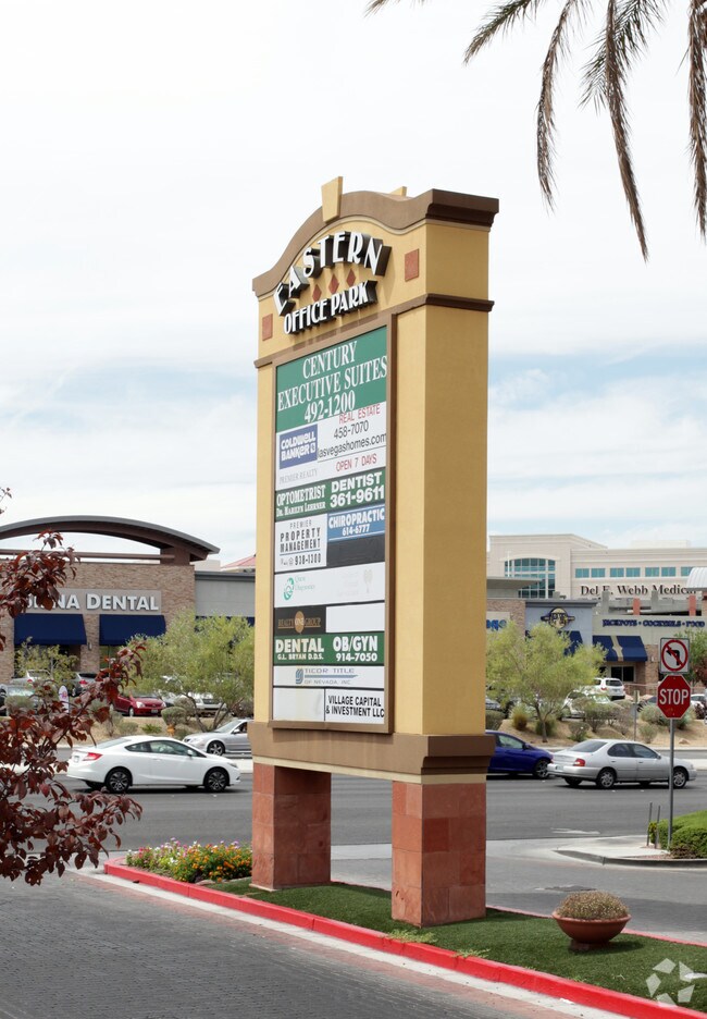
EASTERN MARKET PLACE PLAT BOOK 97 PAGE 6 PT LOT 1
Financialbuilding
Clark
CC
Nevada
B and X Area of moderate flood hazard, usually the area between the limits of the 100-year and 500-year floods.
1
2026
0.57 AC
2026
Southeast Las Vegas
005349
Las Vegas
3,332 SF
Las Vegas-Henderson-North Las Vegas, NV
NEARBY LISTINGS FOR SALE OR LEASE
DEMOGRAPHICS near 10140 S Eastern Ave
1 mile
3 mile
5 mile
2025 Total Population
20,783
154,146
322,502
2030 Population
21,594
161,347
339,587
Pop Growth 2025-2030
+ 3.90%
+ 4.67%
+ 5.30%
Average Age
39
42
43
2025 Total Households
8,646
61,863
131,433
HH Growth 2025-2030
+ 3.90%
+ 4.70%
+ 5.28%
Median Household Inc
$82,375
$91,243
$91,448
Avg Household Size
2.40
2.50
2.40
2025 Avg HH Vehicles
2.00
2.00
2.00
Median Home Value
$571,168
$495,317
$497,058
Median Year Built
2000
1998
1999
Nearby Places
Map Layers
Map Styles
 Street
 Aerial
Transit
 Traffic
 Biking
Places
Listings with unknown addresses are not visible on the map
- Restaurants
- Banks
- Shops
- Fitness
- Groceries
PUBLIC TRANSPORTATION
AIRPORT
Harry Reid International
Drive
Walk
Distance
Harry Reid International
11 min
7.0 mi
Boulder City Municipal
Drive
Walk
Distance
Boulder City Municipal
27 min
18.9 mi
Freight Ports
Port of Long Beach
Drive
Walk
Distance
Port of Long Beach
305 min
273.8 mi
Nearby Properties
Address
Land Use
TOTAL SIZE
Lot Size
Zoning
Address
Land Use
TOTAL SIZE
Lot Size
Zoning
630,906 SF
39.87 AC
CT
Address
Land Use
TOTAL SIZE
Lot Size
Zoning
9,314 SF
23.10 AC
PS
Address
Land Use
TOTAL SIZE
Lot Size
Zoning
882 SF
39.43 AC
Address
Land Use
TOTAL SIZE
Lot Size
Zoning
197,134 SF
24.59 AC
Address
Land Use
TOTAL SIZE
Lot Size
Zoning
1,365 SF
22.68 AC
Address
Land Use
TOTAL SIZE
Lot Size
Zoning
7,177 SF
15.88 AC
Address
Land Use
TOTAL SIZE
Lot Size
Zoning
1,010,035 SF
57.02 AC
IP
Address
Land Use
TOTAL SIZE
Lot Size
Zoning
5,975 SF
18.81 AC
Address
Land Use
TOTAL SIZE
Lot Size
Zoning
362,584 SF
31.86 AC
Address
Land Use
TOTAL SIZE
Lot Size
Zoning
3,528 SF
18.15 AC
RH36
Address
Land Use
TOTAL SIZE
Lot Size
Zoning
4,312 SF
19.42 AC
C:R-4
Address
Land Use
TOTAL SIZE
Lot Size
Zoning
36.85 AC
PS
Address
Land Use
TOTAL SIZE
Lot Size
Zoning
Address
Land Use
TOTAL SIZE
Lot Size
Zoning
438,778 SF
19.30 AC
C:R-4
Address
Land Use
TOTAL SIZE
Lot Size
Zoning
3,990 SF
24.88 AC
RM16
Address
Land Use
TOTAL SIZE
Lot Size
Zoning
Address
Land Use
TOTAL SIZE
Lot Size
Zoning
4,405 SF
19.79 AC
Address
Land Use
TOTAL SIZE
Lot Size
Zoning
18.08 AC
RE
Address
Land Use
TOTAL SIZE
Lot Size
Zoning
4,444 SF
18.11 AC
Address
Land Use
TOTAL SIZE
Lot Size
Zoning
220,694 SF
44.74 AC
Address
Land Use
TOTAL SIZE
Lot Size
Zoning
402,610 SF
15.51 AC
R3
Address
Land Use
TOTAL SIZE
Lot Size
Zoning
22,009 SF
11.53 AC
Address
Land Use
TOTAL SIZE
Lot Size
Zoning
324 SF
7.01 AC
C2
Address
Land Use
TOTAL SIZE
Lot Size
Zoning
371,958 SF
22.85 AC
RM16
Address
Land Use
TOTAL SIZE
Lot Size
Zoning
Address
Land Use
TOTAL SIZE
Lot Size
Zoning
4,444 SF
15.48 AC
H:RH-24
Address
Land Use
TOTAL SIZE
Lot Size
Zoning
213,957 SF
19.68 AC
Address
Land Use
TOTAL SIZE
Lot Size
Zoning
3,850 SF
6.09 AC
R3
Address
Land Use
TOTAL SIZE
Lot Size
Zoning
61,157 SF
2.54 AC
The World's #1 Commercial Real Estate Marketplace
Connect with us
© 2026 CoStar Group
The information above has been obtained from sources believed reliable. While we do not doubt its accuracy we have not verified it and make no guarantee, warranty or representation about it. It is your responsibility to independently confirm its accuracy and completeness. Any projections, opinions, assumptions, or estimates used are for example only and do not represent the current or future performance of the property. The value of this transaction to you depends on tax and other factors which should be evaluated by your tax, financial, and legal advisors. You and your advisors should conduct a careful, independent investigation of the property to determine to your satisfaction the suitability of the property for your needs.