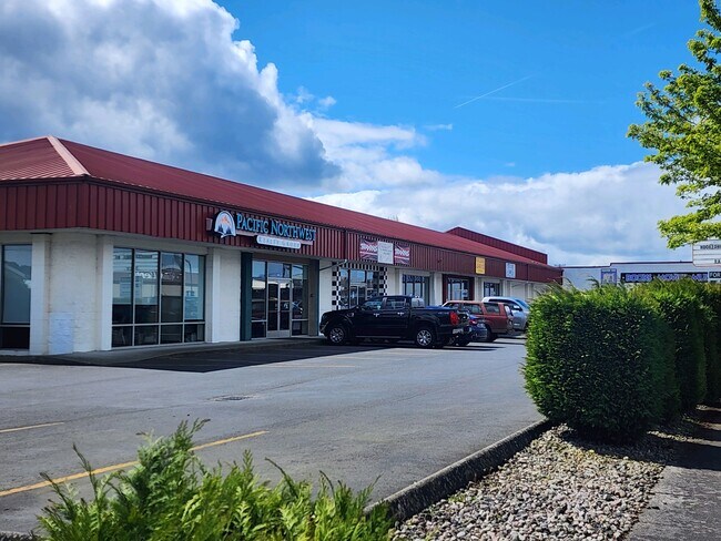
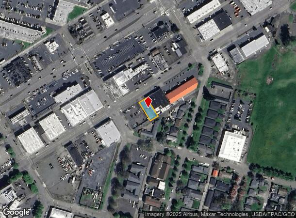
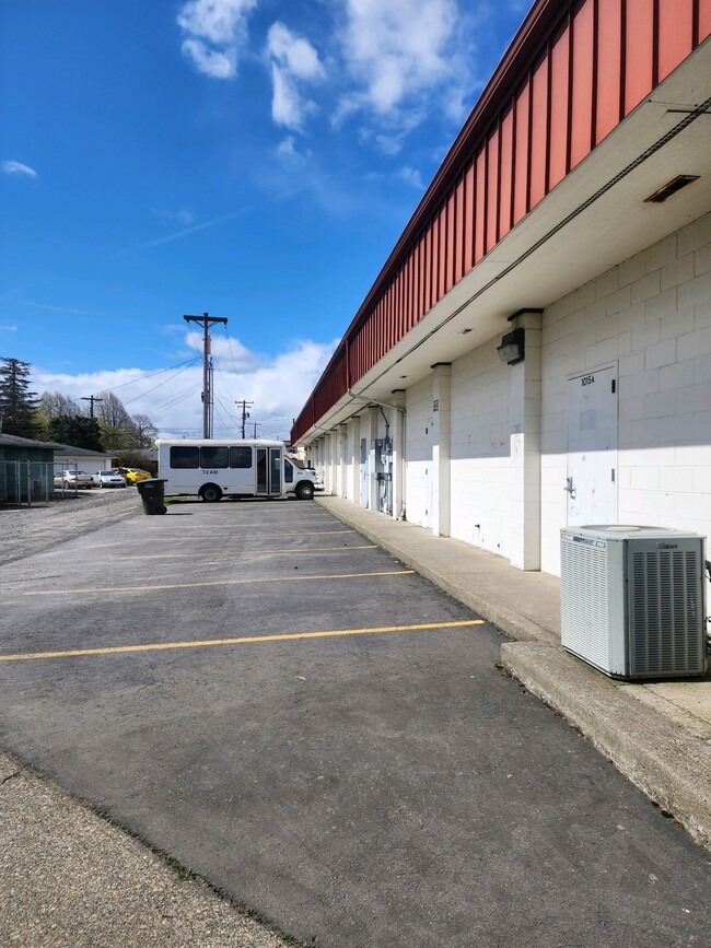
Property Record
1015 Vandercook Way, Longview, WA 98632
NEARBY LISTINGS FOR SALE OR LEASE
Property Detail
1015 Vandercook Way
Longview, WA
Longview 14
0-1850
320 (LONGVIEW 14) -56 -10 27 -8N -2W
Parkinglot
Cowlitz
X
Washington
53015C0518G
10
2025
0.14 AC
2024
Cowlitz County
002100
Portland
DEMOGRAPHICS near 1015 Vandercook Way
1 Mile
3 Mile
5 Mile
2024 Total Population
11,685
54,073
70,984
2029 Population
12,117
55,952
73,487
Pop Growth 2024-2029
+ 3.70%
+ 3.47%
+ 3.53%
Average Age
43
40
41
2024 Total Households
5,345
21,639
28,148
HH Growth 2024-2029
+ 3.93%
+ 3.58%
+ 3.61%
Median Household Inc
$46,924
$58,752
$62,553
Avg Household Size
2.00
2.40
2.40
2024 Avg HH Vehicles
1.00
2.00
2.00
Median Home Value
$323,027
$317,735
$323,922
Median Year Built
1960
1962
1968
Nearby Places
Map Layers
Map Styles
 Street
 Aerial
- Restaurants
- Banks
- Shops
- Fitness
- Groceries
PUBLIC TRANSPORTATION
COMMUTER RAIL
Kelso-Longview (Amtrak Cascades - Amtrak, Coast Starlight - Amtrak)
DRIVE
WALK
Distance
Kelso-Longview (Amtrak Cascades - Amtrak, Coast Starlight - Amtrak)
4 min
1.5 mi
Freight Ports
Port of Long View, WA
DRIVE
WALK
Distance
Port of Long View, WA
8 min
3.0 mi
SALE & LEASE HISTORY
LISTING DATE
SALE/LEASE

May 06, 2020
For Lease
Mar 25, 2020
For Sale
Mar 01, 2024
For Lease
Jun 12, 2025
For Lease
Dec 21, 2023
For Lease
Apr 29, 2019
For Lease
Nearby Properties
Address
Land Use
TOTAL SIZE
Lot Size
Zoning
Address
Land Use
TOTAL SIZE
Lot Size
Zoning
93.25 AC
MH0
Address
Land Use
TOTAL SIZE
Lot Size
Zoning
285.30 AC
MH0
Address
Land Use
TOTAL SIZE
Lot Size
Zoning
84.34 AC
MH0
Address
Land Use
TOTAL SIZE
Lot Size
Zoning
128.42 AC
Address
Land Use
TOTAL SIZE
Lot Size
Zoning
83,033 SF
27.78 AC
R01
Address
Land Use
TOTAL SIZE
Lot Size
Zoning
40.70 AC
MH0
Address
Land Use
TOTAL SIZE
Lot Size
Zoning
13.29 AC
Address
Land Use
TOTAL SIZE
Lot Size
Zoning
Address
Land Use
TOTAL SIZE
Lot Size
Zoning
23.75 AC
M02
Address
Land Use
TOTAL SIZE
Lot Size
Zoning
9,600 SF
26.83 AC
MH0
Address
Land Use
TOTAL SIZE
Lot Size
Zoning
40.41 AC
R02
Address
Land Use
TOTAL SIZE
Lot Size
Zoning
179.05 AC
Address
Land Use
TOTAL SIZE
Lot Size
Zoning
10.12 AC
I01
Address
Land Use
TOTAL SIZE
Lot Size
Zoning
139,660 SF
2.76 AC
Address
Land Use
TOTAL SIZE
Lot Size
Zoning
206,926 SF
4.80 AC
C02
Address
Land Use
TOTAL SIZE
Lot Size
Zoning
1 SF
76.14 AC
MH0
Address
Land Use
TOTAL SIZE
Lot Size
Zoning
2.49 AC
Address
Land Use
TOTAL SIZE
Lot Size
Zoning
28.39 AC
M02
Address
Land Use
TOTAL SIZE
Lot Size
Zoning
1 SF
88.15 AC
M01
Address
Land Use
TOTAL SIZE
Lot Size
Zoning
160,069 SF
20.68 AC
M01
Address
Land Use
TOTAL SIZE
Lot Size
Zoning
158,919 SF
13 AC
SR0
Address
Land Use
TOTAL SIZE
Lot Size
Zoning
25.82 AC
Address
Land Use
TOTAL SIZE
Lot Size
Zoning
106.19 AC
M01
Address
Land Use
TOTAL SIZE
Lot Size
Zoning
141.86 AC
CD0
Address
Land Use
TOTAL SIZE
Lot Size
Zoning
48,368 SF
6.32 AC
RF1
Address
Land Use
TOTAL SIZE
Lot Size
Zoning
8.20 AC
C03
Address
Land Use
TOTAL SIZE
Lot Size
Zoning
1 SF
34.61 AC
Address
Land Use
TOTAL SIZE
Lot Size
Zoning
138,715 SF
7.43 AC
C04
Address
Land Use
TOTAL SIZE
Lot Size
Zoning
157,970 SF
12.36 AC
R01
The World's #1 Commercial Real Estate Marketplace
Connect with us
© 2025 CoStar Group
The information above has been obtained from sources believed reliable. While we do not doubt its accuracy we have not verified it and make no guarantee, warranty or representation about it. It is your responsibility to independently confirm its accuracy and completeness. Any projections, opinions, assumptions, or estimates used are for example only and do not represent the current or future performance of the property. The value of this transaction to you depends on tax and other factors which should be evaluated by your tax, financial, and legal advisors. You and your advisors should conduct a careful, independent investigation of the property to determine to your satisfaction the suitability of the property for your needs.