Property Record
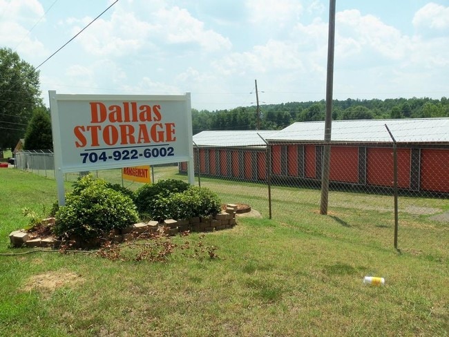
102 Baswell Dr, Dallas, NC 28034


Property Detail
102 Baswell Dr
169995
13 079 010 05 000
Commercialofficeresidentialmixeduse
Gaston
GARG2
North Carolina
C and X Area of minimal flood hazard, usually depicted on FIRMs as above the 500-year flood level.
2.56 AC
2025
Gaston County
2025
Charlotte
030302
Charlotte-Concord-Gastonia, NC-SC
900 SF
NEARBY LISTINGS FOR SALE OR LEASE
-
-
View all Dallas listings for sale on LoopNet.com
DEMOGRAPHICS near 102 Baswell Dr
1 mile
3 mile
5 mile
2025 Total Population
2,351
16,798
56,036
2030 Population
2,452
17,736
59,087
Pop Growth 2025-2030
+ 4.30%
+ 5.58%
+ 5.44%
Average Age
39
39
39
2025 Total Households
939
6,482
21,877
HH Growth 2025-2030
+ 4.47%
+ 5.77%
+ 5.64%
Median Household Inc
$61,765
$60,370
$56,513
Avg Household Size
2.50
2.50
2.40
2025 Avg HH Vehicles
2.00
2.00
2.00
Median Home Value
$287,552
$267,637
$242,278
Median Year Built
1985
1985
1976
Nearby Places
Map Layers
Map Styles
 Street
 Aerial
Layers
 Traffic
 Biking
Places
Listings with unknown addresses are not visible on the map
- Restaurants
- Banks
- Shops
- Fitness
- Groceries
PUBLIC TRANSPORTATION
COMMUTER RAIL
Drive
Walk
Distance
12 min
6.5 mi
AIRPORT
Charlotte/Douglas International
Drive
Walk
Distance
Charlotte/Douglas International
38 min
21.2 mi
Concord-Padgett Regional
Drive
Walk
Distance
Concord-Padgett Regional
51 min
37.6 mi
Nearby Properties
Address
Land Use
TOTAL SIZE
Lot Size
Zoning
Address
Land Use
TOTAL SIZE
Lot Size
Zoning
11,696 SF
159.68 AC
Address
Land Use
TOTAL SIZE
Lot Size
Zoning
312,465 SF
35.23 AC
Address
Land Use
TOTAL SIZE
Lot Size
Zoning
192,315 SF
44.12 AC
INDS1
Address
Land Use
TOTAL SIZE
Lot Size
Zoning
411,076 SF
67.01 AC
INDS2
Address
Land Use
TOTAL SIZE
Lot Size
Zoning
176,657 SF
16.19 AC
Address
Land Use
TOTAL SIZE
Lot Size
Zoning
154,681 SF
63.07 AC
INDS1
Address
Land Use
TOTAL SIZE
Lot Size
Zoning
163,100 SF
41.60 AC
INDS1
Address
Land Use
TOTAL SIZE
Lot Size
Zoning
16,776 SF
49.87 AC
PUB01
Address
Land Use
TOTAL SIZE
Lot Size
Zoning
148,300 SF
12.59 AC
INDS2
Address
Land Use
TOTAL SIZE
Lot Size
Zoning
1,914 SF
15.78 AC
MRKT1
Address
Land Use
TOTAL SIZE
Lot Size
Zoning
3,328 SF
10.16 AC
APT02
Address
Land Use
TOTAL SIZE
Lot Size
Zoning
44,224 SF
3.32 AC
Address
Land Use
TOTAL SIZE
Lot Size
Zoning
2,776 SF
57.41 AC
R1
Address
Land Use
TOTAL SIZE
Lot Size
Zoning
44,132 SF
1.90 AC
MOTL2
Address
Land Use
TOTAL SIZE
Lot Size
Zoning
2,053 SF
15.34 AC
OFF01
Address
Land Use
TOTAL SIZE
Lot Size
Zoning
64,342 SF
18.36 AC
Address
Land Use
TOTAL SIZE
Lot Size
Zoning
115,534 SF
50.10 AC
PUB01
Address
Land Use
TOTAL SIZE
Lot Size
Zoning
70,288 SF
13.42 AC
INDS1
Address
Land Use
TOTAL SIZE
Lot Size
Zoning
36,300 SF
15.83 AC
Address
Land Use
TOTAL SIZE
Lot Size
Zoning
13,602 SF
8.74 AC
Address
Land Use
TOTAL SIZE
Lot Size
Zoning
2,145 SF
10.19 AC
Address
Land Use
TOTAL SIZE
Lot Size
Zoning
77,568 SF
1.65 AC
REST2
Address
Land Use
TOTAL SIZE
Lot Size
Zoning
43,164 SF
11.52 AC
SHOP1
Address
Land Use
TOTAL SIZE
Lot Size
Zoning
15,744 SF
4.10 AC
MOTL1
Address
Land Use
TOTAL SIZE
Lot Size
Zoning
69,540 SF
19.40 AC
PUB01
Address
Land Use
TOTAL SIZE
Lot Size
Zoning
1,448 SF
2.62 AC
Address
Land Use
TOTAL SIZE
Lot Size
Zoning
1,448 SF
4.14 AC
Address
Land Use
TOTAL SIZE
Lot Size
Zoning
864 SF
242.66 AC
GOV01
Address
Land Use
TOTAL SIZE
Lot Size
Zoning
193,964 SF
12.02 AC
INDS2
Address
Land Use
TOTAL SIZE
Lot Size
Zoning
43,320 SF
8.14 AC
The World's #1 Commercial Real Estate Marketplace
Connect with us
© 2026 CoStar Group
The information above has been obtained from sources believed reliable. While we do not doubt its accuracy we have not verified it and make no guarantee, warranty or representation about it. It is your responsibility to independently confirm its accuracy and completeness. Any projections, opinions, assumptions, or estimates used are for example only and do not represent the current or future performance of the property. The value of this transaction to you depends on tax and other factors which should be evaluated by your tax, financial, and legal advisors. You and your advisors should conduct a careful, independent investigation of the property to determine to your satisfaction the suitability of the property for your needs.