Property Record
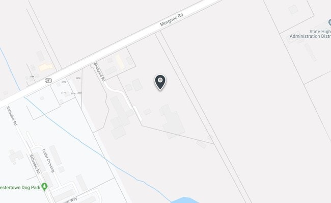
102 Brickyard Rd, Chestertown, MD 21620

Property Detail
102 Brickyard Rd
Warehouse
45.253 AC 101 BRICKYARD RD N/E OF CHESTERTOWN
CC &I
Kent
B and X Area of moderate flood hazard, usually the area between the limits of the 100-year and 500-year floods.
Maryland
2025
11.71 AC
2025
Kent County
950400
Baltimore
10,621 SF
04-000587
NEARBY LISTINGS FOR SALE OR LEASE
-
-
View all Chestertown listings for sale on LoopNet.com
DEMOGRAPHICS near 102 Brickyard Rd
1 mile
3 mile
5 mile
2025 Total Population
2,376
8,870
11,563
2030 Population
2,412
9,123
11,911
Pop Growth 2025-2030
+ 1.52%
+ 2.85%
+ 3.01%
Average Age
48
43
44
2025 Total Households
1,037
3,495
4,611
HH Growth 2025-2030
+ 1.74%
+ 3.06%
+ 3.19%
Median Household Inc
$57,467
$61,173
$70,199
Avg Household Size
2.00
2.20
2.20
2025 Avg HH Vehicles
1.00
2.00
2.00
Median Home Value
$346,861
$340,476
$335,678
Median Year Built
1988
1982
1981
Nearby Places
Map Layers
Map Styles
 Street
 Aerial
Layers
 Traffic
 Biking
Places
Listings with unknown addresses are not visible on the map
- Restaurants
- Banks
- Shops
- Fitness
- Groceries
Nearby Properties
Address
Land Use
TOTAL SIZE
Lot Size
Zoning
Address
Land Use
TOTAL SIZE
Lot Size
Zoning
33,748 SF
87 AC
R-3
Address
Land Use
TOTAL SIZE
Lot Size
Zoning
26,006 SF
61.15 AC
R-2
Address
Land Use
TOTAL SIZE
Lot Size
Zoning
57,976 SF
4.83 AC
RB
Address
Land Use
TOTAL SIZE
Lot Size
Zoning
86,584 SF
6.48 AC
RB
Address
Land Use
TOTAL SIZE
Lot Size
Zoning
21,824 SF
8.13 AC
R-3
Address
Land Use
TOTAL SIZE
Lot Size
Zoning
19,950 SF
15.07 AC
Address
Land Use
TOTAL SIZE
Lot Size
Zoning
31,200 SF
4.81 AC
Address
Land Use
TOTAL SIZE
Lot Size
Zoning
100,000 SF
12.19 AC
Address
Land Use
TOTAL SIZE
Lot Size
Zoning
153,343 SF
13.06 AC
C-1
Address
Land Use
TOTAL SIZE
Lot Size
Zoning
53,811 SF
11.25 AC
C-1
Address
Land Use
TOTAL SIZE
Lot Size
Zoning
11.05 AC
R-3
Address
Land Use
TOTAL SIZE
Lot Size
Zoning
64,534 SF
22.80 AC
C-1
Address
Land Use
TOTAL SIZE
Lot Size
Zoning
19,990 SF
31.23 AC
I
Address
Land Use
TOTAL SIZE
Lot Size
Zoning
44,074 SF
18.53 AC
Address
Land Use
TOTAL SIZE
Lot Size
Zoning
29,000 SF
4.47 AC
R-3
Address
Land Use
TOTAL SIZE
Lot Size
Zoning
41,046 SF
5.11 AC
R-3
Address
Land Use
TOTAL SIZE
Lot Size
Zoning
20,897 SF
2.88 AC
R3/R4
Address
Land Use
TOTAL SIZE
Lot Size
Zoning
20,244 SF
13.38 AC
R-2
Address
Land Use
TOTAL SIZE
Lot Size
Zoning
8,109 SF
2.87 AC
CM
Address
Land Use
TOTAL SIZE
Lot Size
Zoning
11,152 SF
5 AC
I
Address
Land Use
TOTAL SIZE
Lot Size
Zoning
9,884 SF
2.73 AC
HI-1
Address
Land Use
TOTAL SIZE
Lot Size
Zoning
43,200 SF
5.99 AC
C-1
Address
Land Use
TOTAL SIZE
Lot Size
Zoning
48,176 SF
6.35 AC
LI
Address
Land Use
TOTAL SIZE
Lot Size
Zoning
46,431 SF
2.66 AC
C-1
Address
Land Use
TOTAL SIZE
Lot Size
Zoning
72,000 SF
8 AC
LI-2
Address
Land Use
TOTAL SIZE
Lot Size
Zoning
66,271 SF
15 AC
Address
Land Use
TOTAL SIZE
Lot Size
Zoning
46,810 SF
6.40 AC
Address
Land Use
TOTAL SIZE
Lot Size
Zoning
5,733 SF
3.93 AC
CC
Address
Land Use
TOTAL SIZE
Lot Size
Zoning
2,925 SF
1.77 AC
C-1
The World's #1 Commercial Real Estate Marketplace
Connect with us
© 2026 CoStar Group
The information above has been obtained from sources believed reliable. While we do not doubt its accuracy we have not verified it and make no guarantee, warranty or representation about it. It is your responsibility to independently confirm its accuracy and completeness. Any projections, opinions, assumptions, or estimates used are for example only and do not represent the current or future performance of the property. The value of this transaction to you depends on tax and other factors which should be evaluated by your tax, financial, and legal advisors. You and your advisors should conduct a careful, independent investigation of the property to determine to your satisfaction the suitability of the property for your needs.