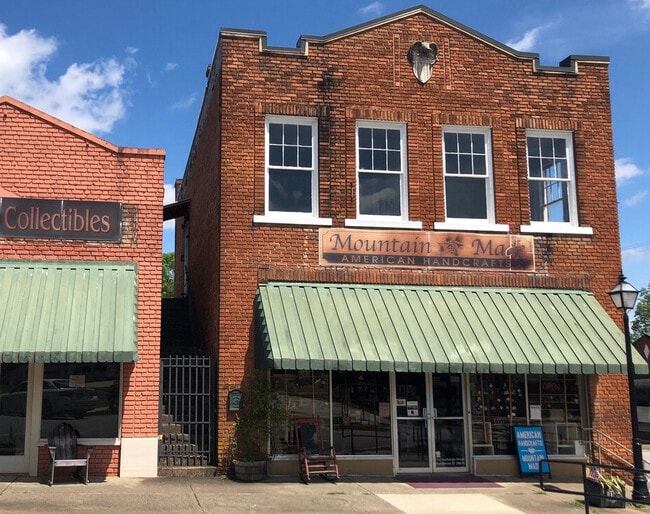
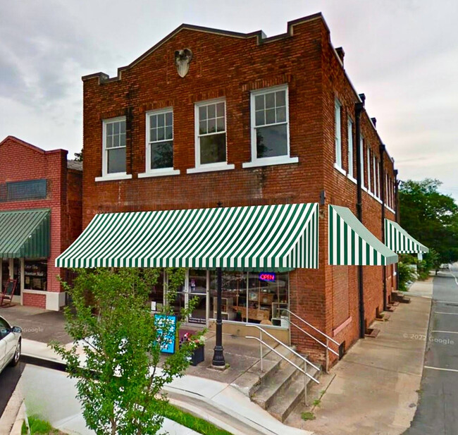
Property Record
102 Exchange St, Pendleton, SC 29670

Current Lease Availabilities
Property Detail
102 Exchange St
040-10-11-001
CP S 2714/9 PP 000/000 F 0030D 0100 PP 000/000 EXCHANGE ST
Storebuilding
Anderson
B and X Area of moderate flood hazard, usually the area between the limits of the 100-year and 500-year floods.
South Carolina
2025
0.07 AC
2025
Anderson Cy N of I-85
010701
Greenville/Spartanburg
3,973 SF
Greenville-Anderson-Greer, SC
NEARBY LISTINGS FOR SALE OR LEASE
DEMOGRAPHICS near 102 Exchange St
1 mile
3 mile
5 mile
2025 Total Population
3,541
14,502
38,793
2030 Population
3,796
15,311
40,330
Pop Growth 2025-2030
+ 7.20%
+ 5.58%
+ 3.96%
Average Age
41
39
34
2025 Total Households
1,597
6,002
14,643
HH Growth 2025-2030
+ 7.64%
+ 6.20%
+ 4.60%
Median Household Inc
$69,862
$69,475
$55,582
Avg Household Size
2.20
2.20
2.30
2025 Avg HH Vehicles
2.00
2.00
2.00
Median Home Value
$241,375
$292,699
$282,040
Median Year Built
1990
1991
1991
Nearby Places
Map Layers
Map Styles
 Street
 Aerial
Layers
 Traffic
 Biking
Places
Listings with unknown addresses are not visible on the map
- Restaurants
- Banks
- Shops
- Fitness
- Groceries
PUBLIC TRANSPORTATION
COMMUTER RAIL
Clemson Amtrak Station (Crescent - Amtrak)
Drive
Walk
Distance
Clemson Amtrak Station (Crescent - Amtrak)
8 min
4.2 mi
Freight Ports
Georgia Ports - Savannah
Drive
Walk
Distance
Georgia Ports - Savannah
312 min
223.4 mi
Nearby Properties
Address
Land Use
TOTAL SIZE
Lot Size
Zoning
Address
Land Use
TOTAL SIZE
Lot Size
Zoning
61,130 SF
19.26 AC
PD
Address
Land Use
TOTAL SIZE
Lot Size
Zoning
7,692 SF
0.40 AC
RIL
Address
Land Use
TOTAL SIZE
Lot Size
Zoning
254,000 SF
94.59 AC
Address
Land Use
TOTAL SIZE
Lot Size
Zoning
6,000 SF
0.99 AC
Address
Land Use
TOTAL SIZE
Lot Size
Zoning
2,764 SF
17.46 AC
Address
Land Use
TOTAL SIZE
Lot Size
Zoning
36.40 AC
RM 1 TWO F
Address
Land Use
TOTAL SIZE
Lot Size
Zoning
54,244 SF
1.17 AC
RIL
Address
Land Use
TOTAL SIZE
Lot Size
Zoning
11.42 AC
Address
Land Use
TOTAL SIZE
Lot Size
Zoning
29,631 SF
5.22 AC
PDD
Address
Land Use
TOTAL SIZE
Lot Size
Zoning
Address
Land Use
TOTAL SIZE
Lot Size
Zoning
191,000 SF
36.59 AC
RM 3 MULTI
Address
Land Use
TOTAL SIZE
Lot Size
Zoning
64,306 SF
0.96 AC
RIL
Address
Land Use
TOTAL SIZE
Lot Size
Zoning
5,484.32 AC
Address
Land Use
TOTAL SIZE
Lot Size
Zoning
121,807 SF
15.27 AC
PD
Address
Land Use
TOTAL SIZE
Lot Size
Zoning
14,865 SF
4.63 AC
PD
Address
Land Use
TOTAL SIZE
Lot Size
Zoning
75,260 SF
2.20 AC
Address
Land Use
TOTAL SIZE
Lot Size
Zoning
11,881 SF
14.21 AC
Address
Land Use
TOTAL SIZE
Lot Size
Zoning
37,888 SF
2.93 AC
RM 2 TWO F
Address
Land Use
TOTAL SIZE
Lot Size
Zoning
1.52 AC
Address
Land Use
TOTAL SIZE
Lot Size
Zoning
0.49 AC
CP 2 COMMU
Address
Land Use
TOTAL SIZE
Lot Size
Zoning
32,768 SF
5.88 AC
RM 2 TWO F
Address
Land Use
TOTAL SIZE
Lot Size
Zoning
17,676 SF
0.55 AC
RIL
Address
Land Use
TOTAL SIZE
Lot Size
Zoning
5.39 AC
NOT ZONED
Address
Land Use
TOTAL SIZE
Lot Size
Zoning
14,568 SF
8.25 AC
Address
Land Use
TOTAL SIZE
Lot Size
Zoning
20,000 SF
14.18 AC
Address
Land Use
TOTAL SIZE
Lot Size
Zoning
14,706 SF
8.48 AC
Address
Land Use
TOTAL SIZE
Lot Size
Zoning
32,524 SF
0.33 AC
RIL
Address
Land Use
TOTAL SIZE
Lot Size
Zoning
12.65 AC
R 20 SINGL
Address
Land Use
TOTAL SIZE
Lot Size
Zoning
1.27 AC
R 20 SINGL
The World's #1 Commercial Real Estate Marketplace
Connect with us
© 2026 CoStar Group
The information above has been obtained from sources believed reliable. While we do not doubt its accuracy we have not verified it and make no guarantee, warranty or representation about it. It is your responsibility to independently confirm its accuracy and completeness. Any projections, opinions, assumptions, or estimates used are for example only and do not represent the current or future performance of the property. The value of this transaction to you depends on tax and other factors which should be evaluated by your tax, financial, and legal advisors. You and your advisors should conduct a careful, independent investigation of the property to determine to your satisfaction the suitability of the property for your needs.