Property Record
102 Main St E, Young America, MN 55397
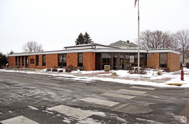


Property Detail
102 Main St E
Minneapolis-St. Paul-Bloomington, MN-WI
W 87' OF LOTS 1 & 2 & 3 OLD # 95.0500370
58.0510350
Carver
Officebuilding
Minnesota
B and X Area of moderate flood hazard, usually the area between the limits of the 100-year and 500-year floods.
1-3
0
0.39 AC
2026
Carver County Outlying
091201
Minneapolis/St Paul
2,992 SF
NEARBY LISTINGS FOR SALE OR LEASE
DEMOGRAPHICS near 102 Main St E
1 mile
3 mile
5 mile
2025 Total Population
2,253
4,537
6,447
2030 Population
2,331
4,701
6,713
Pop Growth 2025-2030
+ 3.46%
+ 3.61%
+ 4.13%
Average Age
41
42
42
2025 Total Households
903
1,819
2,546
HH Growth 2025-2030
+ 3.77%
+ 3.90%
+ 4.40%
Median Household Inc
$72,793
$70,471
$80,307
Avg Household Size
2.50
2.50
2.50
2025 Avg HH Vehicles
2.00
2.00
2.00
Median Home Value
$320,990
$312,793
$332,220
Median Year Built
1977
1983
1980
Nearby Places
Map Layers
Map Styles
 Street
 Aerial
Layers
 Traffic
 Biking
Places
Listings with unknown addresses are not visible on the map
- Restaurants
- Banks
- Shops
- Fitness
- Groceries
PUBLIC TRANSPORTATION
AIRPORT
Minneapolis-St Paul International/Wold-Chamberlain
Drive
Walk
Distance
Minneapolis-St Paul International/Wold-Chamberlain
53 min
40.1 mi
Nearby Properties
Address
Land Use
TOTAL SIZE
Lot Size
Zoning
Address
Land Use
TOTAL SIZE
Lot Size
Zoning
28,671 SF
12.31 AC
Address
Land Use
TOTAL SIZE
Lot Size
Zoning
79,492 SF
17.30 AC
Address
Land Use
TOTAL SIZE
Lot Size
Zoning
Address
Land Use
TOTAL SIZE
Lot Size
Zoning
Address
Land Use
TOTAL SIZE
Lot Size
Zoning
23,352 SF
0.54 AC
Address
Land Use
TOTAL SIZE
Lot Size
Zoning
30,766 SF
3.78 AC
Address
Land Use
TOTAL SIZE
Lot Size
Zoning
Address
Land Use
TOTAL SIZE
Lot Size
Zoning
43,407 SF
3.62 AC
Address
Land Use
TOTAL SIZE
Lot Size
Zoning
13,208 SF
1.11 AC
Address
Land Use
TOTAL SIZE
Lot Size
Zoning
73,810 SF
1.67 AC
Address
Land Use
TOTAL SIZE
Lot Size
Zoning
10,656 SF
0.59 AC
Address
Land Use
TOTAL SIZE
Lot Size
Zoning
8,356 SF
190.20 AC
Address
Land Use
TOTAL SIZE
Lot Size
Zoning
49,002 SF
2.03 AC
Address
Land Use
TOTAL SIZE
Lot Size
Zoning
Address
Land Use
TOTAL SIZE
Lot Size
Zoning
8,580 SF
3.27 AC
Address
Land Use
TOTAL SIZE
Lot Size
Zoning
8,580 SF
1.01 AC
Address
Land Use
TOTAL SIZE
Lot Size
Zoning
21,665 SF
0.47 AC
Address
Land Use
TOTAL SIZE
Lot Size
Zoning
7,002 SF
1.93 AC
Address
Land Use
TOTAL SIZE
Lot Size
Zoning
12,160 SF
1.54 AC
Address
Land Use
TOTAL SIZE
Lot Size
Zoning
12,574 SF
1.27 AC
Address
Land Use
TOTAL SIZE
Lot Size
Zoning
16,666 SF
2.03 AC
Address
Land Use
TOTAL SIZE
Lot Size
Zoning
3,993 SF
2.02 AC
Address
Land Use
TOTAL SIZE
Lot Size
Zoning
Address
Land Use
TOTAL SIZE
Lot Size
Zoning
9,460 SF
0.21 AC
Address
Land Use
TOTAL SIZE
Lot Size
Zoning
Address
Land Use
TOTAL SIZE
Lot Size
Zoning
38,368 SF
6.16 AC
Address
Land Use
TOTAL SIZE
Lot Size
Zoning
9,353 SF
2.30 AC
Address
Land Use
TOTAL SIZE
Lot Size
Zoning
5,956 SF
3.96 AC
Address
Land Use
TOTAL SIZE
Lot Size
Zoning
2,505 SF
6.34 AC
Address
Land Use
TOTAL SIZE
Lot Size
Zoning
The World's #1 Commercial Real Estate Marketplace
Connect with us
© 2026 CoStar Group
The information above has been obtained from sources believed reliable. While we do not doubt its accuracy we have not verified it and make no guarantee, warranty or representation about it. It is your responsibility to independently confirm its accuracy and completeness. Any projections, opinions, assumptions, or estimates used are for example only and do not represent the current or future performance of the property. The value of this transaction to you depends on tax and other factors which should be evaluated by your tax, financial, and legal advisors. You and your advisors should conduct a careful, independent investigation of the property to determine to your satisfaction the suitability of the property for your needs.