Property Record
102 Maple St, O Fallon, IL 62269

Save to a Folder
{{folder.Name}}
{{folder.ListingIds.length}} Properties
{{folder.ListingIds.length}} Property
Create a New Folder
Property Detail
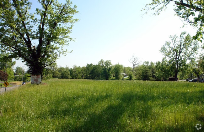
102 Maple St
St. Louis, MO-IL
SHILOH VALLEY TWP SECTION 5 LOT/SEC-5-SUBL/TWP-1N-BLK/RG-7W PT NE SE & PT E 1/2 A02166466
09-05.0-406-026
ST. CLAIR
Taxexempt
Illinois
0
4.55 AC
2024
Illinois
503907
St. Louis
NEARBY LISTINGS FOR SALE OR LEASE
DEMOGRAPHICS near 102 Maple St
1 mile
3 mile
5 mile
2025 Total Population
2,756
34,018
76,721
2030 Population
2,705
33,367
74,846
Pop Growth 2025-2030
(1.85%)
(1.91%)
(2.44%)
Average Age
41
38
39
2025 Total Households
1,124
13,560
30,479
HH Growth 2025-2030
(1.87%)
(2.13%)
(2.55%)
Median Household Inc
$88,310
$91,300
$94,275
Avg Household Size
2.40
2.50
2.50
2025 Avg HH Vehicles
2.00
2.00
2.00
Median Home Value
$267,206
$254,122
$249,385
Median Year Built
1995
1992
1990
Nearby Places
Map Layers
Map Styles
 Street
 Aerial
Layers
 Traffic
 Biking
Places
Listings with unknown addresses are not visible on the map
- Restaurants
- Banks
- Shops
- Fitness
- Groceries
PUBLIC TRANSPORTATION
COMMUTER RAIL
Shiloh-Scott (Lambert Airport Shiloh-Scott - St. Louis MetroLink (MetroLink))
Drive
Walk
Distance
Shiloh-Scott (Lambert Airport Shiloh-Scott - St. Louis MetroLink (MetroLink))
5 min
2.8 mi
College (Lambert Airport Shiloh-Scott - St. Louis MetroLink (MetroLink))
Drive
Walk
Distance
College (Lambert Airport Shiloh-Scott - St. Louis MetroLink (MetroLink))
10 min
4.9 mi
AIRPORT
Scott AFB/Midamerica St Louis
Drive
Walk
Distance
Scott AFB/Midamerica St Louis
14 min
5.3 mi
St Louis Lambert International
Drive
Walk
Distance
St Louis Lambert International
45 min
31.8 mi
Freight Ports
Port Milwaukee
Drive
Walk
Distance
Port Milwaukee
419 min
365.2 mi
Nearby Properties
Address
Land Use
TOTAL SIZE
Lot Size
Zoning
Address
Land Use
TOTAL SIZE
Lot Size
Zoning
70,515 SF
27.95 AC
Address
Land Use
TOTAL SIZE
Lot Size
Zoning
Address
Land Use
TOTAL SIZE
Lot Size
Zoning
9,384 SF
15.93 AC
Address
Land Use
TOTAL SIZE
Lot Size
Zoning
2,937 SF
16.68 AC
Address
Land Use
TOTAL SIZE
Lot Size
Zoning
Address
Land Use
TOTAL SIZE
Lot Size
Zoning
17,676 SF
3.09 AC
Address
Land Use
TOTAL SIZE
Lot Size
Zoning
167,235 SF
18.91 AC
Address
Land Use
TOTAL SIZE
Lot Size
Zoning
Address
Land Use
TOTAL SIZE
Lot Size
Zoning
10.08 AC
Address
Land Use
TOTAL SIZE
Lot Size
Zoning
Address
Land Use
TOTAL SIZE
Lot Size
Zoning
3.24 AC
Address
Land Use
TOTAL SIZE
Lot Size
Zoning
29,906 SF
4.24 AC
Address
Land Use
TOTAL SIZE
Lot Size
Zoning
8,141 SF
16.74 AC
Address
Land Use
TOTAL SIZE
Lot Size
Zoning
Address
Land Use
TOTAL SIZE
Lot Size
Zoning
9.63 AC
Address
Land Use
TOTAL SIZE
Lot Size
Zoning
1.94 AC
Address
Land Use
TOTAL SIZE
Lot Size
Zoning
81.90 AC
Address
Land Use
TOTAL SIZE
Lot Size
Zoning
Address
Land Use
TOTAL SIZE
Lot Size
Zoning
37,197 SF
6.20 AC
Address
Land Use
TOTAL SIZE
Lot Size
Zoning
37,201 SF
4.52 AC
Address
Land Use
TOTAL SIZE
Lot Size
Zoning
125,576 SF
3.48 AC
Address
Land Use
TOTAL SIZE
Lot Size
Zoning
3.57 AC
Address
Land Use
TOTAL SIZE
Lot Size
Zoning
11,100 SF
1.53 AC
Address
Land Use
TOTAL SIZE
Lot Size
Zoning
17,290 SF
2.51 AC
Address
Land Use
TOTAL SIZE
Lot Size
Zoning
Address
Land Use
TOTAL SIZE
Lot Size
Zoning
28,329 SF
3.08 AC
Address
Land Use
TOTAL SIZE
Lot Size
Zoning
Address
Land Use
TOTAL SIZE
Lot Size
Zoning
Address
Land Use
TOTAL SIZE
Lot Size
Zoning
3,840 SF
6.48 AC
Address
Land Use
TOTAL SIZE
Lot Size
Zoning
12,298 SF
4 AC
The World's #1 Commercial Real Estate Marketplace
Connect with us
© 2026 CoStar Group
The information above has been obtained from sources believed reliable. While we do not doubt its accuracy we have not verified it and make no guarantee, warranty or representation about it. It is your responsibility to independently confirm its accuracy and completeness. Any projections, opinions, assumptions, or estimates used are for example only and do not represent the current or future performance of the property. The value of this transaction to you depends on tax and other factors which should be evaluated by your tax, financial, and legal advisors. You and your advisors should conduct a careful, independent investigation of the property to determine to your satisfaction the suitability of the property for your needs.