Property Record
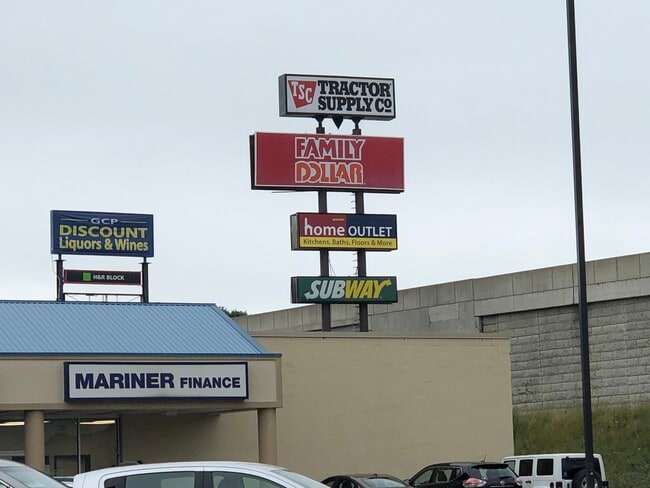
1020 Center St, Horseheads, NY 14845


NEARBY LISTINGS FOR SALE OR LEASE
Property Detail
1020 Center St
Elmira, NY
Chemung
073401-059-013-0003-003-000-0000
New York
Regionalshoppingcenterormallwithanchorstore
3.000
2025
20.60 AC
2024
Ithaca/Elmira
010500
Other Market Areas
248,126 SF
DEMOGRAPHICS near 1020 Center St
1 Mile
3 Mile
5 Mile
2024 Total Population
3,833
19,879
41,758
2029 Population
3,728
19,220
40,708
Pop Growth 2024-2029
(2.74%)
(3.32%)
(2.51%)
Average Age
42
44
42
2024 Total Households
1,874
8,671
17,703
HH Growth 2024-2029
(2.83%)
(3.41%)
(2.54%)
Median Household Inc
$50,318
$62,522
$55,675
Avg Household Size
2.00
2.20
2.20
2024 Avg HH Vehicles
2.00
2.00
2.00
Median Home Value
$107,895
$150,756
$140,019
Median Year Built
1958
1961
1956
Nearby Places
Map Layers
Map Styles
 Street
 Aerial
- Restaurants
- Banks
- Shops
- Fitness
- Groceries
PUBLIC TRANSPORTATION
AIRPORT
Elmira/Corning Regional
DRIVE
WALK
Distance
Elmira/Corning Regional
10 min
6.1 mi
Ithaca Tompkins International
DRIVE
WALK
Distance
Ithaca Tompkins International
49 min
34.6 mi
Freight Ports
Albany, NY Port
DRIVE
WALK
Distance
Albany, NY Port
237 min
198.9 mi
SALE & LEASE HISTORY
LISTING DATE
SALE/LEASE

Sep 25, 2016
For Lease
Oct 12, 2021
For Sale
Mar 28, 2017
For Lease
Feb 19, 2020
For Lease
Nearby Properties
Address
Land Use
TOTAL SIZE
Lot Size
Zoning
Address
Land Use
TOTAL SIZE
Lot Size
Zoning
59 AC
UNZONED
Address
Land Use
TOTAL SIZE
Lot Size
Zoning
464,844 SF
180.98 AC
VH08
Address
Land Use
TOTAL SIZE
Lot Size
Zoning
111,633 SF
30.02 AC
05 - COMME
Address
Land Use
TOTAL SIZE
Lot Size
Zoning
150,280 SF
14.32 AC
VH08
Address
Land Use
TOTAL SIZE
Lot Size
Zoning
60,899 SF
207.30 AC
TH02
Address
Land Use
TOTAL SIZE
Lot Size
Zoning
6,718 SF
83.70 AC
06 - INDUS
Address
Land Use
TOTAL SIZE
Lot Size
Zoning
9,600 SF
87 AC
VH08
Address
Land Use
TOTAL SIZE
Lot Size
Zoning
213,707 SF
21.34 AC
TH08
Address
Land Use
TOTAL SIZE
Lot Size
Zoning
53,096 SF
10.32 AC
TH08
Address
Land Use
TOTAL SIZE
Lot Size
Zoning
Address
Land Use
TOTAL SIZE
Lot Size
Zoning
1,568 SF
51.28 AC
06 - INDUS
Address
Land Use
TOTAL SIZE
Lot Size
Zoning
21.68 AC
02 - SINGL
Address
Land Use
TOTAL SIZE
Lot Size
Zoning
83,020 SF
5.89 AC
06 - INDUS
Address
Land Use
TOTAL SIZE
Lot Size
Zoning
Address
Land Use
TOTAL SIZE
Lot Size
Zoning
13,612 SF
15.30 AC
VH05
Address
Land Use
TOTAL SIZE
Lot Size
Zoning
124,645 SF
12.09 AC
05 - COMME
Address
Land Use
TOTAL SIZE
Lot Size
Zoning
103,764 SF
31.98 AC
R2
Address
Land Use
TOTAL SIZE
Lot Size
Zoning
183,919 SF
40.70 AC
TH02
Address
Land Use
TOTAL SIZE
Lot Size
Zoning
55,376 SF
32.80 AC
VH02
Address
Land Use
TOTAL SIZE
Lot Size
Zoning
128,605 SF
16.38 AC
05 - COMME
Address
Land Use
TOTAL SIZE
Lot Size
Zoning
6,368 SF
11.74 AC
Address
Land Use
TOTAL SIZE
Lot Size
Zoning
7,203 SF
5.10 AC
06 - INDUS
Address
Land Use
TOTAL SIZE
Lot Size
Zoning
9,072 SF
7.13 AC
VH04
Address
Land Use
TOTAL SIZE
Lot Size
Zoning
99,188 SF
16.80 AC
R2
Address
Land Use
TOTAL SIZE
Lot Size
Zoning
134,040 SF
15.74 AC
05 - COMME
Address
Land Use
TOTAL SIZE
Lot Size
Zoning
51,280 SF
6.44 AC
TH08
Address
Land Use
TOTAL SIZE
Lot Size
Zoning
63,178 SF
3.32 AC
05 - COMME
Address
Land Use
TOTAL SIZE
Lot Size
Zoning
420,041 SF
46.55 AC
VH08
Address
Land Use
TOTAL SIZE
Lot Size
Zoning
14.10 AC
M
The World's #1 Commercial Real Estate Marketplace
Connect with us
© 2025 CoStar Group
The information above has been obtained from sources believed reliable. While we do not doubt its accuracy we have not verified it and make no guarantee, warranty or representation about it. It is your responsibility to independently confirm its accuracy and completeness. Any projections, opinions, assumptions, or estimates used are for example only and do not represent the current or future performance of the property. The value of this transaction to you depends on tax and other factors which should be evaluated by your tax, financial, and legal advisors. You and your advisors should conduct a careful, independent investigation of the property to determine to your satisfaction the suitability of the property for your needs.