Property Record
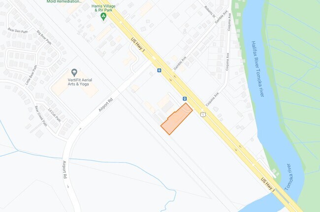
1020 N Us Highway 1, Ormond Beach, FL 32174


Property Detail
1020 N Us Highway 1
Deltona-Daytona Beach-Ormond Beach, FL
38-14-32 S/E 123.80 FT OF N/W 500 FT S OF CENTER GAMBLE AVE MEAS ON W/L OF US 1 PER DB 526 PG 593 OF THAT PART OF LOTS 30 & 31 LYING BETWEEN HWY & RR & INC S/E 11.83 FT OF S/W 120.10 FT OF N/E 286.13 FT & INC S/E 7.49 FT OF S/W 12.83 FT OF N/E 298.96
4238-01-30-0020
Volusia
Commercialnec
Florida
B and X Area of moderate flood hazard, usually the area between the limits of the 100-year and 500-year floods.
30-31
2025
1.33 AC
2026
Ormond Beach
080101
Deltona/Daytona Beach
15,810 SF
NEARBY LISTINGS FOR SALE OR LEASE
DEMOGRAPHICS near 1020 N Us Highway 1
1 mile
3 mile
5 mile
2025 Total Population
3,441
31,877
74,645
2030 Population
3,692
34,432
80,657
Pop Growth 2025-2030
+ 7.29%
+ 8.02%
+ 8.05%
Average Age
49
49
48
2025 Total Households
1,476
14,560
33,712
HH Growth 2025-2030
+ 7.32%
+ 8.10%
+ 8.15%
Median Household Inc
$85,323
$60,334
$64,104
Avg Household Size
2.30
2.10
2.10
2025 Avg HH Vehicles
2.00
2.00
2.00
Median Home Value
$419,643
$381,137
$369,833
Median Year Built
1992
1980
1983
Nearby Places
Map Layers
Map Styles
 Street
 Aerial
Layers
 Traffic
 Biking
Places
Listings with unknown addresses are not visible on the map
- Restaurants
- Banks
- Shops
- Fitness
- Groceries
PUBLIC TRANSPORTATION
AIRPORT
Daytona Beach International
Drive
Walk
Distance
Daytona Beach International
23 min
12.3 mi
Nearby Properties
Address
Land Use
TOTAL SIZE
Lot Size
Zoning
Address
Land Use
TOTAL SIZE
Lot Size
Zoning
12,394 SF
139.59 AC
Address
Land Use
TOTAL SIZE
Lot Size
Zoning
13,846 SF
126.83 AC
13T1
Address
Land Use
TOTAL SIZE
Lot Size
Zoning
137,934 SF
48.30 AC
Address
Land Use
TOTAL SIZE
Lot Size
Zoning
168,456 SF
15.74 AC
Address
Land Use
TOTAL SIZE
Lot Size
Zoning
144,576 SF
11.19 AC
13R6
Address
Land Use
TOTAL SIZE
Lot Size
Zoning
162,450 SF
1.42 AC
13B9
Address
Land Use
TOTAL SIZE
Lot Size
Zoning
5,350 SF
36.42 AC
13T1
Address
Land Use
TOTAL SIZE
Lot Size
Zoning
179,868 SF
0.33 AC
Address
Land Use
TOTAL SIZE
Lot Size
Zoning
161,123 SF
13.56 AC
I1
Address
Land Use
TOTAL SIZE
Lot Size
Zoning
148,966 SF
5.54 AC
13B10
Address
Land Use
TOTAL SIZE
Lot Size
Zoning
96,309 SF
29.04 AC
Address
Land Use
TOTAL SIZE
Lot Size
Zoning
87,633 SF
568.97 AC
RR
Address
Land Use
TOTAL SIZE
Lot Size
Zoning
127,463 SF
5.50 AC
01B2
Address
Land Use
TOTAL SIZE
Lot Size
Zoning
173,757 SF
11.64 AC
Address
Land Use
TOTAL SIZE
Lot Size
Zoning
125,088 SF
10.66 AC
B3
Address
Land Use
TOTAL SIZE
Lot Size
Zoning
94,926 SF
3.85 AC
Address
Land Use
TOTAL SIZE
Lot Size
Zoning
68,131 SF
5.53 AC
Address
Land Use
TOTAL SIZE
Lot Size
Zoning
102,345 SF
2.74 AC
Address
Land Use
TOTAL SIZE
Lot Size
Zoning
117,116 SF
18 AC
Address
Land Use
TOTAL SIZE
Lot Size
Zoning
180,677 SF
12.31 AC
13I1
Address
Land Use
TOTAL SIZE
Lot Size
Zoning
98,646 SF
6.88 AC
13B4
Address
Land Use
TOTAL SIZE
Lot Size
Zoning
85,950 SF
8.24 AC
Address
Land Use
TOTAL SIZE
Lot Size
Zoning
89,633 SF
9.66 AC
13R6
Address
Land Use
TOTAL SIZE
Lot Size
Zoning
194,615 SF
22.98 AC
13B9
Address
Land Use
TOTAL SIZE
Lot Size
Zoning
181,481 SF
8.76 AC
13I1
Address
Land Use
TOTAL SIZE
Lot Size
Zoning
50,626 SF
6.77 AC
13B1
Address
Land Use
TOTAL SIZE
Lot Size
Zoning
37,371 SF
7.86 AC
Address
Land Use
TOTAL SIZE
Lot Size
Zoning
35,322 SF
2.34 AC
13B1
Address
Land Use
TOTAL SIZE
Lot Size
Zoning
16,887 SF
9.09 AC
01I1
Address
Land Use
TOTAL SIZE
Lot Size
Zoning
38,511 SF
1.21 AC
The World's #1 Commercial Real Estate Marketplace
Connect with us
© 2026 CoStar Group
The information above has been obtained from sources believed reliable. While we do not doubt its accuracy we have not verified it and make no guarantee, warranty or representation about it. It is your responsibility to independently confirm its accuracy and completeness. Any projections, opinions, assumptions, or estimates used are for example only and do not represent the current or future performance of the property. The value of this transaction to you depends on tax and other factors which should be evaluated by your tax, financial, and legal advisors. You and your advisors should conduct a careful, independent investigation of the property to determine to your satisfaction the suitability of the property for your needs.